302 Hogan Dr Montrose, MN 55363
Estimated Value: $305,000 - $333,000
3
Beds
2
Baths
1,262
Sq Ft
$254/Sq Ft
Est. Value
About This Home
This home is located at 302 Hogan Dr, Montrose, MN 55363 and is currently estimated at $320,068, approximately $253 per square foot. 302 Hogan Dr is a home located in Wright County with nearby schools including Montrose Elementary School, Buffalo Community Middle School, and Buffalo Senior High School.
Ownership History
Date
Name
Owned For
Owner Type
Purchase Details
Closed on
May 28, 2004
Sold by
Woodside Parkview Llc
Bought by
Dewitte Cory C and Dewitte Jamie K
Current Estimated Value
Purchase Details
Closed on
Apr 30, 2004
Sold by
Woodside Parkview Llc
Bought by
Dewitte Cory C and Dewitte Jamie K
Purchase Details
Closed on
Jan 6, 2003
Sold by
Pilot Land Development Co
Bought by
Woodside Parkview Llc
Create a Home Valuation Report for This Property
The Home Valuation Report is an in-depth analysis detailing your home's value as well as a comparison with similar homes in the area
Home Values in the Area
Average Home Value in this Area
Purchase History
| Date | Buyer | Sale Price | Title Company |
|---|---|---|---|
| Dewitte Cory C | $186,208 | -- | |
| Dewitte Cory C | $186,208 | -- | |
| Woodside Parkview Llc | $2,041,000 | -- |
Source: Public Records
Tax History Compared to Growth
Tax History
| Year | Tax Paid | Tax Assessment Tax Assessment Total Assessment is a certain percentage of the fair market value that is determined by local assessors to be the total taxable value of land and additions on the property. | Land | Improvement |
|---|---|---|---|---|
| 2025 | $3,524 | $290,200 | $62,000 | $228,200 |
| 2024 | $3,452 | $287,500 | $65,000 | $222,500 |
| 2023 | $3,324 | $306,700 | $81,000 | $225,700 |
| 2022 | $3,198 | $273,400 | $72,000 | $201,400 |
| 2021 | $3,090 | $228,600 | $40,000 | $188,600 |
| 2020 | $3,120 | $216,700 | $35,000 | $181,700 |
| 2019 | $2,854 | $214,600 | $0 | $0 |
| 2018 | $2,586 | $185,600 | $0 | $0 |
| 2017 | $2,334 | $169,200 | $0 | $0 |
| 2016 | $2,214 | $0 | $0 | $0 |
| 2015 | $2,150 | $0 | $0 | $0 |
| 2014 | -- | $0 | $0 | $0 |
Source: Public Records
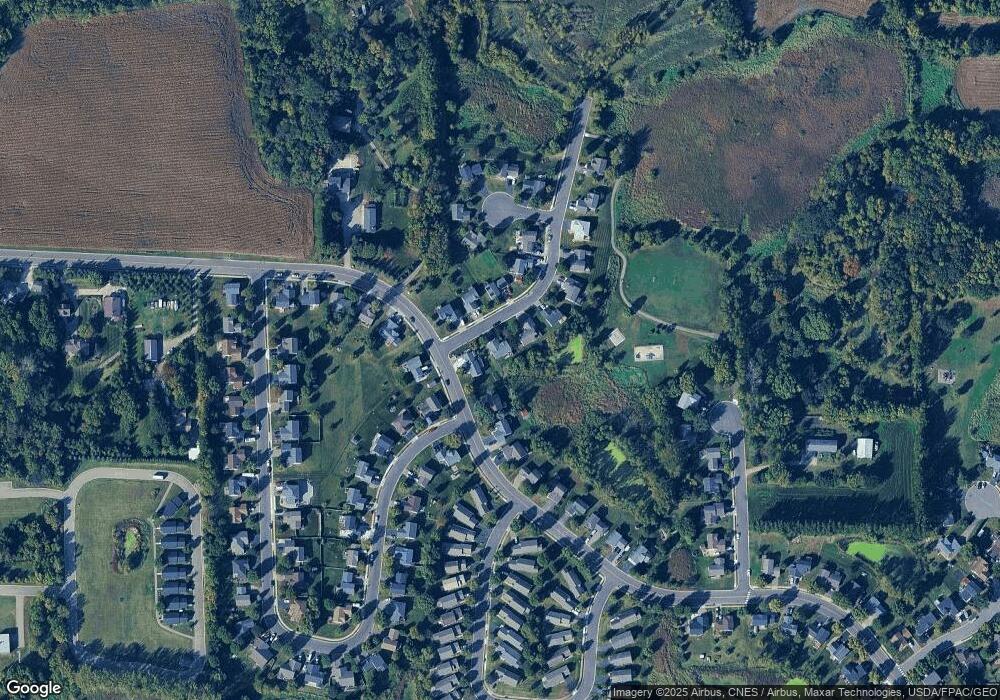
Map
Nearby Homes