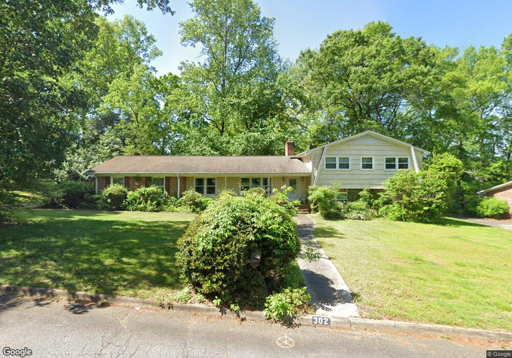
302 S Almond Dr Simpsonville, SC 29681
Estimated Value: $378,013 - $434,000
4
Beds
2
Baths
2,511
Sq Ft
$158/Sq Ft
Est. Value
About This Home
This home is located at 302 S Almond Dr, Simpsonville, SC 29681 and is currently estimated at $397,253, approximately $158 per square foot. 302 S Almond Dr is a home located in Greenville County with nearby schools including Simpsonville Elementary, Bryson Middle School, and Hillcrest High School.
Ownership History
Date
Name
Owned For
Owner Type
Purchase Details
Closed on
Jan 9, 2019
Sold by
Pennebaker Edward C
Bought by
Pennebaker Edward C and The Edward C Pennebaker Revocable Trust
Current Estimated Value
Purchase Details
Closed on
Aug 24, 2016
Sold by
Pennebaker Edward C
Bought by
Pennebaker Edward C
Purchase Details
Closed on
Jul 20, 2005
Sold by
Pennebaker Edward C
Bought by
Pennebaker Edward C Trustee
Purchase Details
Closed on
Jun 2, 2005
Sold by
Pennebaker Jean M
Bought by
Pennebaker Edward C
Create a Home Valuation Report for This Property
The Home Valuation Report is an in-depth analysis detailing your home's value as well as a comparison with similar homes in the area
Home Values in the Area
Average Home Value in this Area
Purchase History
| Date | Buyer | Sale Price | Title Company |
|---|---|---|---|
| Pennebaker Edward C | -- | None Available | |
| Pennebaker Edward C | -- | None Available | |
| Pennebaker Edward C Trustee | -- | -- | |
| Pennebaker Edward C | -- | -- |
Source: Public Records
Tax History Compared to Growth
Tax History
| Year | Tax Paid | Tax Assessment Tax Assessment Total Assessment is a certain percentage of the fair market value that is determined by local assessors to be the total taxable value of land and additions on the property. | Land | Improvement |
|---|---|---|---|---|
| 2024 | $1,220 | $7,740 | $1,110 | $6,630 |
| 2023 | $1,220 | $7,740 | $1,110 | $6,630 |
| 2022 | $1,194 | $7,740 | $1,110 | $6,630 |
| 2021 | $1,194 | $7,740 | $1,110 | $6,630 |
| 2020 | $1,073 | $6,720 | $960 | $5,760 |
| 2019 | $1,074 | $6,720 | $960 | $5,760 |
| 2018 | $939 | $6,720 | $960 | $5,760 |
| 2017 | $939 | $6,720 | $960 | $5,760 |
| 2016 | $892 | $168,150 | $24,040 | $144,110 |
| 2015 | $892 | $168,150 | $24,040 | $144,110 |
| 2014 | $725 | $146,220 | $29,000 | $117,220 |
Source: Public Records
Map
Nearby Homes
- 304 Chancellors Park Ct
- 216 Banbury Cir
- 114 Banbury Cir
- 100 Bonwood Ave
- 203 W Fernwood Rd
- 106 Stonegate Ct
- 112 Cook St
- 304 Tollgate Rd
- 113 Market Bay Ct
- 410 Richardson St Unit H
- 107 Edwards St
- 101 Iselin St
- 22 Daybreak Place
- 202 Wemberly Dr
- 214 Appomattox Dr
- 415 Raleighwood Ln
- 103 Silver Falls Dr
- 114 Delmar Dr
- 1602 Brentwood Way
- 251 Oak Branch Dr
- 208 S Almond Dr
- 308 Chancellors Park Ct
- 206 Banbury Cir
- 300 Chancellors Park Ct
- 208 Banbury Cir
- 119 Dumbarton Ave
- 204 Banbury Cir
- 202 Banbury Cir
- 306 S Almond Dr
- 116 Dumbarton Ave
- 260 Chancellors Park Ct
- 206 S Almond Dr
- 312 Chancellors Park Ct
- 200 Banbury Cir
- 212 Banbury Cir
- 206 Gatewood Ave
- 15 Knightsbridge Dr
- 15 Knightsbrigde Dr
- 117 Dumbarton Ave
- 256 Chancellors Park Ct