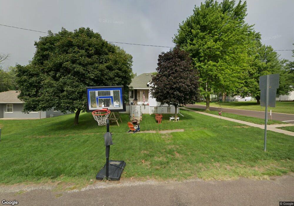
302 S Webster St MacKinaw, IL 61755
Estimated Value: $70,000 - $107,000
2
Beds
1
Bath
868
Sq Ft
$101/Sq Ft
Est. Value
About This Home
This home is located at 302 S Webster St, MacKinaw, IL 61755 and is currently estimated at $87,979, approximately $101 per square foot. 302 S Webster St is a home located in Tazewell County with nearby schools including Dee-Mack Primary/Junior High School, Dee-Mack Intermediate School, and Dee-Mack High School.
Ownership History
Date
Name
Owned For
Owner Type
Purchase Details
Closed on
Aug 12, 2016
Sold by
Johnson James H
Bought by
Cebuhar Craig A
Current Estimated Value
Purchase Details
Closed on
Aug 25, 2008
Sold by
Wood Charlotte J and Stockdale Linda L
Bought by
Johnson James H
Home Financials for this Owner
Home Financials are based on the most recent Mortgage that was taken out on this home.
Original Mortgage
$43,350
Interest Rate
6.42%
Mortgage Type
Purchase Money Mortgage
Create a Home Valuation Report for This Property
The Home Valuation Report is an in-depth analysis detailing your home's value as well as a comparison with similar homes in the area
Home Values in the Area
Average Home Value in this Area
Purchase History
| Date | Buyer | Sale Price | Title Company |
|---|---|---|---|
| Cebuhar Craig A | $38,000 | -- | |
| Johnson James H | $51,000 | None Available |
Source: Public Records
Mortgage History
| Date | Status | Borrower | Loan Amount |
|---|---|---|---|
| Previous Owner | Johnson James H | $43,350 |
Source: Public Records
Tax History Compared to Growth
Tax History
| Year | Tax Paid | Tax Assessment Tax Assessment Total Assessment is a certain percentage of the fair market value that is determined by local assessors to be the total taxable value of land and additions on the property. | Land | Improvement |
|---|---|---|---|---|
| 2024 | $1,495 | $19,770 | $5,320 | $14,450 |
| 2023 | $1,495 | $18,180 | $4,890 | $13,290 |
| 2022 | $1,412 | $16,760 | $4,510 | $12,250 |
| 2021 | $1,370 | $16,120 | $4,340 | $11,780 |
| 2020 | $1,343 | $15,650 | $4,210 | $11,440 |
| 2019 | $1,348 | $15,650 | $4,210 | $11,440 |
| 2018 | $1,334 | $15,650 | $4,210 | $11,440 |
| 2017 | $1,227 | $14,470 | $4,170 | $10,300 |
| 2016 | $1,752 | $20,840 | $4,170 | $16,670 |
| 2015 | $1,636 | $0 | $0 | $0 |
| 2013 | $1,523 | $19,870 | $1,900 | $17,970 |
Source: Public Records
Map
Nearby Homes
- 0 Illinois 9
- 103 S Monroe St
- 204 Tulip Dr
- 988 Heritage Dr
- 10 Summit Dr
- 29724 Allentown Rd
- 801 Heritage Dr
- 6 Raleigh Ave
- 29875 White Oak Dr
- 11283 Illinois 9
- 30403 Hancock Rd
- 16555 Mclean Rd
- 18196 River Rd
- 118 Bryant St
- 1209 Whippoorwill Dr
- 1263 Wheatfield Dr
- 305 E Martin Dr
- 101 N Oregon Ave
- 305 N Logan St
- 1156 Brentwood Rd
- 304 S Webster St
- 305 E Fifth St
- 305 E 5th St
- 308 E Fifth St
- 308 E 5th St
- 306 S Webster St
- 402 E Fifth St
- 402 E 5th St
- 304 E 5th St
- 304 E Fifth St
- 306 E 5th St
- 207 S Webster St
- 308 S Webster St
- 302 E Fifth St
- 206 S Webster St
- 303 S White St
- 404 E Fifth St
- 305 S White St
- 205 S Webster St
- 301 S White St