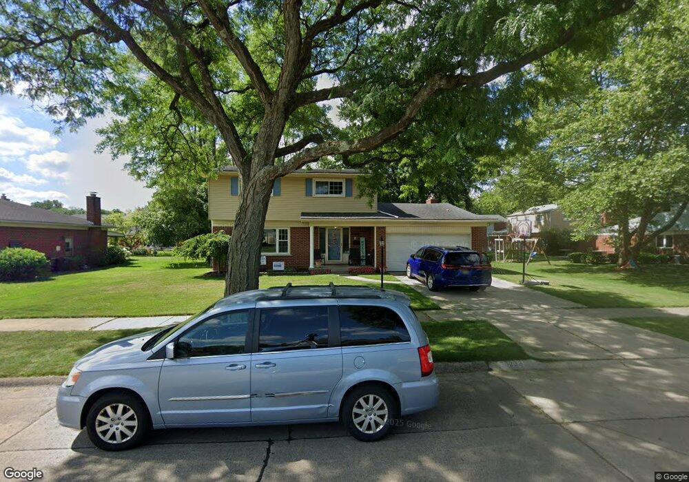
30233 Perth St Livonia, MI 48154
Estimated Value: $365,498 - $394,000
4
Beds
3
Baths
1,965
Sq Ft
$195/Sq Ft
Est. Value
About This Home
This home is located at 30233 Perth St, Livonia, MI 48154 and is currently estimated at $382,625, approximately $194 per square foot. 30233 Perth St is a home located in Wayne County with nearby schools including Roosevelt Elementary School, Emerson Middle School, and Cooper Upper Elementary School.
Ownership History
Date
Name
Owned For
Owner Type
Purchase Details
Closed on
Jan 28, 2021
Sold by
Thompson Cari Anne
Bought by
Thompson Cari Anne and Thompson Scott
Current Estimated Value
Home Financials for this Owner
Home Financials are based on the most recent Mortgage that was taken out on this home.
Original Mortgage
$183,800
Outstanding Balance
$163,723
Interest Rate
2.6%
Mortgage Type
Stand Alone Refi Refinance Of Original Loan
Estimated Equity
$218,902
Purchase Details
Closed on
Apr 15, 2009
Sold by
Palmer Heather Lynne
Bought by
Federal National Mortgage Association
Purchase Details
Closed on
Mar 30, 2006
Sold by
Mcnally Michael A and Mcnally Dorothy R
Bought by
Palmer Heather Lynne
Create a Home Valuation Report for This Property
The Home Valuation Report is an in-depth analysis detailing your home's value as well as a comparison with similar homes in the area
Home Values in the Area
Average Home Value in this Area
Purchase History
| Date | Buyer | Sale Price | Title Company |
|---|---|---|---|
| Thompson Cari Anne | -- | Amrock Llc | |
| Federal National Mortgage Association | $198,737 | None Available | |
| Palmer Heather Lynne | $207,000 | Multiple |
Source: Public Records
Mortgage History
| Date | Status | Borrower | Loan Amount |
|---|---|---|---|
| Open | Thompson Cari Anne | $183,800 |
Source: Public Records
Tax History Compared to Growth
Tax History
| Year | Tax Paid | Tax Assessment Tax Assessment Total Assessment is a certain percentage of the fair market value that is determined by local assessors to be the total taxable value of land and additions on the property. | Land | Improvement |
|---|---|---|---|---|
| 2025 | $2,003 | $172,400 | $0 | $0 |
| 2024 | $2,003 | $163,500 | $0 | $0 |
| 2023 | $1,911 | $146,500 | $0 | $0 |
| 2022 | $3,356 | $142,600 | $0 | $0 |
| 2021 | $3,622 | $130,100 | $0 | $0 |
| 2019 | $3,127 | $111,800 | $0 | $0 |
| 2018 | $1,616 | $103,000 | $0 | $0 |
| 2017 | $2,860 | $98,500 | $0 | $0 |
| 2016 | $3,007 | $98,500 | $0 | $0 |
| 2015 | $6,991 | $85,850 | $0 | $0 |
| 2012 | -- | $66,350 | $18,000 | $48,350 |
Source: Public Records
Map
Nearby Homes
- 30261 Buckingham St
- 14127 Hillcrest St
- 30831 Lyndon St
- 29631 Lyndon St
- 14292 Hubbell St
- 14154 Hubbell St
- 29831 Oakley St
- 14164 Bainbridge St
- 31126 Grennada St
- 31221 Lyndon St
- 14962 Beatrice St
- 29109 Perth St
- 29760 Hoy St
- 14109 Arden St
- 14327 Arden St
- 14563 Melrose St
- 14334 Sunbury St
- 14677 Auburndale St
- 15345 Bainbridge St
- 31005 Roycroft St
- 30219 Perth St
- 14196 Doris St
- 14182 Doris St
- 30234 Mason St
- 30205 Perth St
- 30220 Mason St
- 14166 Doris St
- 30236 Perth St
- 30222 Perth St
- 30206 Mason St
- 14232 Doris St
- 30163 Perth St
- 30208 Perth St
- 30150 Mason St
- 30166 Perth St
- 14197 Doris St
- 14183 Doris St
- 30143 Perth St
- 30257 Acacia St
- 30245 Acacia St