Estimated Value: $597,000 - $742,073
4
Beds
2
Baths
2,196
Sq Ft
$308/Sq Ft
Est. Value
About This Home
This home is located at 3025 Howard Ave, Rifle, CO 81650 and is currently estimated at $677,268, approximately $308 per square foot. 3025 Howard Ave is a home located in Garfield County with nearby schools including Wamsley Elementary School, Rifle Middle School, and Rifle High School.
Ownership History
Date
Name
Owned For
Owner Type
Purchase Details
Closed on
Jun 3, 2003
Sold by
Bailie Carol J
Bought by
Bailie Carol J and Bailie Robert C
Current Estimated Value
Home Financials for this Owner
Home Financials are based on the most recent Mortgage that was taken out on this home.
Original Mortgage
$215,000
Outstanding Balance
$93,907
Interest Rate
5.74%
Mortgage Type
Construction
Estimated Equity
$583,361
Purchase Details
Closed on
Dec 11, 1997
Purchase Details
Closed on
Jul 1, 1994
Purchase Details
Closed on
Jun 26, 1991
Create a Home Valuation Report for This Property
The Home Valuation Report is an in-depth analysis detailing your home's value as well as a comparison with similar homes in the area
Home Values in the Area
Average Home Value in this Area
Purchase History
| Date | Buyer | Sale Price | Title Company |
|---|---|---|---|
| Bailie Carol J | -- | -- | |
| -- | $172,000 | -- | |
| -- | $200,000 | -- | |
| -- | $100,000 | -- |
Source: Public Records
Mortgage History
| Date | Status | Borrower | Loan Amount |
|---|---|---|---|
| Open | Bailie Carol J | $215,000 |
Source: Public Records
Tax History Compared to Growth
Tax History
| Year | Tax Paid | Tax Assessment Tax Assessment Total Assessment is a certain percentage of the fair market value that is determined by local assessors to be the total taxable value of land and additions on the property. | Land | Improvement |
|---|---|---|---|---|
| 2024 | $2,368 | $37,760 | $14,960 | $22,800 |
| 2023 | $2,368 | $37,760 | $14,960 | $22,800 |
| 2022 | $1,852 | $32,820 | $14,600 | $18,220 |
| 2021 | $2,127 | $33,760 | $15,020 | $18,740 |
| 2020 | $1,412 | $26,450 | $13,940 | $12,510 |
| 2019 | $1,336 | $26,450 | $13,940 | $12,510 |
| 2018 | $1,199 | $24,140 | $11,160 | $12,980 |
| 2017 | $1,544 | $24,140 | $11,160 | $12,980 |
| 2016 | $1,487 | $26,320 | $8,360 | $17,960 |
| 2015 | $1,373 | $26,320 | $8,360 | $17,960 |
| 2014 | -- | $22,330 | $8,040 | $14,290 |
Source: Public Records
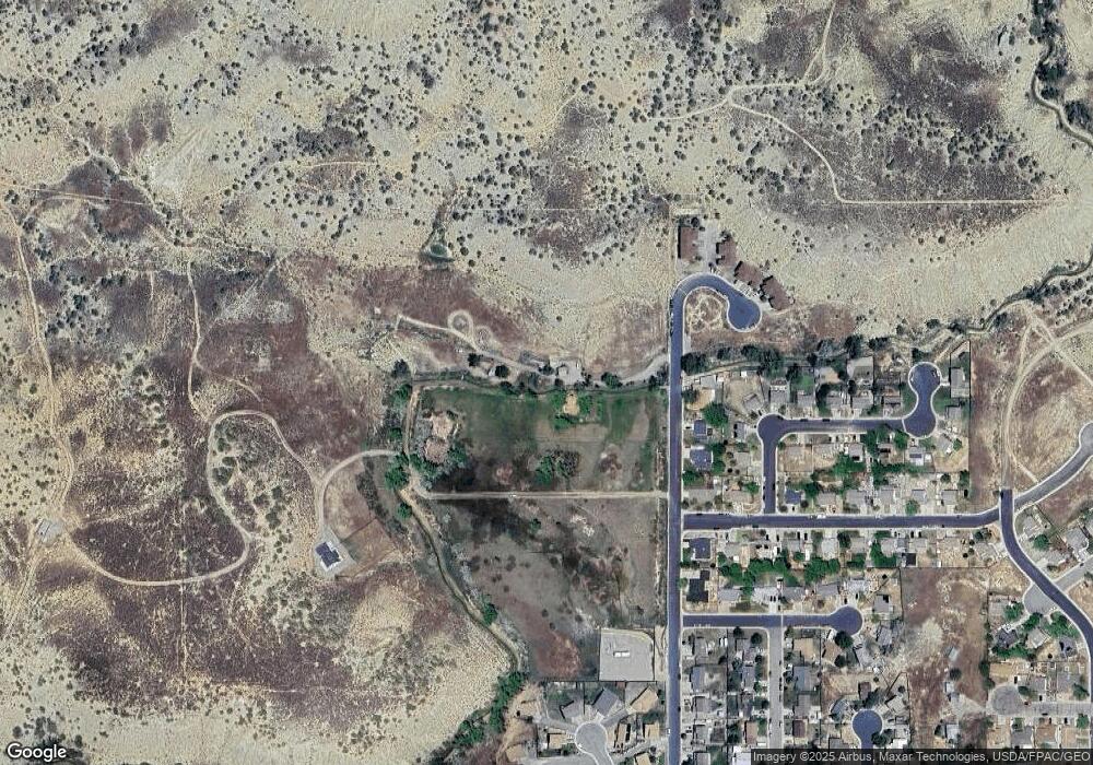
Map
Nearby Homes
- 2638 Shawnee Ct
- 2633 Shawnee Ct
- 2618 Apache Ct
- 2687 Fairview Heights Ct
- 405 W 26th St
- 211 W 28th Ct
- 2409 W 24th Place
- 2433 Pine Ln
- 3053 Coal Mine Ave
- 2501 Meadow Cir Unit 1
- 200 W 20th St Unit A142
- 200 W 20th St Unit E5
- 200 W 20th St Unit A24
- 200 W 20th St Unit E6
- 200 W 20th St Unit A128
- 200 W 20th St Unit A145
- 200 W 20th St Unit A139
- 200 W 20th St Unit E4
- 200 W 20th St Unit D20
- 321 Columbine Dr
- 3022 Howard Ave
- 3016 Howard Ave
- 3010 Howard Ave
- 760 W 30th St
- 3112 W 31st Ct
- 3112 W West 31st Ct
- 3124 W 31st Ct
- 3100 W 31st Ct
- 726 W 30th St
- 3109 Howard Ave Unit 4
- 2928 Howard Ave
- 3107 Howard Ave
- 3136 W 31st Ct
- 3105 Howard Ave Unit 2
- 3103 Howard Ave Unit 1
- 3115 Howard Ave
- 739 W 30th St
- 3113 Howard Ave Unit 6
- 3117 Howard Ave
- 748 W 29th St