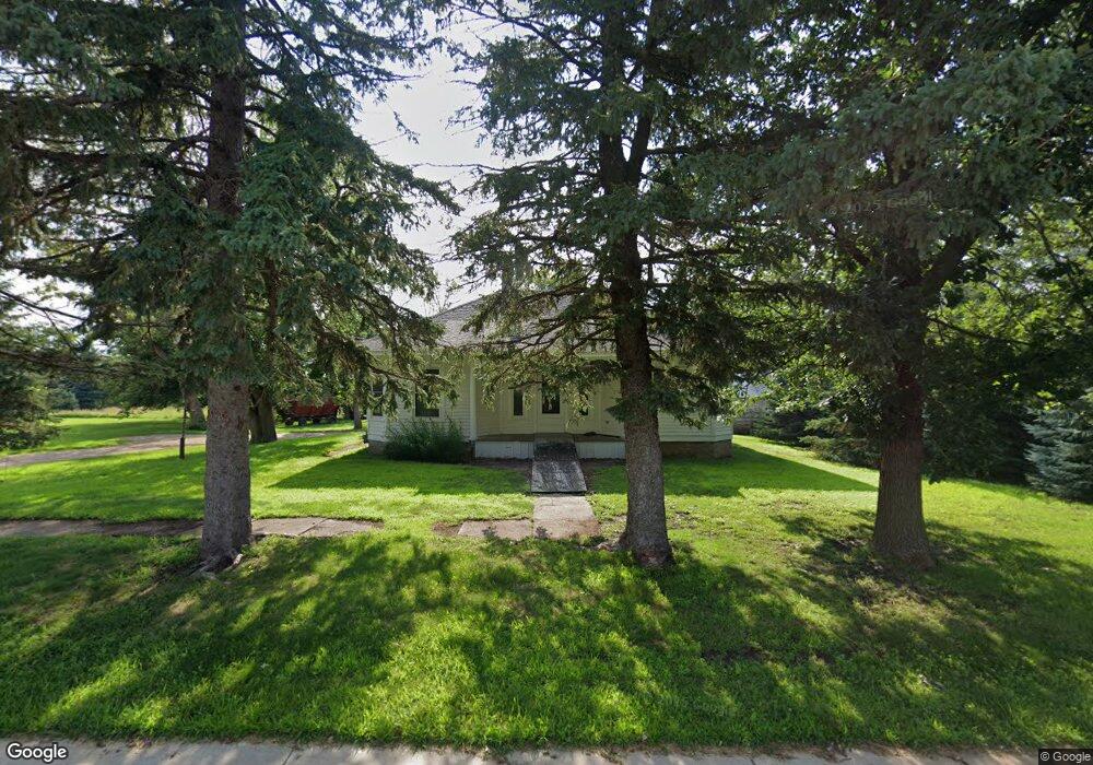
303 Liberty Ave Little Rock, IA 51243
Estimated Value: $70,374 - $114,000
--
Bed
--
Bath
1,032
Sq Ft
$88/Sq Ft
Est. Value
About This Home
This home is located at 303 Liberty Ave, Little Rock, IA 51243 and is currently estimated at $91,094, approximately $88 per square foot. 303 Liberty Ave is a home located in Lyon County with nearby schools including George-Little Rock Senior High School.
Ownership History
Date
Name
Owned For
Owner Type
Purchase Details
Closed on
Jun 28, 2023
Sold by
Klaahsen Blair and Klaahsen Sharon
Bought by
Troy Klaahsen Supplemental Needs Trust and Lansink
Current Estimated Value
Purchase Details
Closed on
Jun 15, 2023
Sold by
Klaahsen Brent A
Bought by
Klaahsen Irrevocable Trust and Kruger
Purchase Details
Closed on
Feb 9, 2015
Sold by
Klaashsen Carol M
Bought by
Klaahsen Brent A and Klaahsen Blair L
Purchase Details
Closed on
May 13, 2014
Sold by
Klaahsen Carol M
Bought by
Klaahsen Brent A and Klaahsen Blair L
Create a Home Valuation Report for This Property
The Home Valuation Report is an in-depth analysis detailing your home's value as well as a comparison with similar homes in the area
Home Values in the Area
Average Home Value in this Area
Purchase History
| Date | Buyer | Sale Price | Title Company |
|---|---|---|---|
| Troy Klaahsen Supplemental Needs Trust | -- | None Listed On Document | |
| Klaahsen Irrevocable Trust | -- | None Listed On Document | |
| Klaahsen Brent A | -- | None Available | |
| Klaahsen Brent A | -- | None Available |
Source: Public Records
Tax History Compared to Growth
Tax History
| Year | Tax Paid | Tax Assessment Tax Assessment Total Assessment is a certain percentage of the fair market value that is determined by local assessors to be the total taxable value of land and additions on the property. | Land | Improvement |
|---|---|---|---|---|
| 2025 | $354 | $29,150 | $11,580 | $17,570 |
| 2024 | $330 | $24,220 | $11,580 | $12,640 |
| 2023 | $348 | $24,220 | $11,580 | $12,640 |
| 2022 | $346 | $20,950 | $11,580 | $9,370 |
| 2021 | $346 | $20,950 | $11,580 | $9,370 |
| 2020 | $260 | $14,440 | $9,290 | $5,150 |
| 2019 | $262 | $13,990 | $0 | $0 |
| 2018 | $254 | $13,990 | $0 | $0 |
| 2017 | $254 | $13,330 | $0 | $0 |
| 2016 | $236 | $13,330 | $0 | $0 |
| 2015 | $236 | $10,581 | $0 | $0 |
| 2014 | -- | $10,581 | $0 | $0 |
Source: Public Records
Map
Nearby Homes