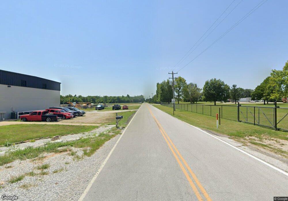
3042 S Farm Road 103 Brookline, MO 65619
Estimated Value: $393,000 - $4,402,776
3
Beds
2
Baths
2,256
Sq Ft
$1,063/Sq Ft
Est. Value
About This Home
This home is located at 3042 S Farm Road 103, Brookline, MO 65619 and is currently estimated at $2,397,888, approximately $1,062 per square foot. 3042 S Farm Road 103 is a home located in Greene County with nearby schools including Lyon Elementary School, Republic Middle School, and Republic High School.
Ownership History
Date
Name
Owned For
Owner Type
Purchase Details
Closed on
Apr 17, 2025
Sold by
Republic School District and Greene County Reorganized School Distric
Bought by
Drury Properties Inc
Current Estimated Value
Purchase Details
Closed on
Dec 9, 2022
Sold by
Orr Trust
Bought by
Republic School District
Purchase Details
Closed on
May 18, 2007
Sold by
Orr Robert
Bought by
Orr Robert A
Create a Home Valuation Report for This Property
The Home Valuation Report is an in-depth analysis detailing your home's value as well as a comparison with similar homes in the area
Home Values in the Area
Average Home Value in this Area
Purchase History
| Date | Buyer | Sale Price | Title Company |
|---|---|---|---|
| Drury Properties Inc | -- | None Listed On Document | |
| Drury Properties Inc | -- | None Listed On Document | |
| Republic School District | -- | -- | |
| Orr Trust | -- | -- | |
| Orr Robert A | -- | None Available |
Source: Public Records
Tax History Compared to Growth
Tax History
| Year | Tax Paid | Tax Assessment Tax Assessment Total Assessment is a certain percentage of the fair market value that is determined by local assessors to be the total taxable value of land and additions on the property. | Land | Improvement |
|---|---|---|---|---|
| 2025 | -- | $0 | $0 | $0 |
| 2024 | $1,258 | $0 | $0 | $0 |
| 2023 | $1,258 | $22,950 | $12,150 | $10,800 |
| 2022 | $1,182 | $21,470 | $12,150 | $9,320 |
| 2021 | $1,175 | $21,470 | $12,150 | $9,320 |
| 2020 | $1,169 | $21,030 | $12,150 | $8,880 |
| 2019 | $1,165 | $21,030 | $12,150 | $8,880 |
| 2018 | $1,255 | $21,890 | $12,190 | $9,700 |
| 2017 | $1,245 | $21,360 | $12,190 | $9,170 |
| 2016 | $1,228 | $21,360 | $12,190 | $9,170 |
| 2015 | $1,224 | $21,360 | $12,190 | $9,170 |
| 2014 | $1,190 | $20,590 | $11,980 | $8,610 |
Source: Public Records
Map
Nearby Homes
- 1205 S Kristopher Ave
- 1382 S Kristopher Ave
- 730 W Apache St
- 573 S Charlotte Ct
- 552 S Michelle Ave
- 473 W Melody Ln
- 2450 Highway 60
- .94+/- Ac Highway 60
- 1135 W Broad St
- 530 Ashley St
- 1151 S Bordeaux Ave
- 5751 S Farm Road 67
- 000 W Crestview Ln
- 975 S Montpelier Ct
- 1021 W Crestview Ln
- 401 Ethan Ave
- 304 W Picardy St
- 0 Highway 60 Unit 60308100
- 0 Highway 60 Unit 60308095
- 1331 S Venice Ave
- 860 Us Highway 60 W
- 860 U S Highway 60 W
- 860 Us Highway 60 W
- 0 Westbury St Unit 60113947
- 1213 S Choctaw Rd
- 1211 S Choctaw Rd
- 1205 S Choctaw Rd
- 1203 S Choctaw Rd
- 1195 S Choctaw Rd
- 1183 S Choctaw Rd
- 1243 S Choctaw Rd
- 798 S Kansas Ave
- 798 S Kansas Ave
- 798 S Kansas Ave
- 739 W Melody Ln
- 1312 S Choctaw Rd
- 1379 S Choctaw Rd
- 1351 S Choctaw Rd
- 1392 S Choctaw Rd
- 1368 S Choctaw Rd