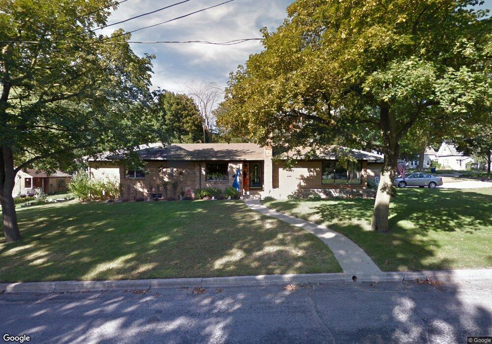
305 S Lincoln St Greenville, MI 48838
Estimated Value: $262,000 - $309,105
3
Beds
2
Baths
2,215
Sq Ft
$128/Sq Ft
Est. Value
About This Home
This home is located at 305 S Lincoln St, Greenville, MI 48838 and is currently estimated at $283,276, approximately $127 per square foot. 305 S Lincoln St is a home located in Montcalm County with nearby schools including Greenville Senior High School, Flat River Academy - Middle/High School, and Grattan Academy - Elementary.
Ownership History
Date
Name
Owned For
Owner Type
Purchase Details
Closed on
Aug 9, 2004
Sold by
Cantrell L J and Cantrell Margaret
Bought by
Faber William M
Current Estimated Value
Home Financials for this Owner
Home Financials are based on the most recent Mortgage that was taken out on this home.
Original Mortgage
$110,000
Outstanding Balance
$54,909
Interest Rate
6.1%
Mortgage Type
Purchase Money Mortgage
Estimated Equity
$228,367
Purchase Details
Closed on
Aug 3, 2001
Sold by
Kenward Chris
Bought by
Cantrell Cantrell L and Cantrell Margaret
Create a Home Valuation Report for This Property
The Home Valuation Report is an in-depth analysis detailing your home's value as well as a comparison with similar homes in the area
Home Values in the Area
Average Home Value in this Area
Purchase History
| Date | Buyer | Sale Price | Title Company |
|---|---|---|---|
| Faber William M | $156,000 | Beltline Title Agency Inc | |
| Faber William M | $156,000 | -- | |
| Cantrell Cantrell L | $144,000 | -- |
Source: Public Records
Mortgage History
| Date | Status | Borrower | Loan Amount |
|---|---|---|---|
| Open | Faber William M | $110,000 |
Source: Public Records
Tax History Compared to Growth
Tax History
| Year | Tax Paid | Tax Assessment Tax Assessment Total Assessment is a certain percentage of the fair market value that is determined by local assessors to be the total taxable value of land and additions on the property. | Land | Improvement |
|---|---|---|---|---|
| 2025 | $3,321 | $153,100 | $0 | $0 |
| 2024 | $3,286 | $142,500 | $0 | $0 |
| 2023 | -- | $127,500 | $0 | $0 |
| 2022 | $3,310 | $106,300 | $0 | $0 |
| 2021 | $3,169 | $96,300 | $0 | $0 |
| 2020 | -- | -- | $0 | $0 |
| 2019 | -- | -- | $0 | $0 |
| 2018 | -- | -- | $0 | $0 |
| 2017 | -- | -- | $0 | $0 |
| 2016 | -- | -- | $0 | $0 |
| 2015 | -- | -- | $0 | $0 |
| 2014 | -- | -- | $0 | $0 |
Source: Public Records
Map
Nearby Homes
- 522 W Cass St
- 315 S Cross St
- 409 S Luray St
- 605 W Montcalm St
- VL W Washington St
- 306 W Grove St
- 510 W Oak Ridge
- 215 W Grove St
- 1010 W Orange St
- 923 W Grove St
- 605 S Franklin St
- 213 W Montcalm St
- Lot 31 W High St
- Lot 32 W High St
- 212 S Hillcrest St
- 614 W South St
- 210 E Washington St
- 927 S Alexander St
- 120 E Montcalm St
- 615 S Webster St
- 607 W Cass St
- 309 S Lincoln St
- 609 W Cass St
- 527 W Cass St
- 308 S Lincoln St
- 606 W Washington St
- 600 W Washington St
- 615 W Cass St
- 602 W Cass St
- 534 W Cass St
- 606 W Cass St
- 524 W Washington St
- 523 W Cass St
- 524 W Cass St
- 610 W Cass St
- 520 W Washington St
- 614 W Washington St
- 614 W Cass St
- 519 W Cass St
- 516 W Washington St