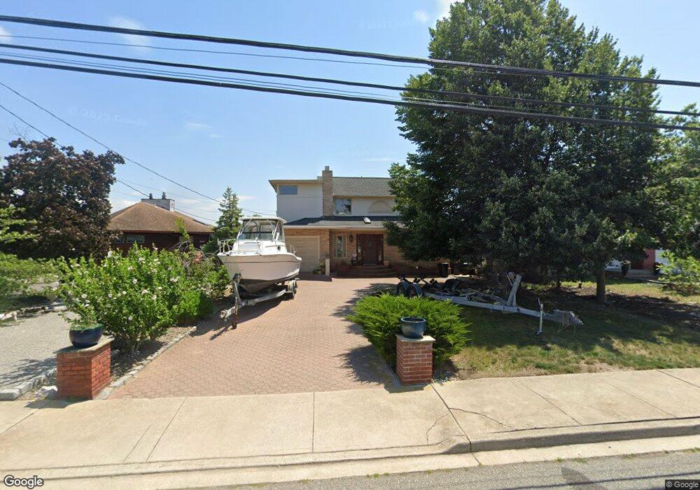
305 Westside Ave Freeport, NY 11520
Estimated Value: $704,000 - $784,332
3
Beds
2
Baths
1,952
Sq Ft
$381/Sq Ft
Est. Value
About This Home
This home is located at 305 Westside Ave, Freeport, NY 11520 and is currently estimated at $744,166, approximately $381 per square foot. 305 Westside Ave is a home located in Nassau County with nearby schools including Columbus Avenue School, Caroline G. Atkinson Intermediate School, and John W Dodd Middle School.
Ownership History
Date
Name
Owned For
Owner Type
Purchase Details
Closed on
Dec 8, 2017
Sold by
Dugan Jane and Dugan Charles M
Bought by
Mattar Hanan and Aziz Marawan
Current Estimated Value
Home Financials for this Owner
Home Financials are based on the most recent Mortgage that was taken out on this home.
Original Mortgage
$444,600
Outstanding Balance
$373,927
Interest Rate
3.9%
Mortgage Type
New Conventional
Estimated Equity
$370,239
Create a Home Valuation Report for This Property
The Home Valuation Report is an in-depth analysis detailing your home's value as well as a comparison with similar homes in the area
Home Values in the Area
Average Home Value in this Area
Purchase History
| Date | Buyer | Sale Price | Title Company |
|---|---|---|---|
| Mattar Hanan | $468,000 | Fidelity National Title |
Source: Public Records
Mortgage History
| Date | Status | Borrower | Loan Amount |
|---|---|---|---|
| Open | Mattar Hanan | $444,600 |
Source: Public Records
Tax History Compared to Growth
Tax History
| Year | Tax Paid | Tax Assessment Tax Assessment Total Assessment is a certain percentage of the fair market value that is determined by local assessors to be the total taxable value of land and additions on the property. | Land | Improvement |
|---|---|---|---|---|
| 2025 | $12,506 | $580 | $216 | $364 |
| 2024 | $1,248 | $580 | $216 | $364 |
| 2023 | $11,702 | $580 | $216 | $364 |
| 2022 | $11,702 | $580 | $216 | $364 |
| 2021 | $16,517 | $556 | $207 | $349 |
| 2020 | $10,631 | $619 | $475 | $144 |
| 2019 | $1,027 | $619 | $475 | $144 |
| 2018 | $4,359 | $619 | $0 | $0 |
| 2017 | $6,049 | $619 | $475 | $144 |
| 2016 | $6,978 | $619 | $454 | $165 |
| 2015 | $894 | $619 | $454 | $165 |
| 2014 | $894 | $619 | $454 | $165 |
| 2013 | $883 | $647 | $475 | $172 |
Source: Public Records
Map
Nearby Homes
- 292 Westside Ave
- 479 Roosevelt Ave
- 226 Westside Ave Unit B
- 744 S Long Beach Ave
- 470 Miller Ave
- 587 S Bayview Ave
- 232 Nassau Ave
- 65 Adams St
- 159 Branch Ave
- 106 Irving Ave
- 171 Westside Ave
- 209 Nassau Ave
- 374 Miller Ave
- 570 S Ocean Ave
- 31 Casino St Unit PH
- 465 Nassau Ave
- 829 S Long Beach Ave
- 536 S Ocean Ave
- 322 Miller Ave
- 28 Florence Ave
- 311 Westside Ave
- 299 Westside Ave
- 315 Westside Ave
- 275 Westside Ave
- 10 Clinton St
- 10 Clinton St Unit upper
- 289 Westside Ave
- 306 Westside Ave
- 302 Westside Ave
- 312 Westside Ave
- 296 Westside Ave
- 316 Westside Ave
- 281 Westside Ave
- 30 Clinton St
- 9 Clinton St
- 307 Saint Marks Ave
- 301 Saint Marks Ave
- 311 Saint Marks Ave
- 297 Saint Marks Ave
- 269 Westside Ave