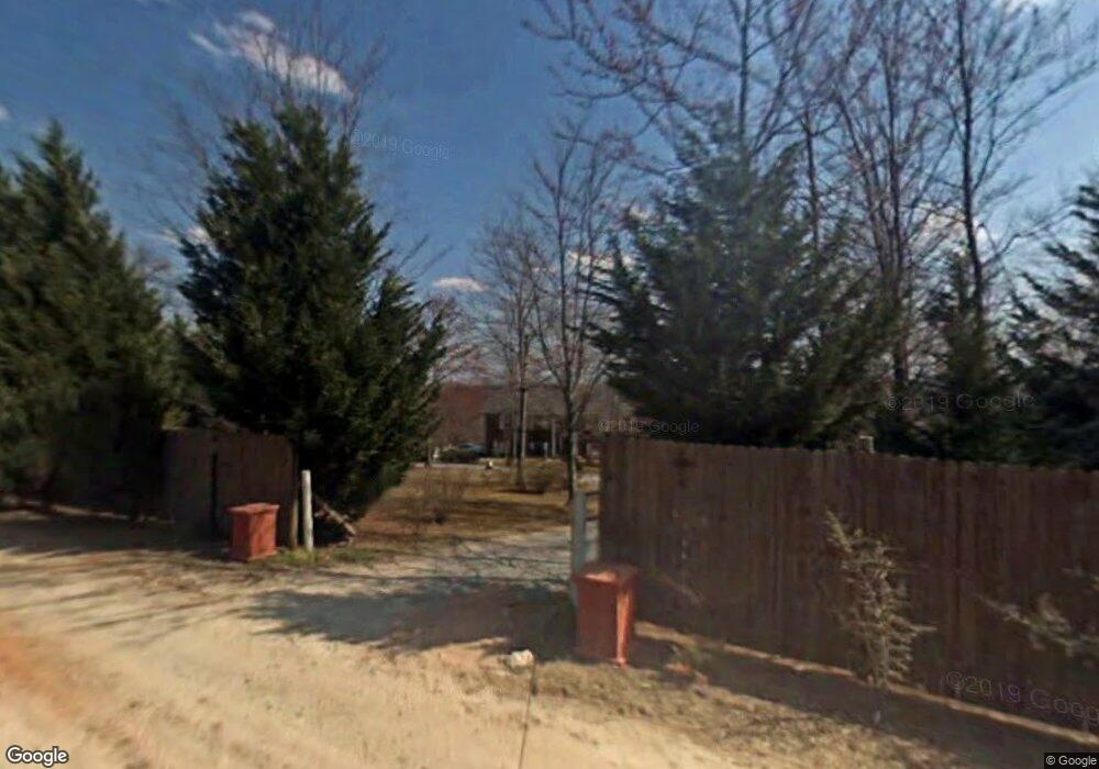
306 Honey Branch Ln Ararat, NC 27007
Estimated Value: $362,359 - $461,000
3
Beds
3
Baths
2,436
Sq Ft
$176/Sq Ft
Est. Value
About This Home
This home is located at 306 Honey Branch Ln, Ararat, NC 27007 and is currently estimated at $427,590, approximately $175 per square foot. 306 Honey Branch Ln is a home located in Surry County with nearby schools including Shoals Elementary School, Pilot Mountain Middle School, and East Surry High School.
Ownership History
Date
Name
Owned For
Owner Type
Purchase Details
Closed on
Apr 6, 2017
Sold by
Adam Lowe D
Bought by
Kunz Matthew Alexander and Kunz Samantha Simpson
Current Estimated Value
Home Financials for this Owner
Home Financials are based on the most recent Mortgage that was taken out on this home.
Original Mortgage
$216,015
Outstanding Balance
$177,001
Interest Rate
3.75%
Mortgage Type
FHA
Estimated Equity
$250,589
Purchase Details
Closed on
Aug 31, 2011
Sold by
Mitchell James and Mitchell Edith Lawson
Bought by
Lowe D Adam and Lowe Teirraha Chanel
Home Financials for this Owner
Home Financials are based on the most recent Mortgage that was taken out on this home.
Original Mortgage
$136,904
Interest Rate
4.53%
Mortgage Type
Purchase Money Mortgage
Purchase Details
Closed on
Apr 1, 2003
Purchase Details
Closed on
Jun 1, 1991
Purchase Details
Closed on
Feb 1, 1990
Create a Home Valuation Report for This Property
The Home Valuation Report is an in-depth analysis detailing your home's value as well as a comparison with similar homes in the area
Home Values in the Area
Average Home Value in this Area
Purchase History
| Date | Buyer | Sale Price | Title Company |
|---|---|---|---|
| Kunz Matthew Alexander | $220,000 | None Available | |
| Lowe D Adam | $137,000 | None Available | |
| -- | -- | -- | |
| -- | -- | -- | |
| -- | -- | -- |
Source: Public Records
Mortgage History
| Date | Status | Borrower | Loan Amount |
|---|---|---|---|
| Open | Kunz Matthew Alexander | $216,015 | |
| Previous Owner | Lowe D Adam | $136,904 |
Source: Public Records
Tax History Compared to Growth
Tax History
| Year | Tax Paid | Tax Assessment Tax Assessment Total Assessment is a certain percentage of the fair market value that is determined by local assessors to be the total taxable value of land and additions on the property. | Land | Improvement |
|---|---|---|---|---|
| 2025 | $1,593 | $273,380 | $30,000 | $243,380 |
| 2024 | $1,455 | $227,760 | $24,000 | $203,760 |
| 2023 | $1,257 | $227,760 | $24,000 | $203,760 |
| 2022 | $1,430 | $227,760 | $24,000 | $203,760 |
| 2021 | $1,455 | $227,760 | $24,000 | $203,760 |
| 2020 | $1,477 | $220,370 | $22,000 | $198,370 |
| 2019 | $1,474 | $220,370 | $0 | $0 |
| 2018 | $1,449 | $220,370 | $0 | $0 |
| 2017 | $1,309 | $220,370 | $0 | $0 |
| 2016 | $1,309 | $195,380 | $0 | $0 |
| 2013 | -- | $190,480 | $0 | $0 |
Source: Public Records
Map
Nearby Homes
- 235 Hunter Ridge Ln
- 112 Balcony Ln
- 250 High Meadow Trail
- 123 Old Brintle St
- 000 Old Childress Ave
- 151 Siloam Rd
- 366 Sheep Farm Rd
- 167 Buck Hollow Trail
- 181 Fox Walk Ln
- 1398 Simpson Mill Rd
- 278 Old Us Highway 52
- 115 Stout Ln
- 156 Grace Way
- TBD Marion Dr
- 0 Marion Dr
- 1520 Edgewood Dr
- Tbd Farmbrook Rd
- 01 Farmbrook Rd
- 000000 Farmbrook Rd
- 00000 Farmbrook Rd
- 285 Honey Branch Ln
- 333 Honey Branch Ln
- 00 Honey Branch Ln
- 0 Honey Branch Ln
- 233 Honey Branch Ln
- 161 Starseed Trail
- 150 Honey Branch Ln
- 255 Radar Rd
- 145 Honey Branch Ln
- 249 Radar Rd
- 281 Radar Rd
- 299 Radar Rd
- 127 Honey Branch Ln
- 503 Radar Rd
- 330 Radar Rd
- 340 Radar Rd
- 210 Radar Rd
- 111 Honey Branch Ln
- 489 Radar Rd
- 380 Radar Rd