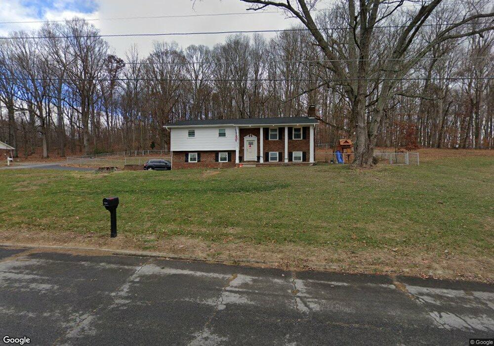
307 Green Ln Blountville, TN 37617
Estimated Value: $278,995 - $486,000
--
Bed
3
Baths
1,325
Sq Ft
$262/Sq Ft
Est. Value
About This Home
This home is located at 307 Green Ln, Blountville, TN 37617 and is currently estimated at $347,499, approximately $262 per square foot. 307 Green Ln is a home located in Sullivan County with nearby schools including Holston Elementary School, Sullivan Central Middle School, and Tri-Cities Christian Academy.
Ownership History
Date
Name
Owned For
Owner Type
Purchase Details
Closed on
Dec 27, 2021
Sold by
Conkin Joel A and Conkin Julie E
Bought by
Collins Markell Anthony and Conkin Jobeth Ashley
Current Estimated Value
Home Financials for this Owner
Home Financials are based on the most recent Mortgage that was taken out on this home.
Original Mortgage
$244,000
Outstanding Balance
$224,491
Interest Rate
2.98%
Mortgage Type
VA
Estimated Equity
$123,008
Purchase Details
Closed on
Jan 15, 2021
Sold by
Livingston James Tracy and Livingston Russell Dean
Bought by
Conkin Joel A and Conkin Julie E
Create a Home Valuation Report for This Property
The Home Valuation Report is an in-depth analysis detailing your home's value as well as a comparison with similar homes in the area
Home Values in the Area
Average Home Value in this Area
Purchase History
| Date | Buyer | Sale Price | Title Company |
|---|---|---|---|
| Collins Markell Anthony | $244,000 | Reliable Title & Escrow Llc | |
| Conkin Joel A | $96,030 | None Available |
Source: Public Records
Mortgage History
| Date | Status | Borrower | Loan Amount |
|---|---|---|---|
| Open | Collins Markell Anthony | $244,000 |
Source: Public Records
Tax History Compared to Growth
Tax History
| Year | Tax Paid | Tax Assessment Tax Assessment Total Assessment is a certain percentage of the fair market value that is determined by local assessors to be the total taxable value of land and additions on the property. | Land | Improvement |
|---|---|---|---|---|
| 2024 | $909 | $36,425 | $4,975 | $31,450 |
| 2023 | $876 | $36,425 | $4,975 | $31,450 |
| 2022 | $879 | $36,550 | $4,975 | $31,575 |
| 2021 | $879 | $36,550 | $4,975 | $31,575 |
| 2020 | $876 | $36,550 | $4,975 | $31,575 |
| 2019 | $876 | $34,100 | $4,975 | $29,125 |
| 2018 | $870 | $34,100 | $4,975 | $29,125 |
| 2017 | $870 | $34,100 | $4,975 | $29,125 |
| 2016 | $730 | $28,350 | $4,950 | $23,400 |
| 2014 | $654 | $28,366 | $0 | $0 |
Source: Public Records
Map
Nearby Homes
- 355 Holston Dr
- 101 Bond Town Rd
- 550 Country View Private Dr
- 2188 Tennessee 75
- 210 Centenary Rd
- The Quinn Plan at Ashland Oaks
- The Audrey Plan at Ashland Oaks
- Phoenix Single Plan at Ashland Oaks
- 132 Sanders St
- 1091 Shipley Ferry Rd
- 239 Brown Cir
- 129 Forest Ln N
- 304 Rutledge Ln
- 205 Grande Harbor Way
- 191 Grande Harbor Way
- 148 Forest Ln S
- 295 Brown Cir
- 999 Muddy Creek Rd
- 205 Forest Ct
- 1009 Muddy Creek Rd