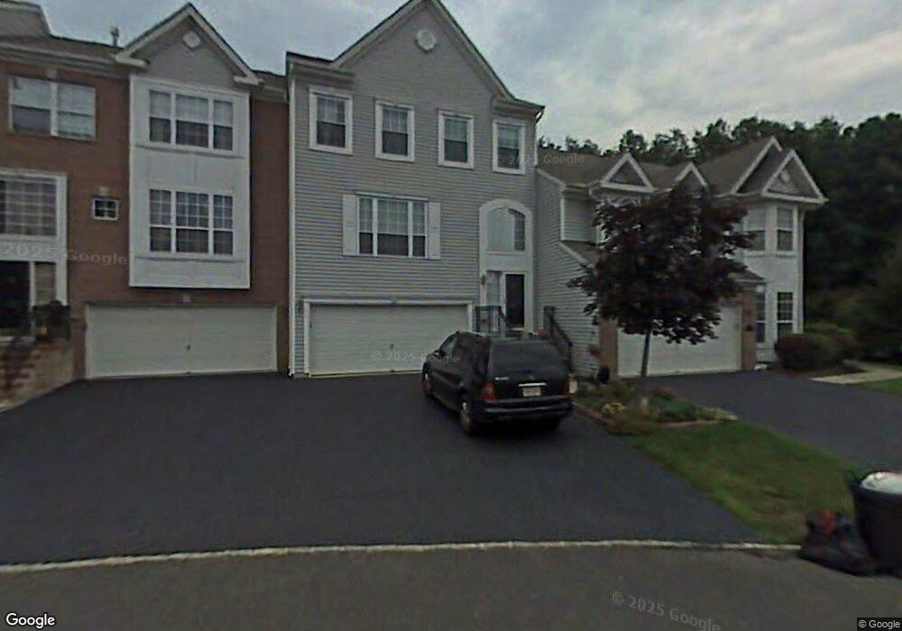
308 Bernard Dr Morganville, NJ 07751
Estimated Value: $730,357 - $774,000
3
Beds
4
Baths
2,290
Sq Ft
$332/Sq Ft
Est. Value
About This Home
This home is located at 308 Bernard Dr, Morganville, NJ 07751 and is currently estimated at $759,839, approximately $331 per square foot. 308 Bernard Dr is a home located in Monmouth County with nearby schools including Robertsville Elementary School, Marlboro Memorial Middle School, and Marlboro High School.
Ownership History
Date
Name
Owned For
Owner Type
Purchase Details
Closed on
Oct 6, 2005
Sold by
Kravchenko Michael
Bought by
Kravchenko Michael and Kravchenko Yelena
Current Estimated Value
Purchase Details
Closed on
Nov 17, 2004
Sold by
Gelman Kenneth
Bought by
Kravchenko Michael
Purchase Details
Closed on
Jun 29, 2004
Sold by
Korman Brett
Bought by
Gelman Kenneth and Gelman Jill
Home Financials for this Owner
Home Financials are based on the most recent Mortgage that was taken out on this home.
Original Mortgage
$107,000
Interest Rate
6.33%
Purchase Details
Closed on
Mar 29, 2000
Sold by
K Land No 18 Llc
Bought by
Kofman Brett and Kofman Robyn
Home Financials for this Owner
Home Financials are based on the most recent Mortgage that was taken out on this home.
Original Mortgage
$170,000
Interest Rate
8.3%
Create a Home Valuation Report for This Property
The Home Valuation Report is an in-depth analysis detailing your home's value as well as a comparison with similar homes in the area
Home Values in the Area
Average Home Value in this Area
Purchase History
| Date | Buyer | Sale Price | Title Company |
|---|---|---|---|
| Kravchenko Michael | -- | -- | |
| Kravchenko Michael | $425,000 | -- | |
| Gelman Kenneth | $422,000 | -- | |
| Kofman Brett | $230,440 | -- |
Source: Public Records
Mortgage History
| Date | Status | Borrower | Loan Amount |
|---|---|---|---|
| Previous Owner | Gelman Kenneth | $107,000 | |
| Previous Owner | Kofman Brett | $170,000 |
Source: Public Records
Tax History Compared to Growth
Tax History
| Year | Tax Paid | Tax Assessment Tax Assessment Total Assessment is a certain percentage of the fair market value that is determined by local assessors to be the total taxable value of land and additions on the property. | Land | Improvement |
|---|---|---|---|---|
| 2025 | $9,524 | $380,500 | $174,000 | $206,500 |
| 2024 | $9,128 | $380,500 | $174,000 | $206,500 |
| 2023 | $9,128 | $380,500 | $174,000 | $206,500 |
| 2022 | $8,908 | $380,500 | $174,000 | $206,500 |
| 2021 | $8,809 | $380,500 | $174,000 | $206,500 |
| 2020 | $8,809 | $380,500 | $174,000 | $206,500 |
| 2019 | $8,809 | $380,500 | $174,000 | $206,500 |
| 2018 | $8,660 | $380,500 | $174,000 | $206,500 |
| 2017 | $8,485 | $380,500 | $174,000 | $206,500 |
| 2016 | $8,455 | $380,500 | $174,000 | $206,500 |
| 2015 | $8,268 | $377,700 | $174,000 | $203,700 |
| 2014 | $8,311 | $375,900 | $184,000 | $191,900 |
Source: Public Records
Map
Nearby Homes
- 158 Nathan Dr Unit 126
- 171 Nathan Dr
- 1 Westlake Ct
- 182 Nathan Dr
- 291 Stratford Place
- 57 Culford Place
- 435 Hancock Place
- 51 Enclosure Dr
- 455 Hawthorne Place
- 65 Enclosure Dr
- 1115 Roseberry Ct
- 90 Foxwood Place
- 374 Hampton Place
- 6209 Falston Cir Unit 9
- 5213 Falston Cir Unit 13
- 7102 Falston Cir
- 3208 Falston Cir
- 7317 Falston Cir
- 20 W Francis Ave
- 2206 Falston Cir
- 310 Bernard Dr Unit 61
- 306 Bernard Dr
- 304 Bernard Dr
- 316 Bernard Dr Unit 62
- 318 Bernard Dr Unit 63
- 302 Bernard Dr
- 320 Bernard Dr Unit 64
- 140 Nathan Dr
- 315 Bernard Dr
- 322 Bernard Dr
- 138 Nathan Dr
- 144 Nathan Dr
- 317 Bernard Dr
- 324 Bernard Dr Unit 66
- 146 Nathan Dr
- 319 Bernard Dr
- 326 Bernard Dr
- 136 Nathan Dr
- 135 Nathan Dr
- 148 Nathan Dr