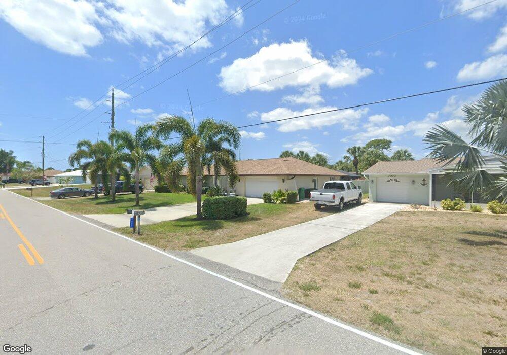
3085 Rock Creek Dr Port Charlotte, FL 33948
Estimated Value: $323,000 - $457,000
3
Beds
3
Baths
2,078
Sq Ft
$177/Sq Ft
Est. Value
About This Home
This home is located at 3085 Rock Creek Dr, Port Charlotte, FL 33948 and is currently estimated at $368,655, approximately $177 per square foot. 3085 Rock Creek Dr is a home located in Charlotte County with nearby schools including Meadow Park Elementary School, Murdock Middle School, and Port Charlotte High School.
Ownership History
Date
Name
Owned For
Owner Type
Purchase Details
Closed on
Feb 23, 2022
Sold by
Bolen Gerhard N and Bolen Julia M
Bought by
Gerhard N Bolen Trust
Current Estimated Value
Purchase Details
Closed on
Jun 25, 2007
Sold by
Buffmire James A
Bought by
Bolen Gerhard N
Home Financials for this Owner
Home Financials are based on the most recent Mortgage that was taken out on this home.
Original Mortgage
$212,036
Interest Rate
6.35%
Mortgage Type
Purchase Money Mortgage
Create a Home Valuation Report for This Property
The Home Valuation Report is an in-depth analysis detailing your home's value as well as a comparison with similar homes in the area
Home Values in the Area
Average Home Value in this Area
Purchase History
| Date | Buyer | Sale Price | Title Company |
|---|---|---|---|
| Gerhard N Bolen Trust | -- | None Listed On Document | |
| Bolen Gerhard N | $111,600 | Coastal Security Title Inc | |
| Bolen Gerhard N | $111,600 | Coastal Security Title Inc |
Source: Public Records
Mortgage History
| Date | Status | Borrower | Loan Amount |
|---|---|---|---|
| Previous Owner | Bolen Gerhard N | $212,036 |
Source: Public Records
Tax History Compared to Growth
Tax History
| Year | Tax Paid | Tax Assessment Tax Assessment Total Assessment is a certain percentage of the fair market value that is determined by local assessors to be the total taxable value of land and additions on the property. | Land | Improvement |
|---|---|---|---|---|
| 2023 | $2,986 | $182,850 | $0 | $0 |
| 2022 | $2,875 | $177,524 | $0 | $0 |
| 2021 | $2,869 | $172,353 | $0 | $0 |
| 2020 | $2,815 | $169,973 | $0 | $0 |
| 2019 | $2,716 | $166,152 | $0 | $0 |
| 2018 | $2,506 | $163,054 | $0 | $0 |
| 2017 | $2,396 | $154,476 | $0 | $0 |
| 2016 | $2,381 | $151,299 | $0 | $0 |
| 2015 | $2,377 | $150,247 | $0 | $0 |
| 2014 | $2,348 | $149,055 | $0 | $0 |
Source: Public Records
Map
Nearby Homes
- 1280 Eden Ave
- 1256 Eden Ave
- 1272 Eden Ave
- 1285 Barton Ave
- 18510 Ellen Ave
- 3038 Yukon Dr
- 18503 Ellen Ave
- 18512 Blair Ave
- 3069 Pellam Blvd
- 18422 Oxford Ave
- 3197 Pellam Blvd
- 1174 Victoria Ave
- 1193 Victoria Ave
- 3157 Pellam Blvd
- 2128 Pellam Blvd
- 18327 Elgin Ave
- 18423 Temple Ave
- 18414 Avon Ave
- 18406 Avon Ave
- 18334 Oxford Ave
- 3093 Rock Creek Dr
- 3077 Rock Creek Dr
- 3069 Rock Creek Dr
- 3101 Rock Creek Dr
- 3086 Rock Creek Dr
- 1288 Eden Ave
- 3061 Rock Creek Dr
- 1298 Armsdale Ave
- 1281 Armsdale Ave
- 3109 Rock Creek Dr
- 3086 Yukon Dr
- 3094 Yukon Dr
- 1288 Armsdale Ave
- 3078 Yukon Dr
- 3102 Yukon Dr
- 3053 Rock Creek Dr
- 3070 Yukon Dr
- 1288 Avenue
- 3117 Rock Creek Dr
- 3118 Yukon Dr