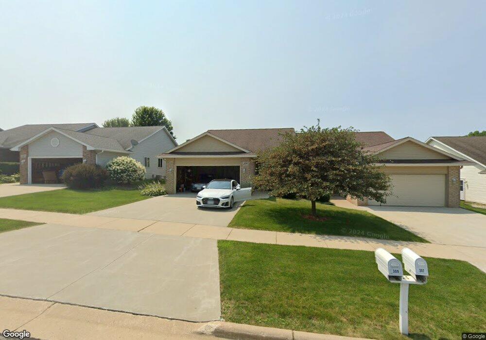
309 Lauren Ln Watertown, WI 53094
Estimated Value: $274,637 - $300,000
3
Beds
2
Baths
1,376
Sq Ft
$209/Sq Ft
Est. Value
About This Home
This home is located at 309 Lauren Ln, Watertown, WI 53094 and is currently estimated at $286,909, approximately $208 per square foot. 309 Lauren Ln is a home located in Jefferson County with nearby schools including Watertown High School, eCampus Academy Charter School, and Trinity-St. Luke's Lutheran Elementary School.
Ownership History
Date
Name
Owned For
Owner Type
Purchase Details
Closed on
Sep 22, 2014
Sold by
Koch Diane L
Bought by
Koch Deanna J and Diane L Koch Irrevocable Trust
Current Estimated Value
Purchase Details
Closed on
Aug 14, 2009
Sold by
Ellis Killmon Karen C and Shirley Boyle Ellis T
Bought by
Koch Dean E and Koch Diane L
Home Financials for this Owner
Home Financials are based on the most recent Mortgage that was taken out on this home.
Original Mortgage
$80,000
Interest Rate
5.29%
Mortgage Type
New Conventional
Purchase Details
Closed on
Nov 1, 2005
Sold by
Lauren Lane Llc
Bought by
Ellis Bennie D and Boyle Ellis T Shirley
Home Financials for this Owner
Home Financials are based on the most recent Mortgage that was taken out on this home.
Original Mortgage
$127,920
Interest Rate
5.87%
Mortgage Type
Adjustable Rate Mortgage/ARM
Create a Home Valuation Report for This Property
The Home Valuation Report is an in-depth analysis detailing your home's value as well as a comparison with similar homes in the area
Home Values in the Area
Average Home Value in this Area
Purchase History
| Date | Buyer | Sale Price | Title Company |
|---|---|---|---|
| Koch Deanna J | -- | None Available | |
| Koch Dean E | $153,100 | None Available | |
| Koch Dean E | $153,100 | None Available | |
| Ellis Bennie D | $160,200 | None Available |
Source: Public Records
Mortgage History
| Date | Status | Borrower | Loan Amount |
|---|---|---|---|
| Previous Owner | Koch Dean E | $80,000 | |
| Previous Owner | Ellis Bennie D | $127,920 |
Source: Public Records
Tax History Compared to Growth
Tax History
| Year | Tax Paid | Tax Assessment Tax Assessment Total Assessment is a certain percentage of the fair market value that is determined by local assessors to be the total taxable value of land and additions on the property. | Land | Improvement |
|---|---|---|---|---|
| 2024 | $3,517 | $236,500 | $20,000 | $216,500 |
| 2023 | $3,239 | $195,300 | $20,000 | $175,300 |
| 2022 | $3,264 | $195,300 | $20,000 | $175,300 |
| 2021 | $3,674 | $153,000 | $20,000 | $133,000 |
| 2020 | $3,709 | $153,000 | $20,000 | $133,000 |
| 2019 | $3,599 | $153,000 | $20,000 | $133,000 |
| 2018 | $3,520 | $153,000 | $20,000 | $133,000 |
| 2017 | $3,383 | $153,000 | $20,000 | $133,000 |
| 2016 | $3,333 | $153,000 | $20,000 | $133,000 |
| 2015 | $3,404 | $153,000 | $20,000 | $133,000 |
| 2014 | $3,451 | $153,000 | $20,000 | $133,000 |
| 2013 | $3,515 | $153,000 | $20,000 | $133,000 |
Source: Public Records
Map
Nearby Homes
- Lt0 Gateway Dr
- 908 Franklin St
- 1507 S 10th St
- 1418 S 9th St
- 1330 S 10th St
- 409 Humboldt St Unit 1
- 1313 Utah St
- 1314 Waldron St
- 1215 Utah St
- 1025 Richards Ave
- 225 E Haven Dr Unit B
- 1402 Richards Ave
- 131 Cedar Ct
- 625 S 12th St
- 623 S 12th St
- 758 Johnson St
- 750 Johnson St
- The Saybrook Plan at Rock River Ridge
- The Atwater Plan at Rock River Ridge
- The Hudson Plan at Rock River Ridge