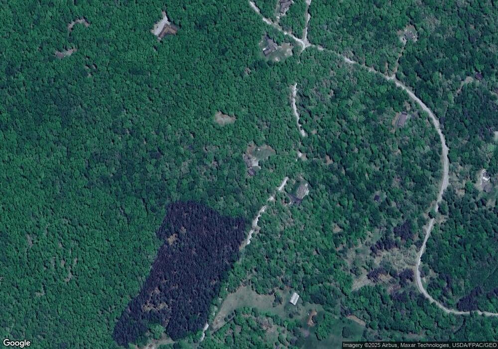
3097 Sanders Ln Oakland, MD 21550
Estimated Value: $395,000 - $552,000
--
Bed
3
Baths
1,734
Sq Ft
$253/Sq Ft
Est. Value
About This Home
This home is located at 3097 Sanders Ln, Oakland, MD 21550 and is currently estimated at $438,366, approximately $252 per square foot. 3097 Sanders Ln is a home located in Garrett County with nearby schools including Crellin Elementary School, Southern Middle School, and Southern Garrett High School.
Ownership History
Date
Name
Owned For
Owner Type
Purchase Details
Closed on
Dec 20, 2013
Sold by
Logsdon Michael L and Logsdon Margaret R
Bought by
Logsdon Michael L
Current Estimated Value
Home Financials for this Owner
Home Financials are based on the most recent Mortgage that was taken out on this home.
Original Mortgage
$181,000
Outstanding Balance
$49,492
Interest Rate
4.24%
Mortgage Type
New Conventional
Estimated Equity
$388,874
Purchase Details
Closed on
Sep 24, 1990
Sold by
Learey Fred K
Bought by
Logsdon Michael L and Logsdon Margaret R
Create a Home Valuation Report for This Property
The Home Valuation Report is an in-depth analysis detailing your home's value as well as a comparison with similar homes in the area
Home Values in the Area
Average Home Value in this Area
Purchase History
| Date | Buyer | Sale Price | Title Company |
|---|---|---|---|
| Logsdon Michael L | -- | None Available | |
| Logsdon Michael L | $9,000 | -- |
Source: Public Records
Mortgage History
| Date | Status | Borrower | Loan Amount |
|---|---|---|---|
| Open | Logsdon Michael L | $181,000 |
Source: Public Records
Tax History Compared to Growth
Tax History
| Year | Tax Paid | Tax Assessment Tax Assessment Total Assessment is a certain percentage of the fair market value that is determined by local assessors to be the total taxable value of land and additions on the property. | Land | Improvement |
|---|---|---|---|---|
| 2025 | $2,642 | $273,600 | $56,700 | $216,900 |
| 2024 | $2,612 | $249,867 | $0 | $0 |
| 2023 | $2,504 | $226,133 | $0 | $0 |
| 2022 | $2,362 | $202,400 | $49,400 | $153,000 |
| 2021 | $2,266 | $201,533 | $0 | $0 |
| 2020 | $2,175 | $200,667 | $0 | $0 |
| 2019 | $2,088 | $199,800 | $49,400 | $150,400 |
| 2018 | $1,896 | $199,800 | $49,400 | $150,400 |
| 2017 | $1,823 | $199,800 | $0 | $0 |
| 2016 | -- | $204,800 | $0 | $0 |
| 2015 | -- | $204,800 | $0 | $0 |
| 2014 | -- | $204,800 | $0 | $0 |
Source: Public Records
Map
Nearby Homes
- 153 Windflower Dr
- 134 Windflower Dr
- 10 Aster Dr
- Lot 175 Aster Dr
- 1218 E Alpine Dr
- 1471 E Alpine Dr
- 6 Sorrel Ct
- 88 Goldenrod Dr
- Lot 225 Woodbine Dr
- 222 Woodbine Dr
- TBD E Alpine Dr
- 94 E Alpine Dr
- Lot 34 E Alpine Dr
- Lots 20, 21, 22 Greenbrier Ln
- 100 Ginger Ct
- Lot 87 Ginger Ct
- 1 Ginger Ct
- 97 Daylily Ct
- 47 Daylily Ct
- Lots 41 and 42 Daylily Ct
- 3096 Sanders Ln
- 37 Sassafrass Trail
- 250 Koshare Ln
- 2896 Sanders Ln
- 165 Sassafrass Trail
- 152 Kashare Ln
- 29 Big Rock Cabin Rd
- Lot 27 Koshare Ln
- 115 Kashare Ln
- 285 Sassafrass Trail
- 0 Minnetoska Lake Sub Unit MDGA130928
- 2865 Sanders Ln
- 247 Kashare Ln
- 171 Kashare Ln
- 250 Sassafrass Trail
- 209 Kashare Ln
- 226 Big Rock Cabin Rd
- 1906 Sanders Ln
- 300 Big Rock Cabin Rd
- 534 Kashare Ln
