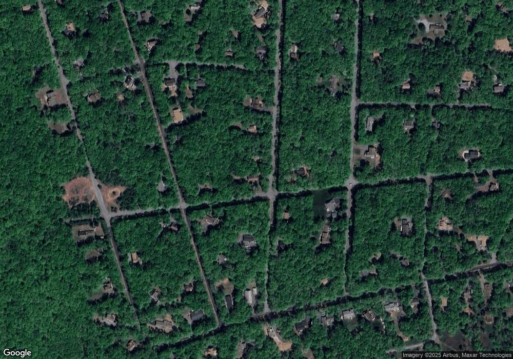
31 Emerson Dr Albrightsville, PA 18210
Estimated Value: $361,000 - $413,514
5
Beds
3
Baths
3,194
Sq Ft
$122/Sq Ft
Est. Value
About This Home
This home is located at 31 Emerson Dr, Albrightsville, PA 18210 and is currently estimated at $390,129, approximately $122 per square foot. 31 Emerson Dr is a home located in Carbon County with nearby schools including Jim Thorpe Area High School.
Ownership History
Date
Name
Owned For
Owner Type
Purchase Details
Closed on
Dec 3, 2015
Sold by
Volt Asset Holdings Trust Xvi
Bought by
Kovacs Laszlo
Current Estimated Value
Purchase Details
Closed on
Nov 3, 2015
Sold by
Layden Thomas J and Layden Clare A
Bought by
Volt Asset Holdings Trust Xvi
Purchase Details
Closed on
Jul 24, 2000
Bought by
Layden Thomas J and Layden Clare A
Create a Home Valuation Report for This Property
The Home Valuation Report is an in-depth analysis detailing your home's value as well as a comparison with similar homes in the area
Home Values in the Area
Average Home Value in this Area
Purchase History
| Date | Buyer | Sale Price | Title Company |
|---|---|---|---|
| Kovacs Laszlo | $93,000 | Attorney | |
| Volt Asset Holdings Trust Xvi | $1,045 | None Available | |
| Layden Thomas J | $11,000 | -- |
Source: Public Records
Tax History Compared to Growth
Tax History
| Year | Tax Paid | Tax Assessment Tax Assessment Total Assessment is a certain percentage of the fair market value that is determined by local assessors to be the total taxable value of land and additions on the property. | Land | Improvement |
|---|---|---|---|---|
| 2025 | $4,020 | $65,350 | $4,250 | $61,100 |
| 2024 | $3,824 | $65,350 | $4,250 | $61,100 |
| 2023 | $3,775 | $65,350 | $4,250 | $61,100 |
| 2022 | $4,610 | $79,800 | $4,250 | $75,550 |
| 2021 | $4,610 | $79,800 | $4,250 | $75,550 |
| 2020 | $4,610 | $79,800 | $4,250 | $75,550 |
| 2019 | $4,450 | $79,800 | $4,250 | $75,550 |
| 2018 | $4,450 | $79,800 | $4,250 | $75,550 |
| 2017 | $4,450 | $79,800 | $4,250 | $75,550 |
| 2016 | -- | $79,800 | $4,250 | $75,550 |
| 2015 | -- | $79,800 | $4,250 | $75,550 |
| 2014 | -- | $79,800 | $4,250 | $75,550 |
Source: Public Records
Map
Nearby Homes
- FVI35 Kilmer Trail
- 0 Kilmer Trail Unit 757128
- 377 Kilmer Trail
- 171 Kilmer Trail
- 329 Kilmer Trail
- 435 Kilmer Trail
- 643 Stony Mountain Rd
- 558 Stony Mountain Rd
- 0 Burnshaw Ln Unit PM-121777
- 0 Burnshaw Ln Unit PACC2005512
- 0 Burnshaw Ln Unit 751829
- 607 Stony Mountain Rd
- 77 Lucretius Trail
- EV1529 Parker Trail
- EV1440 Gasse Glen
- B248 Lacewood Ln
- B243,B244 Lacewood Ln
- 97 Lucretius Trail
- B233 Mahogany Way
- C7 State Route 903
- 125 McKuen Way
- 126 McKuen & Emerson Way
- 35 Emerson Dr
- 23 McKuen Way
- 41 Emerson Dr
- 24 Seeger Path
- 32 Emerson Dr
- 40 Emerson Dr
- 15 Emerson Dr
- 18 Emerson Dr
- 46 Seegar Path
- V1122 Emerson Ln
- 47 Emerson Dr
- 46 Seeger Path
- 16 Seeger Path
- FVI 135 Emerson Dr
- 186 Emerson Dr
- C-1530 Emerson Dr
- 168 Emerson Dr
- 187 Emerson Dr
