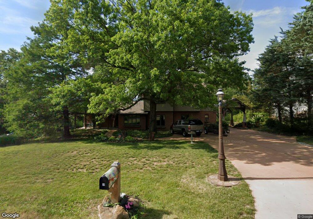
31 Lemp Rd Saint Louis, MO 63122
Estimated Value: $680,000 - $1,027,000
4
Beds
3
Baths
4,230
Sq Ft
$207/Sq Ft
Est. Value
About This Home
This home is located at 31 Lemp Rd, Saint Louis, MO 63122 and is currently estimated at $877,597, approximately $207 per square foot. 31 Lemp Rd is a home located in St. Louis County with nearby schools including Crestwood Elementary School, Truman Middle School, and Lindbergh High School.
Ownership History
Date
Name
Owned For
Owner Type
Purchase Details
Closed on
Jun 11, 1999
Sold by
Ingeborg Wurr
Bought by
Murray Louis and Murray Coleen
Current Estimated Value
Home Financials for this Owner
Home Financials are based on the most recent Mortgage that was taken out on this home.
Original Mortgage
$277,760
Interest Rate
7.02%
Purchase Details
Closed on
Jan 3, 1997
Sold by
Wurr Dieter H and Wurr Ingeborg H
Bought by
Wurr Ingeborg H and Ingeborg H Wurr Revocable Trust
Create a Home Valuation Report for This Property
The Home Valuation Report is an in-depth analysis detailing your home's value as well as a comparison with similar homes in the area
Home Values in the Area
Average Home Value in this Area
Purchase History
| Date | Buyer | Sale Price | Title Company |
|---|---|---|---|
| Murray Louis | $280,000 | -- | |
| Wurr Ingeborg H | -- | -- | |
| Wurr Ingeborg | -- | -- | |
| Wurr Ingeborg H | -- | -- |
Source: Public Records
Mortgage History
| Date | Status | Borrower | Loan Amount |
|---|---|---|---|
| Closed | Murray Louis | $277,760 |
Source: Public Records
Tax History Compared to Growth
Tax History
| Year | Tax Paid | Tax Assessment Tax Assessment Total Assessment is a certain percentage of the fair market value that is determined by local assessors to be the total taxable value of land and additions on the property. | Land | Improvement |
|---|---|---|---|---|
| 2025 | $7,857 | $192,620 | $107,880 | $84,740 |
| 2024 | $7,857 | $126,650 | $78,830 | $47,820 |
| 2023 | $7,733 | $126,650 | $78,830 | $47,820 |
| 2022 | $8,364 | $127,840 | $86,720 | $41,120 |
| 2021 | $8,254 | $127,840 | $86,720 | $41,120 |
| 2020 | $8,376 | $124,760 | $68,990 | $55,770 |
| 2019 | $8,463 | $124,760 | $68,990 | $55,770 |
| 2018 | $7,536 | $98,080 | $40,640 | $57,440 |
| 2017 | $7,526 | $98,080 | $40,640 | $57,440 |
| 2016 | $7,056 | $92,660 | $36,840 | $55,820 |
| 2015 | $6,971 | $92,660 | $36,840 | $55,820 |
| 2014 | $7,138 | $92,820 | $18,070 | $74,750 |
Source: Public Records
Map
Nearby Homes
- 1889 N Signal Hills Dr
- 11922 Big Bend Rd
- 1264 Wilton Ln
- 1010 Station Bend Ln
- 1016 Forest Ave
- 52 Tbb Ponca Trail
- 726 S Ballas Rd
- 1001 Barberry Ln
- 1 Boxwood Ln
- 680 Craigwoods Dr
- 1053 Geyer Grove Unit 9
- 36 Ponca Trail
- 40 Ponca Trail
- 602 S Ballas Rd
- 1211 S Geyer Rd
- 128 Sweetbriar Ln
- 56 Ponca Trail
- 1920 Hunting Lake Ct Unit 202
- 12685 Alberts Laumeier Ct
- 514 Coulter Ave