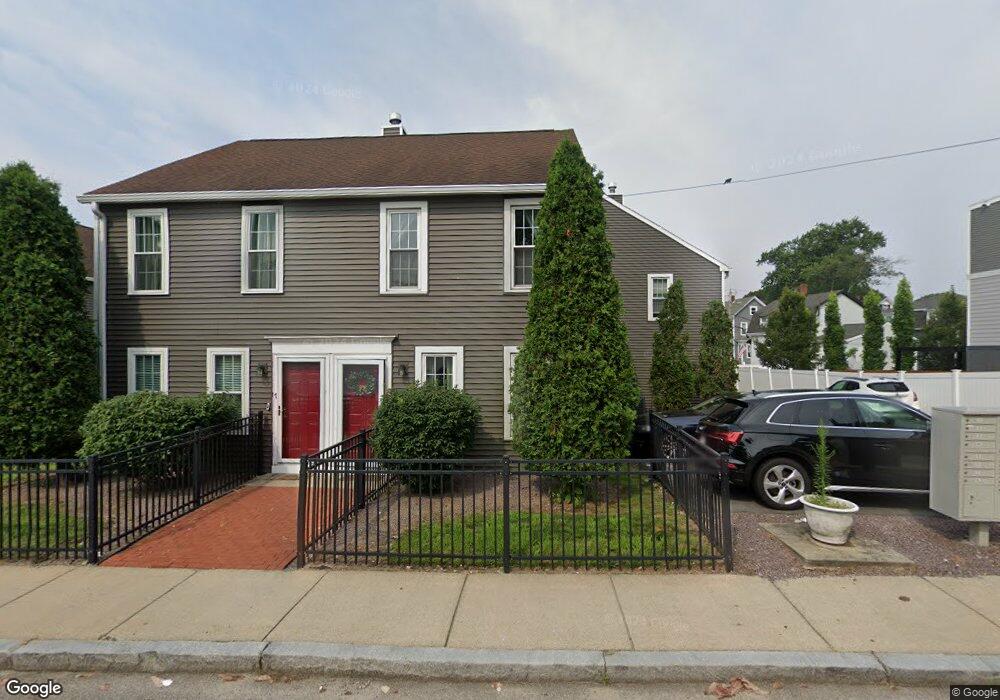
31 Wenlock Rd Dorchester, MA 02122
Lower Mills NeighborhoodEstimated Value: $580,195 - $729,000
2
Beds
2
Baths
1,208
Sq Ft
$530/Sq Ft
Est. Value
About This Home
This home is located at 31 Wenlock Rd, Dorchester, MA 02122 and is currently estimated at $640,049, approximately $529 per square foot. 31 Wenlock Rd is a home located in Suffolk County with nearby schools including Neighborhood House Charter School, Conservatory Lab Upper School, and St Brendan School.
Ownership History
Date
Name
Owned For
Owner Type
Purchase Details
Closed on
Sep 12, 2024
Sold by
Grimes Rita A
Bought by
Wenlock Road Rt and Michelson-Fleming
Current Estimated Value
Purchase Details
Closed on
Aug 5, 1991
Sold by
Harrigan Mark F and Harrigan Joan M
Bought by
Grimes Rita A
Home Financials for this Owner
Home Financials are based on the most recent Mortgage that was taken out on this home.
Original Mortgage
$100,000
Interest Rate
9.58%
Mortgage Type
Purchase Money Mortgage
Create a Home Valuation Report for This Property
The Home Valuation Report is an in-depth analysis detailing your home's value as well as a comparison with similar homes in the area
Home Values in the Area
Average Home Value in this Area
Purchase History
| Date | Buyer | Sale Price | Title Company |
|---|---|---|---|
| Wenlock Road Rt | -- | None Available | |
| Wenlock Road Rt | -- | None Available | |
| Grimes Rita A | $125,000 | -- | |
| Grimes Rita A | $125,000 | -- |
Source: Public Records
Mortgage History
| Date | Status | Borrower | Loan Amount |
|---|---|---|---|
| Previous Owner | Grimes Rita A | $100,000 |
Source: Public Records
Tax History Compared to Growth
Tax History
| Year | Tax Paid | Tax Assessment Tax Assessment Total Assessment is a certain percentage of the fair market value that is determined by local assessors to be the total taxable value of land and additions on the property. | Land | Improvement |
|---|---|---|---|---|
| 2025 | $5,628 | $486,000 | $0 | $486,000 |
| 2024 | $5,005 | $459,200 | $0 | $459,200 |
| 2023 | $4,559 | $424,500 | $0 | $424,500 |
| 2022 | $4,356 | $400,400 | $0 | $400,400 |
| 2021 | $4,147 | $388,700 | $0 | $388,700 |
| 2020 | $3,500 | $331,400 | $0 | $331,400 |
| 2019 | $3,294 | $312,500 | $0 | $312,500 |
| 2018 | $3,033 | $289,400 | $0 | $289,400 |
| 2017 | $2,373 | $224,100 | $0 | $224,100 |
| 2016 | $2,303 | $209,400 | $0 | $209,400 |
| 2015 | $2,607 | $215,300 | $0 | $215,300 |
| 2014 | $2,485 | $197,500 | $0 | $197,500 |
Source: Public Records
Map
Nearby Homes
- 103 Minot St
- 107 Minot St
- 45 Chickatawbut St Unit 1
- 43 Chickatawbut St
- 22 Chickatawbut St Unit 2
- 140 Minot St
- 378 Neponset Ave
- 400-412 Neponset Ave
- 51 Coffey St Unit 51C
- 61 Hill Top St
- 56 Coffey St Unit 10
- 701 Adams St Unit 9
- 102 Milton St
- 8 Mckone St
- 118-120 Granite Ave Unit 2
- 33 Westmoreland St
- 37 Westmoreland St
- 36 Mckone St Unit 2
- 36 Mckone St
- 36 Mckone St Unit 1
- 45 Wenlock Rd
- 43 Wenlock Rd
- 41 Wenlock Rd
- 39 Wenlock Rd
- 33 Wenlock Rd
- 27 Wenlock Rd
- 25 Wenlock Rd
- 23 Wenlock Rd
- 15 Wenlock Rd
- 41 Wenlock Rd Unit 41
- 43 Wenlock Rd Unit 43
- 37 Wenlock Rd
- 35 Wenlock Rd
- 29 Wenlock Rd
- 21 Wenlock Rd
- 19 Wenlock Rd
- 17 Wenlock Rd
- 29 Wenlock Rd Unit 29,29
- 29 Wenlock Rd Unit 29
- 13 Wenlock Rd