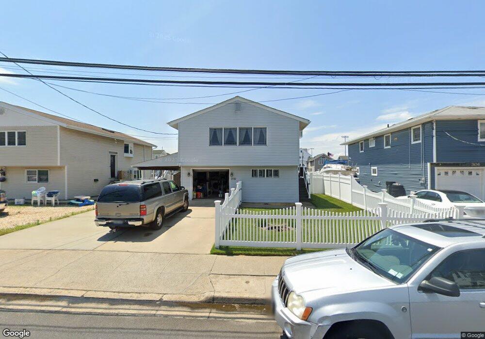
310 Arthur St Freeport, NY 11520
Estimated Value: $592,152 - $740,000
--
Bed
2
Baths
1,080
Sq Ft
$617/Sq Ft
Est. Value
About This Home
This home is located at 310 Arthur St, Freeport, NY 11520 and is currently estimated at $666,076, approximately $616 per square foot. 310 Arthur St is a home located in Nassau County with nearby schools including Columbus Avenue School, Caroline G. Atkinson Intermediate School, and John W Dodd Middle School.
Ownership History
Date
Name
Owned For
Owner Type
Purchase Details
Closed on
Nov 9, 1999
Sold by
Repole Daniel V and Repole Dulcie M
Bought by
Carman Douglas and Carman Teresa
Current Estimated Value
Home Financials for this Owner
Home Financials are based on the most recent Mortgage that was taken out on this home.
Original Mortgage
$150,000
Outstanding Balance
$45,864
Interest Rate
7.77%
Mortgage Type
Purchase Money Mortgage
Estimated Equity
$620,212
Create a Home Valuation Report for This Property
The Home Valuation Report is an in-depth analysis detailing your home's value as well as a comparison with similar homes in the area
Home Values in the Area
Average Home Value in this Area
Purchase History
| Date | Buyer | Sale Price | Title Company |
|---|---|---|---|
| Carman Douglas | $200,000 | Fidelity National Title Ins |
Source: Public Records
Mortgage History
| Date | Status | Borrower | Loan Amount |
|---|---|---|---|
| Open | Carman Douglas | $150,000 |
Source: Public Records
Tax History Compared to Growth
Tax History
| Year | Tax Paid | Tax Assessment Tax Assessment Total Assessment is a certain percentage of the fair market value that is determined by local assessors to be the total taxable value of land and additions on the property. | Land | Improvement |
|---|---|---|---|---|
| 2025 | $7,534 | $391 | $147 | $244 |
| 2024 | $843 | $400 | $151 | $249 |
| 2023 | $6,472 | $406 | $153 | $253 |
| 2022 | $6,472 | $406 | $153 | $253 |
| 2021 | $8,662 | $407 | $153 | $254 |
| 2020 | $5,692 | $413 | $412 | $1 |
| 2019 | $4,739 | $442 | $441 | $1 |
| 2018 | $4,964 | $472 | $0 | $0 |
| 2017 | $4,629 | $501 | $500 | $1 |
| 2016 | $5,381 | $543 | $432 | $111 |
| 2015 | $826 | $572 | $455 | $117 |
| 2014 | $826 | $572 | $455 | $117 |
| 2013 | $1,041 | $763 | $607 | $156 |
Source: Public Records
Map
Nearby Homes
- 356 Arthur St
- 335 Arthur St
- 243 Sportsmans Ave
- 121a Garfield St
- 208 Sportsmans Ave
- 193 Sportsmans Ave
- 177 Sportsmans Ave
- 142 Gordon Place
- 252 Arthur St
- 121 Garfield St
- 125 Garfield St
- 308 Bedell St
- 494 S Ocean Ave Unit 1H
- 494 S Ocean Ave Unit 3A
- 34 W 2nd St
- 43 Layton St
- 120 Sportsmans Ave
- 536 S Ocean Ave
- 570 S Ocean Ave
- 310 Miller Ave
- 306 Arthur St
- 314 Arthur St
- 302 Arthur St
- 332 Arthur St
- 307 Arthur St
- 315 Arthur St
- 294 Arthur St
- 221 Sportsmans Ave
- 301 Arthur St
- 231 Sportsmans Ave
- 321 Arthur St
- 354 Arthur St
- 219 Sportsmans Ave
- 219 Sportsmans Ave
- 299 Arthur St
- 233 Sportsmans Ave
- 323 Arthur St
- 295 Arthur St
- 211 Sportsmans Ave
- 235 Sportsmans Ave