310 Dean Rd Centreville, MD 21617
Estimated Value: $406,000 - $1,173,000
--
Bed
2
Baths
1,984
Sq Ft
$381/Sq Ft
Est. Value
About This Home
This home is located at 310 Dean Rd, Centreville, MD 21617 and is currently estimated at $756,606, approximately $381 per square foot. 310 Dean Rd is a home located in Queen Anne's County with nearby schools including Centreville Elementary School, Kennard Elementary School, and Centreville Middle School.
Ownership History
Date
Name
Owned For
Owner Type
Purchase Details
Closed on
Jan 31, 2020
Sold by
Lueders Kathleen Leaverton and Leaverton David Franklin
Bought by
Denny W Walter W and Denny Ellen M
Current Estimated Value
Home Financials for this Owner
Home Financials are based on the most recent Mortgage that was taken out on this home.
Original Mortgage
$800,000
Outstanding Balance
$710,219
Interest Rate
3.74%
Mortgage Type
Amount Keyed Is An Aggregate Amount
Estimated Equity
$46,387
Purchase Details
Closed on
Dec 19, 2011
Sold by
Leaverton David Franklin and Leaverton Elva Louise
Bought by
Lueders Kathleen Leaverton
Create a Home Valuation Report for This Property
The Home Valuation Report is an in-depth analysis detailing your home's value as well as a comparison with similar homes in the area
Home Values in the Area
Average Home Value in this Area
Purchase History
| Date | Buyer | Sale Price | Title Company |
|---|---|---|---|
| Denny W Walter W | $800,000 | None Available | |
| Lueders Kathleen Leaverton | -- | None Available |
Source: Public Records
Mortgage History
| Date | Status | Borrower | Loan Amount |
|---|---|---|---|
| Open | Denny W Walter W | $800,000 |
Source: Public Records
Tax History Compared to Growth
Tax History
| Year | Tax Paid | Tax Assessment Tax Assessment Total Assessment is a certain percentage of the fair market value that is determined by local assessors to be the total taxable value of land and additions on the property. | Land | Improvement |
|---|---|---|---|---|
| 2025 | $3,140 | $327,000 | $99,700 | $227,300 |
| 2024 | $3,026 | $314,833 | $0 | $0 |
| 2023 | $2,911 | $302,667 | $0 | $0 |
| 2022 | $2,797 | $290,500 | $109,700 | $180,800 |
| 2021 | $2,773 | $282,867 | $0 | $0 |
| 2020 | $2,700 | $275,233 | $0 | $0 |
| 2019 | $2,567 | $267,600 | $109,700 | $157,900 |
| 2018 | $2,567 | $267,600 | $109,700 | $157,900 |
| 2017 | $2,674 | $267,600 | $0 | $0 |
| 2016 | -- | $272,500 | $0 | $0 |
| 2015 | $2,783 | $272,500 | $0 | $0 |
| 2014 | $2,783 | $272,500 | $0 | $0 |
Source: Public Records
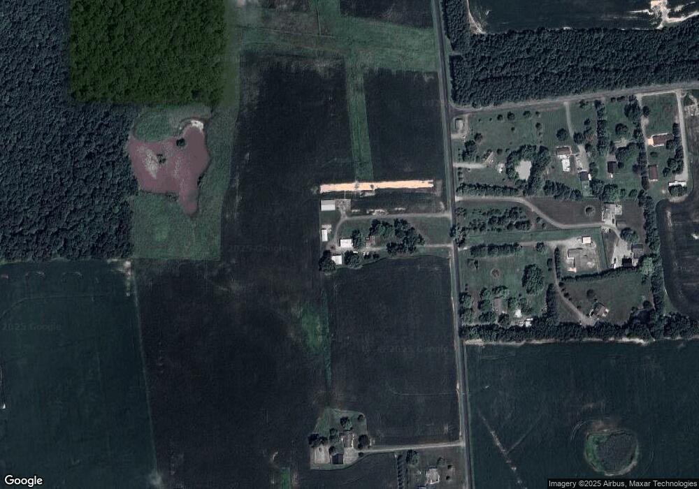
Map
Nearby Homes
- 129 Thicket Ct
- 107 Thicket Ct
- 219 Songbird Ln
- 116 Pasture Ct
- Merion Plan at Meadow Creek
- Windermere Plan at Meadow Creek
- Doral Plan at Meadow Creek
- Sawgrass Plan at Meadow Creek
- Pinehurst Plan at Meadow Creek
- Congressional Plan at Meadow Creek
- 415 Twin Meadows Farm Ln
- 325 Twin Meadows Farm Ln
- 104 Pasture Ct
- 113 Paulowina Rd
- 408 Laurens Way
- 112 Echo Ln
- 122 Lently Farm Ln
- 111 Pleasant Springs Dr
- 217 Austin Ct
- 121 Little Eagle Rd