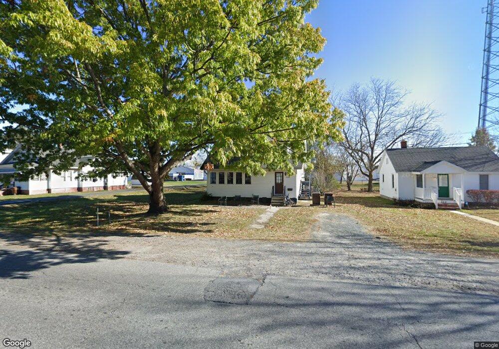
310 Dorchester Ave Cambridge, MD 21613
Estimated Value: $145,000 - $221,000
--
Bed
2
Baths
1,282
Sq Ft
$143/Sq Ft
Est. Value
About This Home
This home is located at 310 Dorchester Ave, Cambridge, MD 21613 and is currently estimated at $183,700, approximately $143 per square foot. 310 Dorchester Ave is a home located in Dorchester County with nearby schools including Choptank Elementary School, Mace's Lane Middle School, and Cambridge-South Dorchester High School.
Ownership History
Date
Name
Owned For
Owner Type
Purchase Details
Closed on
Jun 20, 2007
Sold by
Shore Alliance For Independent
Bought by
Main Street Housing Inc
Current Estimated Value
Purchase Details
Closed on
Jun 6, 2007
Sold by
Shore Alliance For Independent
Bought by
Main Street Housing Inc and A Maryland Corporation
Purchase Details
Closed on
Apr 10, 2002
Sold by
Hansdak Suleman B and Hansdak Elizabeth
Bought by
Shore Alliance For Independent
Purchase Details
Closed on
Dec 21, 1984
Sold by
Rose Gertrude
Bought by
Hansdak Suleman B and Hansdak Elizabeth
Create a Home Valuation Report for This Property
The Home Valuation Report is an in-depth analysis detailing your home's value as well as a comparison with similar homes in the area
Home Values in the Area
Average Home Value in this Area
Purchase History
| Date | Buyer | Sale Price | Title Company |
|---|---|---|---|
| Main Street Housing Inc | -- | -- | |
| Main Street Housing Inc | -- | -- | |
| Shore Alliance For Independent | $70,000 | -- | |
| Hansdak Suleman B | $28,000 | -- |
Source: Public Records
Tax History Compared to Growth
Tax History
| Year | Tax Paid | Tax Assessment Tax Assessment Total Assessment is a certain percentage of the fair market value that is determined by local assessors to be the total taxable value of land and additions on the property. | Land | Improvement |
|---|---|---|---|---|
| 2025 | -- | $101,100 | $31,600 | $69,500 |
| 2024 | -- | $93,900 | $0 | $0 |
| 2023 | -- | $86,700 | $0 | $0 |
| 2022 | $884 | $79,500 | $31,600 | $47,900 |
| 2021 | $737 | $79,000 | $0 | $0 |
| 2020 | -- | $78,500 | $0 | $0 |
| 2019 | -- | $78,000 | $31,600 | $46,400 |
| 2018 | $737 | $78,000 | $31,600 | $46,400 |
| 2017 | $737 | $78,000 | $0 | $0 |
| 2016 | -- | $86,300 | $0 | $0 |
| 2015 | -- | $86,300 | $0 | $0 |
| 2014 | -- | $86,300 | $0 | $0 |
Source: Public Records
Map
Nearby Homes
- 301 Dorchester Ave
- 340 Shipyard Dr
- 322 Shipyard Dr Unit 82
- 603 Roslyn Ave
- 317 Shipyard Dr Unit 67
- 413 Waterfield Ct
- 311 Riverside Ln
- 519 Seaway Ln Unit 157
- 510 Marshy Cove
- 900 Marshy Cove
- 900 Marshy Cove
- 900 Marshy Cove
- 107 Rambler Rd
- 6 Riverside Wharf
- 2 Riverside Wharf
- 10 Riverside Wharf
- 700 Cattail Cove Unit 302
- 700 Cattail Cove
- 26 Riverside Wharf
- 206 Maryland Ave
- 312 Dorchester Ave
- 306 Dorchester Ave
- 304 Dorchester Ave
- 309 Sunburst Hwy Unit 29-27
- 309 Sunburst Hwy Unit 21
- 309 Sunburst Hwy Unit 3-1
- 309 Sunburst Hwy
- 302 Dorchester Ave
- 317 Dorchester Ave
- 315 Dorchester Ave
- 319 Dorchester Ave
- 313 Dorchester Ave
- 311 Dorchester Ave
- 315 Sunburst Hwy
- 305 Sunburst Hwy
- 309 Dorchester Ave
- 503 Roslyn Ave
- 505 Roslyn Ave
- 307 Dorchester Ave
- 325 Dorchester Ave