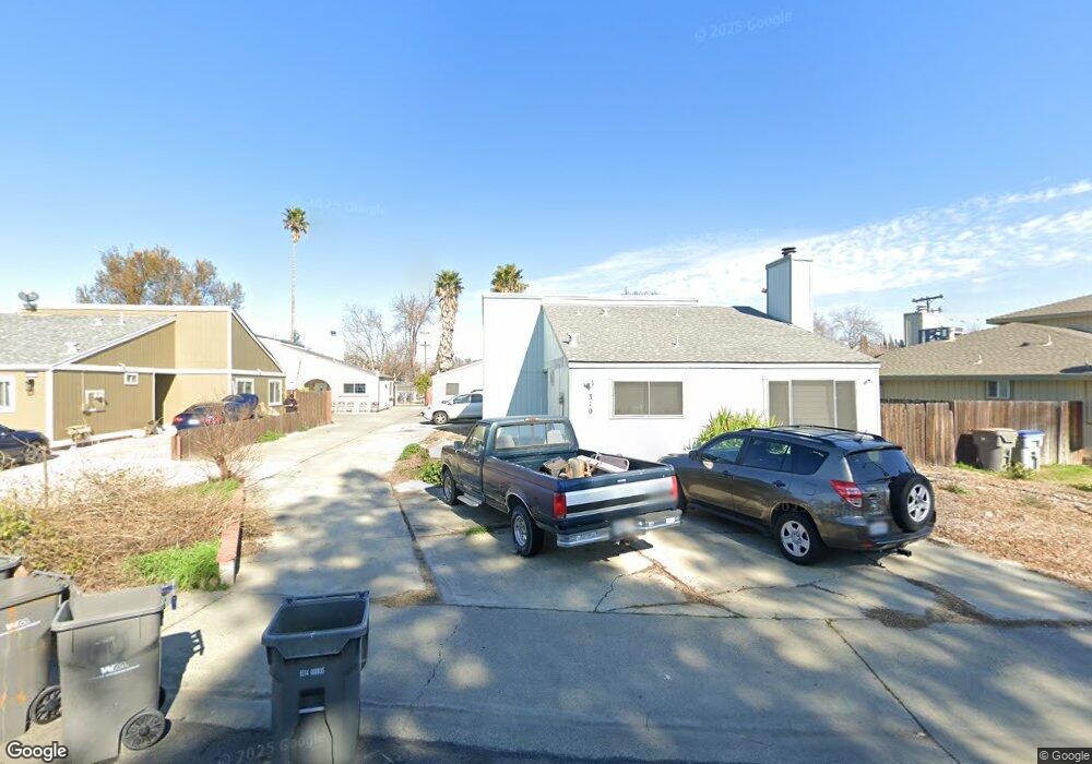
310 Riverside Dr Unit 312 Woodland, CA 95695
Estimated Value: $577,000 - $625,000
6
Beds
4
Baths
2,400
Sq Ft
$246/Sq Ft
Est. Value
About This Home
This home is located at 310 Riverside Dr Unit 312, Woodland, CA 95695 and is currently estimated at $590,197, approximately $245 per square foot. 310 Riverside Dr Unit 312 is a home located in Yolo County with nearby schools including Rhoda Maxwell Elementary School, Lee Middle School, and Woodland Senior High School.
Ownership History
Date
Name
Owned For
Owner Type
Purchase Details
Closed on
Oct 1, 2024
Sold by
Martinez Candi S
Bought by
Candi S Martinez Living Trust and Martinez
Current Estimated Value
Purchase Details
Closed on
Jan 24, 2014
Sold by
Schaupp Lee A
Bought by
Schaupp Lee A and Martinez Candi S
Purchase Details
Closed on
Jan 4, 2014
Sold by
Martinez Raul D
Bought by
Martinez Candi S
Purchase Details
Closed on
Nov 4, 1994
Sold by
Hahn Robert M and Wright Doris
Bought by
Schaupp Lee A
Home Financials for this Owner
Home Financials are based on the most recent Mortgage that was taken out on this home.
Original Mortgage
$105,000
Interest Rate
8.78%
Create a Home Valuation Report for This Property
The Home Valuation Report is an in-depth analysis detailing your home's value as well as a comparison with similar homes in the area
Home Values in the Area
Average Home Value in this Area
Purchase History
| Date | Buyer | Sale Price | Title Company |
|---|---|---|---|
| Candi S Martinez Living Trust | -- | None Listed On Document | |
| Schaupp Lee A | -- | None Available | |
| Martinez Candi S | -- | None Available | |
| Schaupp Lee A | $165,000 | Fidelity National Title Ins |
Source: Public Records
Mortgage History
| Date | Status | Borrower | Loan Amount |
|---|---|---|---|
| Previous Owner | Schaupp Lee A | $105,000 | |
| Closed | Schaupp Lee A | $8,000 |
Source: Public Records
Tax History Compared to Growth
Tax History
| Year | Tax Paid | Tax Assessment Tax Assessment Total Assessment is a certain percentage of the fair market value that is determined by local assessors to be the total taxable value of land and additions on the property. | Land | Improvement |
|---|---|---|---|---|
| 2025 | $3,679 | $277,114 | $109,164 | $167,950 |
| 2023 | $3,679 | $266,355 | $104,926 | $161,429 |
| 2022 | $3,302 | $261,133 | $102,869 | $158,264 |
| 2021 | $2,627 | $256,013 | $100,852 | $155,161 |
| 2020 | $3,098 | $253,389 | $99,818 | $153,571 |
| 2019 | $3,502 | $248,421 | $97,861 | $150,560 |
| 2018 | $2,512 | $243,551 | $95,943 | $147,608 |
| 2017 | $3,046 | $238,776 | $94,062 | $144,714 |
| 2016 | $3,223 | $234,095 | $92,218 | $141,877 |
| 2015 | $2,330 | $230,579 | $90,833 | $139,746 |
| 2014 | $2,330 | $226,063 | $89,054 | $137,009 |
Source: Public Records
Map
Nearby Homes
- 116 Imperial St
- 2 King Place
- 736 W Lincoln Ave Unit 138
- 6 Dawn Dr
- 805 W Lincoln Ave
- 23 Azure Place
- 0 Hwy 16 Unit 224027849
- 0 Hwy 16 Unit 225136544
- 517 Daniels St
- 737 Heather Ln
- 382 Bright Day Dr
- 956 W Cross St
- 742 W Cross St
- 56 W Elliot St Unit 61
- 147 W Woodland Ave
- 49 Antelope St
- 725 Fairview Dr
- 148 Glacier St
- 20 W Clover St
- 628 California St
- 316 Riverside Dr Unit 318
- 304 Riverside Dr
- 214 Ashley Ave
- 322 Riverside Dr
- 300 Riverside Dr Unit 218
- 300 Riverside Dr
- 206 Ashley Ave
- 328 Riverside Dr
- 305 Porter St
- 309 Porter St
- 330 Riverside Dr
- 313 Porter St
- 202 Ashley Ave
- 334 Riverside Dr
- 319 Porter St
- 293 Chestnut St
- 294 Riverside Dr
- 336 Riverside Dr
- 325 Porter St
- 205 Ashley Ave