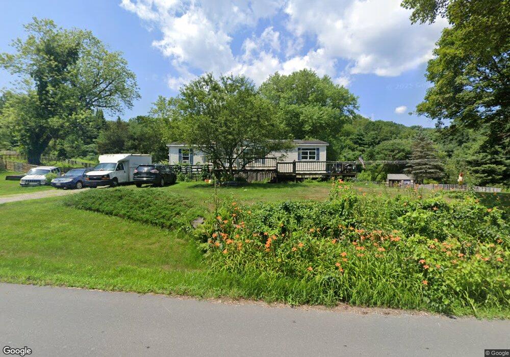
310 W Leyden Rd Colrain, MA 01340
Colrain NeighborhoodEstimated Value: $285,000 - $396,297
3
Beds
2
Baths
1,456
Sq Ft
$229/Sq Ft
Est. Value
About This Home
This home is located at 310 W Leyden Rd, Colrain, MA 01340 and is currently estimated at $332,824, approximately $228 per square foot. 310 W Leyden Rd is a home located in Franklin County with nearby schools including Mohawk Trail Regional High School.
Ownership History
Date
Name
Owned For
Owner Type
Purchase Details
Closed on
May 20, 2005
Sold by
Barrett Jeffrey J and Barrett Kathleen S
Bought by
Barrett Jessica J
Current Estimated Value
Home Financials for this Owner
Home Financials are based on the most recent Mortgage that was taken out on this home.
Original Mortgage
$110,000
Outstanding Balance
$57,759
Interest Rate
5.95%
Mortgage Type
Purchase Money Mortgage
Estimated Equity
$275,065
Create a Home Valuation Report for This Property
The Home Valuation Report is an in-depth analysis detailing your home's value as well as a comparison with similar homes in the area
Home Values in the Area
Average Home Value in this Area
Purchase History
| Date | Buyer | Sale Price | Title Company |
|---|---|---|---|
| Barrett Jessica J | $137,500 | -- |
Source: Public Records
Mortgage History
| Date | Status | Borrower | Loan Amount |
|---|---|---|---|
| Open | Barrett Jessica J | $110,000 |
Source: Public Records
Tax History Compared to Growth
Tax History
| Year | Tax Paid | Tax Assessment Tax Assessment Total Assessment is a certain percentage of the fair market value that is determined by local assessors to be the total taxable value of land and additions on the property. | Land | Improvement |
|---|---|---|---|---|
| 2025 | $4,600 | $251,900 | $44,400 | $207,500 |
| 2024 | $4,102 | $216,100 | $44,400 | $171,700 |
| 2023 | $3,981 | $202,800 | $43,800 | $159,000 |
| 2022 | $4,080 | $199,200 | $38,900 | $160,300 |
| 2021 | $3,887 | $183,700 | $37,700 | $146,000 |
| 2020 | $3,567 | $179,000 | $37,700 | $141,300 |
| 2019 | $3,546 | $172,400 | $37,700 | $134,700 |
| 2018 | $3,508 | $173,300 | $37,700 | $135,600 |
| 2017 | $3,432 | $174,200 | $37,700 | $136,500 |
| 2016 | $3,163 | $169,300 | $37,700 | $131,600 |
| 2015 | $3,081 | $170,300 | $37,700 | $132,600 |
Source: Public Records
Map
Nearby Homes
- 66 Reil Ln
- 295 Jacksonville Rd
- 319 Greenfield Rd
- 218 Greenfield Rd
- 3+5 Church St
- 0 Fiske Mill Rd
- 0 Jacksonville Rd
- 27 Lunt Dr
- 151 Smead Hill Rd
- 539 Fox Hill Rd
- 6036 Jacksonville Stage Rd
- Lot 9 Fox Hill Rd (Off)
- 83 Eden Trail Branch
- 1917 Stowe Mountain Rd
- 704 Brattleboro Rd
- 775 Brattleboro Rd
- 336 Plain Rd
- 61 Ed Clark Rd
- 56 Brattleboro Rd
- 75 South St Unit 3
- 300 W Leyden Rd
- 315 W Leyden Rd
- 322 W Leyden Rd
- 39 S Green River Rd
- 327 W Leyden Rd
- 290 W Leyden Rd
- 326 W Leyden Rd
- 333 W Leyden Rd
- 14 Avery Hill Rd
- 96 George Lamb Rd
- 0 Avery Hill Rd Unit 71596963
- 0 Avery Hill Rd Unit 72103057
- 0 Avery Hill Rd Unit 70690660
- 0 Avery Hill Rd Unit 70690641
- 4 Avery Hill Rd
- 16 Avery Hill Rd
- 31 Avery Hill Rd
- 341 W Leyden Rd
- 69 George Lamb Rd
- 73 S Green River Rd