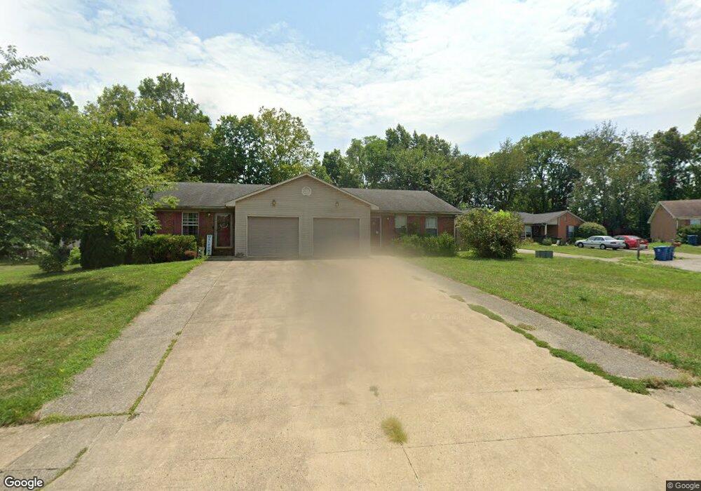
311 Humston Dr Unit 309 Lawrenceburg, KY 40342
Estimated Value: $222,000 - $319,000
--
Bed
--
Bath
2,326
Sq Ft
$109/Sq Ft
Est. Value
About This Home
This home is located at 311 Humston Dr Unit 309, Lawrenceburg, KY 40342 and is currently estimated at $253,416, approximately $108 per square foot. 311 Humston Dr Unit 309 is a home located in Anderson County with nearby schools including Saffell Street Elementary School, Anderson County Middle School, and Anderson County High School.
Ownership History
Date
Name
Owned For
Owner Type
Purchase Details
Closed on
Sep 15, 2023
Sold by
Dkv Development Llc
Bought by
6815 Klh Llc
Current Estimated Value
Purchase Details
Closed on
Jun 15, 2018
Sold by
Bentley Martin T
Bought by
Durr Rodney G and Durr Carla G
Home Financials for this Owner
Home Financials are based on the most recent Mortgage that was taken out on this home.
Original Mortgage
$90,000
Interest Rate
4.6%
Mortgage Type
New Conventional
Create a Home Valuation Report for This Property
The Home Valuation Report is an in-depth analysis detailing your home's value as well as a comparison with similar homes in the area
Home Values in the Area
Average Home Value in this Area
Purchase History
| Date | Buyer | Sale Price | Title Company |
|---|---|---|---|
| 6815 Klh Llc | $46,000 | None Listed On Document | |
| Durr Rodney G | $124,000 | None Available |
Source: Public Records
Mortgage History
| Date | Status | Borrower | Loan Amount |
|---|---|---|---|
| Previous Owner | Durr Rodney G | $90,000 |
Source: Public Records
Tax History Compared to Growth
Tax History
| Year | Tax Paid | Tax Assessment Tax Assessment Total Assessment is a certain percentage of the fair market value that is determined by local assessors to be the total taxable value of land and additions on the property. | Land | Improvement |
|---|---|---|---|---|
| 2024 | $1,394 | $150,000 | $25,000 | $125,000 |
| 2023 | $1,415 | $150,000 | $25,000 | $125,000 |
| 2022 | $1,255 | $130,000 | $25,000 | $105,000 |
| 2021 | $1,228 | $124,000 | $25,000 | $99,000 |
| 2020 | $1,260 | $124,000 | $25,000 | $99,000 |
| 2019 | $1,281 | $124,000 | $25,000 | $99,000 |
| 2018 | $1,381 | $124,000 | $25,000 | $99,000 |
| 2017 | $1,356 | $135,000 | $25,000 | $110,000 |
| 2016 | $1,334 | $135,000 | $25,000 | $110,000 |
| 2015 | $1,304 | $135,000 | $25,000 | $110,000 |
| 2014 | $1,301 | $135,000 | $25,000 | $110,000 |
| 2013 | $1,283 | $135,000 | $25,000 | $110,000 |
Source: Public Records
Map
Nearby Homes
- 205 Lynn Dr
- 417 Humston Dr
- 213 Horn Dr
- 406 Forrest Dr
- 56 Ann Dr
- 108 Brenda Dr
- 200 W End Dr
- 105 Whitney Ave
- 101 Whitney Ave
- 1001 Bypass Hwy N
- 1011 Bypass Hwy N
- 1007 Bypass Hwy N
- 1003 Bypass Hwy N
- 220 Forrest Dr
- 1005 Bypass Hwy N
- 1301-2 Glensboro Rd
- 3012 Briarcreek Dr
- Lot #1 Briarcreek Dr
- 3020 Thorntree Ln
- 410 Greenview Dr
- 201 Humston Dr
- 205 Humston Dr
- 209 Humston Dr
- 217 Humston Dr
- 332 Humston Dr Unit 334
- 324 Humston Dr Unit 326
- 336 Humston Dr
- 308 Humston Dr Unit 310
- 312 Humston Dr Unit 314
- 321 Humston Dr Unit 323
- 216 Whitney Ave
- 304 Humston Dr Unit 306
- 316 Humston Dr Unit 318
- 214 Whitney Ave
- 308 Humston-309
- 501 Chaucer Dr
- 212 Whitney Ave
- 513 Chaucer Ct
- 320 Humston Dr Unit 322
- 208 Whitney Ave