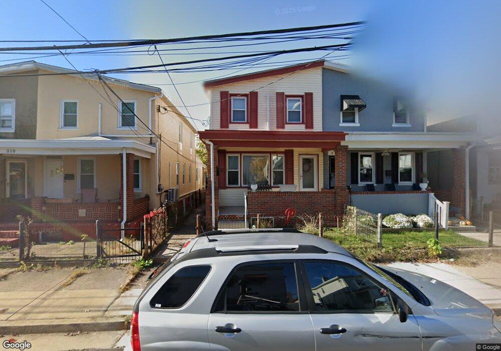
312 Brook St Bristol, PA 19007
Estimated Value: $275,000 - $349,000
3
Beds
1
Bath
1,296
Sq Ft
$244/Sq Ft
Est. Value
About This Home
This home is located at 312 Brook St, Bristol, PA 19007 and is currently estimated at $316,440, approximately $244 per square foot. 312 Brook St is a home located in Bucks County with nearby schools including Snyder-Girotti Elementary School, Bristol High School, and St. Mark Elementary School.
Ownership History
Date
Name
Owned For
Owner Type
Purchase Details
Closed on
Oct 28, 1994
Sold by
Kraeuter Carl and Kraeuter Joyce
Bought by
Larosa Marilyn M
Current Estimated Value
Home Financials for this Owner
Home Financials are based on the most recent Mortgage that was taken out on this home.
Original Mortgage
$67,894
Interest Rate
8.78%
Mortgage Type
FHA
Purchase Details
Closed on
Aug 18, 1989
Bought by
Kraeuter Carl and Kraeuter Joyce
Create a Home Valuation Report for This Property
The Home Valuation Report is an in-depth analysis detailing your home's value as well as a comparison with similar homes in the area
Home Values in the Area
Average Home Value in this Area
Purchase History
| Date | Buyer | Sale Price | Title Company |
|---|---|---|---|
| Larosa Marilyn M | $68,400 | -- | |
| Kraeuter Carl | $60,000 | -- |
Source: Public Records
Mortgage History
| Date | Status | Borrower | Loan Amount |
|---|---|---|---|
| Closed | Larosa Marilyn M | $67,894 |
Source: Public Records
Tax History Compared to Growth
Tax History
| Year | Tax Paid | Tax Assessment Tax Assessment Total Assessment is a certain percentage of the fair market value that is determined by local assessors to be the total taxable value of land and additions on the property. | Land | Improvement |
|---|---|---|---|---|
| 2025 | $3,490 | $14,990 | $3,280 | $11,710 |
| 2024 | $3,490 | $14,990 | $3,280 | $11,710 |
| 2023 | $3,460 | $14,990 | $3,280 | $11,710 |
| 2022 | $3,460 | $14,990 | $3,280 | $11,710 |
| 2021 | $3,460 | $14,990 | $3,280 | $11,710 |
| 2020 | $3,558 | $14,990 | $3,280 | $11,710 |
| 2019 | $3,543 | $14,990 | $3,280 | $11,710 |
| 2018 | $3,543 | $14,990 | $3,280 | $11,710 |
| 2017 | $3,524 | $14,990 | $3,280 | $11,710 |
| 2016 | $3,524 | $14,990 | $3,280 | $11,710 |
| 2015 | -- | $14,990 | $3,280 | $11,710 |
| 2014 | -- | $14,990 | $3,280 | $11,710 |
Source: Public Records
Map
Nearby Homes
- 335 Jefferson Ave
- 348 Jefferson Ave
- 418 Jefferson Ave Unit 4
- 418 Jefferson Ave Unit 10
- 225 Washington St
- 243 Monroe St
- 209 Dorrance St
- 612 Pond St
- 16434 River View Cir
- 16442 River View Cir
- 16422 River View Cir
- 16352 River View Cir
- 16242 River View Cir
- 16344 River View Cir
- 16342 River View Cir
- 16322 River View Cir
- 16332 River View Cir
- 16131 River View Cir
- 16241 River View Cir
- 16232 River View Cir