312 Poocham Rd West Chesterfield, NH 03466
Estimated Value: $451,000 - $760,000
3
Beds
2
Baths
2,237
Sq Ft
$247/Sq Ft
Est. Value
About This Home
This home is located at 312 Poocham Rd, West Chesterfield, NH 03466 and is currently estimated at $552,319, approximately $246 per square foot. 312 Poocham Rd is a home with nearby schools including Chesterfield Central School, Mayland Early College High School, and Keene High School.
Ownership History
Date
Name
Owned For
Owner Type
Purchase Details
Closed on
Oct 21, 2016
Sold by
Mascoma Savings Bank
Bought by
Lafontaine Donald and Lafontaine Amy
Current Estimated Value
Home Financials for this Owner
Home Financials are based on the most recent Mortgage that was taken out on this home.
Original Mortgage
$150,000
Outstanding Balance
$119,837
Interest Rate
3.52%
Estimated Equity
$432,482
Purchase Details
Closed on
Nov 27, 1996
Sold by
Terrazzino Kenneth P and Terrazzino Jennifer M
Bought by
Lafontaine Donald J
Create a Home Valuation Report for This Property
The Home Valuation Report is an in-depth analysis detailing your home's value as well as a comparison with similar homes in the area
Home Values in the Area
Average Home Value in this Area
Purchase History
| Date | Buyer | Sale Price | Title Company |
|---|---|---|---|
| Lafontaine Donald | -- | -- | |
| Lafontaine Donald J | $160,000 | -- |
Source: Public Records
Mortgage History
| Date | Status | Borrower | Loan Amount |
|---|---|---|---|
| Open | Lafontaine Donald J | $150,000 | |
| Closed | Lafontaine Donald J | -- | |
| Previous Owner | Lafontaine Donald J | $81,201 | |
| Previous Owner | Lafontaine Donald J | $50,000 |
Source: Public Records
Tax History Compared to Growth
Tax History
| Year | Tax Paid | Tax Assessment Tax Assessment Total Assessment is a certain percentage of the fair market value that is determined by local assessors to be the total taxable value of land and additions on the property. | Land | Improvement |
|---|---|---|---|---|
| 2024 | $5,730 | $283,100 | $86,100 | $197,000 |
| 2023 | $5,611 | $283,100 | $86,100 | $197,000 |
| 2022 | $5,498 | $283,100 | $86,100 | $197,000 |
| 2021 | $5,382 | $283,100 | $86,100 | $197,000 |
| 2020 | $6,039 | $267,100 | $77,600 | $189,500 |
| 2019 | $5,738 | $257,100 | $77,600 | $179,500 |
| 2018 | $5,183 | $257,100 | $77,600 | $179,500 |
| 2016 | $5,466 | $257,100 | $77,600 | $179,500 |
| 2014 | $5,710 | $257,100 | $77,600 | $179,500 |
Source: Public Records
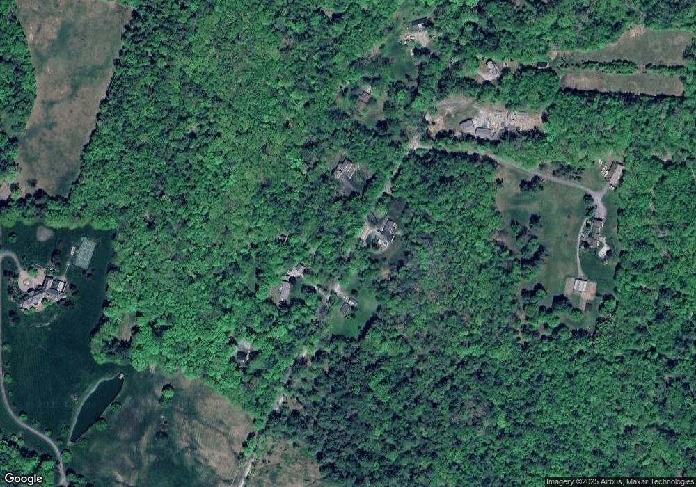
Map
Nearby Homes
- 123 Poocham Rd
- 85 Foley Rd
- 821 Route 9
- 0 Stow Dr Unit 4929741
- 136 Cross Rd
- 30 Farr Rd
- Lot 20 -20.3 Farr Rd
- 00 Orchard Rd Unit 1
- 36 Canal St
- 1123 River Rd
- 563 N Shore Rd
- 48 Church St
- 43 Westmoreland Rd
- 932 Middle Rd
- 601 River Rd S
- 31 Crescent Dr
- 21 Valley Park Dr
- 119 Main St
- 13 Kimball Hill
- 161 Buttonwood Dr
- 303B Poocham Rd
- 303 Poocham Rd
- 00 Poocham Rd
- 25 Poocham Rd
- 0 Poocham Rd
- 326 Poocham Rd
- 283 Poocham Rd
- 300 Poocham Rd
- 300 Poocham Rd
- 278 Poocham Rd
- 350 Poocham Rd
- 348 Poocham Rd
- 277 Poocham Rd
- 268 Poocham Rd
- 351 Poocham Rd
- 271 Poocham Rd
- 0 Poocham Unit Tax Map 4, Lot B001.
- 140 Pond Brook Rd
- 306 Poocham Rd
- 94 Pond Brook Rd