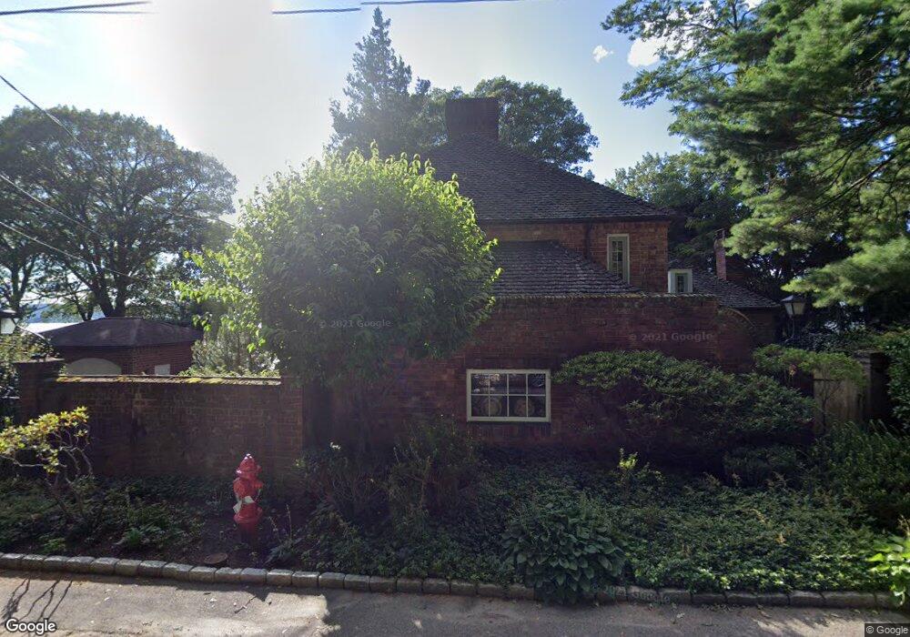
312 River Rd Briarcliff Manor, NY 10510
Estimated Value: $1,418,000 - $3,204,000
4
Beds
3
Baths
3,234
Sq Ft
$802/Sq Ft
Est. Value
About This Home
This home is located at 312 River Rd, Briarcliff Manor, NY 10510 and is currently estimated at $2,594,308, approximately $802 per square foot. 312 River Rd is a home located in Westchester County with nearby schools including Park School, Claremont School, and Roosevelt Elementary School.
Ownership History
Date
Name
Owned For
Owner Type
Purchase Details
Closed on
Jul 21, 2025
Sold by
Nelson Scott A and Nelson Susan W
Bought by
Scott Nelson Revocable Trust and Susan Nelson Revocable Trust
Current Estimated Value
Purchase Details
Closed on
Jan 17, 2024
Sold by
Phillips Stone S
Bought by
Nelson Scott A and Nelson Susan W
Purchase Details
Closed on
Jun 15, 2016
Sold by
Taben Eva
Bought by
Phillips Stone P and Phillips Debra P
Purchase Details
Closed on
Dec 19, 2003
Sold by
Taben Stanley and Taben Eva
Bought by
Taben Eva
Create a Home Valuation Report for This Property
The Home Valuation Report is an in-depth analysis detailing your home's value as well as a comparison with similar homes in the area
Home Values in the Area
Average Home Value in this Area
Purchase History
| Date | Buyer | Sale Price | Title Company |
|---|---|---|---|
| Scott Nelson Revocable Trust | -- | Radian Title | |
| Nelson Scott A | $2,900,000 | Thoroughbred Title | |
| Phillips Stone P | $1,610,000 | Prestige Title | |
| Taben Eva | -- | -- |
Source: Public Records
Tax History Compared to Growth
Tax History
| Year | Tax Paid | Tax Assessment Tax Assessment Total Assessment is a certain percentage of the fair market value that is determined by local assessors to be the total taxable value of land and additions on the property. | Land | Improvement |
|---|---|---|---|---|
| 2024 | $51,891 | $1,808,100 | $813,000 | $995,100 |
| 2023 | $48,410 | $1,671,200 | $813,000 | $858,200 |
| 2022 | $48,675 | $1,479,400 | $813,000 | $666,400 |
| 2021 | $48,827 | $1,369,800 | $813,000 | $556,800 |
| 2020 | $50,095 | $1,369,800 | $813,000 | $556,800 |
| 2019 | $53,009 | $1,375,000 | $979,400 | $395,600 |
| 2018 | $67,616 | $1,628,400 | $979,400 | $649,000 |
| 2017 | $30,693 | $1,612,400 | $740,600 | $871,800 |
| 2016 | $569,804 | $1,188,200 | $603,000 | $585,200 |
| 2015 | $34,095 | $78,000 | $12,500 | $65,500 |
| 2014 | $34,095 | $78,000 | $12,500 | $65,500 |
| 2013 | $34,095 | $78,000 | $12,500 | $65,500 |
Source: Public Records
Map
Nearby Homes
- 2 Creighton Ln
- 39 Admiral Wordens Ln
- 36 Revolutionary Rd
- 12 Country Club Ln N
- 24 Country Club Ln
- 155 Revolutionary Rd
- 608 Kemeys Cove Unit 6-08
- 2 Requa St
- 16 Rockledge Ave Unit 7J
- 16 Rockledge Ave Unit 5B1
- 16 Rockledge Ave Unit 3E1
- 16 Rockledge Ave Unit 5L2
- 7 Liberty St
- 10 Briarbrook Dr
- 23 Liberty St
- 70 Briarbrook Dr
- 842 Sleepy Hollow Rd
- 147 Charter Cir Unit 147
- 97 Charter Cir Unit 97
- 84 Charter Cir Unit 84