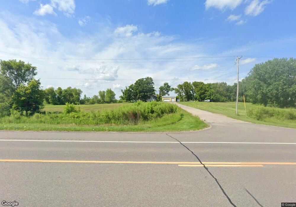
3122 Us Highway 12 SW Waverly, MN 55390
Estimated Value: $437,000 - $527,000
3
Beds
2
Baths
1,756
Sq Ft
$271/Sq Ft
Est. Value
About This Home
This home is located at 3122 Us Highway 12 SW, Waverly, MN 55390 and is currently estimated at $475,357, approximately $270 per square foot. 3122 Us Highway 12 SW is a home located in Wright County with nearby schools including Humphrey Elementary School, Winsted Elementary School, and Howard Lake-Waverly-Winsted Middle School.
Ownership History
Date
Name
Owned For
Owner Type
Purchase Details
Closed on
Nov 12, 2010
Sold by
Mengelkoch Donald J and Mengelkoch Jodi M
Bought by
Mengelkoch Kevin and Mengelkoch Barbara
Current Estimated Value
Purchase Details
Closed on
Nov 10, 2010
Sold by
Mengelkoch Donald J and Mengelkoch Jodi M
Bought by
Mengelkoch Kevin and Mengelkoch Barbara
Purchase Details
Closed on
Jun 6, 2005
Sold by
Mengelkoch Donald J and Mengelkoch Jodi M
Bought by
Mcdonough Dale R and Mcdonough Mary E
Create a Home Valuation Report for This Property
The Home Valuation Report is an in-depth analysis detailing your home's value as well as a comparison with similar homes in the area
Home Values in the Area
Average Home Value in this Area
Purchase History
| Date | Buyer | Sale Price | Title Company |
|---|---|---|---|
| Mengelkoch Kevin | $12,900 | -- | |
| Mengelkoch Kevin | $12,900 | -- | |
| Mcdonough Dale R | $40,000 | -- |
Source: Public Records
Tax History Compared to Growth
Tax History
| Year | Tax Paid | Tax Assessment Tax Assessment Total Assessment is a certain percentage of the fair market value that is determined by local assessors to be the total taxable value of land and additions on the property. | Land | Improvement |
|---|---|---|---|---|
| 2025 | $4,048 | $437,800 | $130,700 | $307,100 |
| 2024 | $3,940 | $423,500 | $134,000 | $289,500 |
| 2023 | $3,638 | $414,100 | $124,900 | $289,200 |
| 2022 | $3,890 | $373,600 | $124,300 | $249,300 |
| 2021 | $3,962 | $345,200 | $109,100 | $236,100 |
| 2020 | $4,000 | $338,800 | $109,100 | $229,700 |
| 2019 | $4,016 | $347,100 | $0 | $0 |
| 2018 | $3,310 | $347,100 | $0 | $0 |
| 2017 | $3,182 | $290,700 | $0 | $0 |
| 2016 | $3,250 | $0 | $0 | $0 |
| 2015 | $2,934 | $0 | $0 | $0 |
| 2014 | -- | $0 | $0 | $0 |
Source: Public Records
Map
Nearby Homes
- 6502 Dale Cir SW
- 331 Bavaria Ln
- 2002 Apple Ln
- 6507 Dale Cir SW
- 2105 Birch Ln
- 2008 Apple Ln
- 2010 Apple Ln
- 2113 Birch Ln
- 815 Cologne Ln
- XX Sect-05 Twp-118 Range-026
- 1012 Brandenburg Ln
- 1004 Brandenburg Ln
- 1002 Brandenburg Ln
- The Oak Ridge Plan at Carrigan Meadows
- The Waterford Plan at Carrigan Meadows
- The Madison Villa Plan at Carrigan Meadows
- The Windsor Villa Plan at Carrigan Meadows
- The Augusta Villa Plan at Carrigan Meadows
- The Washington Plan at Carrigan Meadows
- The Lakewood Plan at Carrigan Meadows
- xxxA Dempsey St SW
- 5939 Dempsey Ave SW
- 5877 Dempsey Ave SW
- 3268 Us Highway 12 SW
- 3138 62nd St SW
- 3162 62nd St SW
- 6055 Deshone Ave SW
- 6055 Deshone Ave SW
- 6067 Dempsey Ave SW
- L5B4 Cheyenne Cir
- 9065 Cheyenne Cir
- 9067 Cheyenne Cir
- B4L6 Cheyenne Cir
- 9063 Cheyenne Cir
- 9063 Cheyenne Cir
- 9061 Cheyanne Cir E
- B4L7 Cheyanne Cir
- B4L3 Cheyenne Cir
- 3324 Us Highway 12 SW
- 6000 Dempsey Ave SW