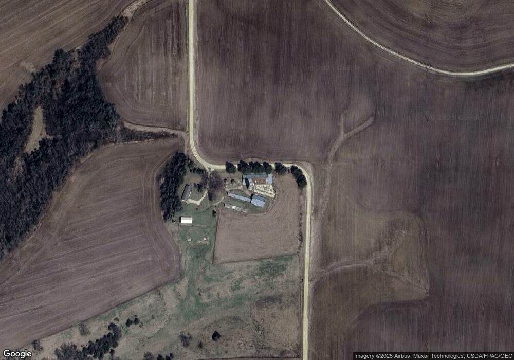
31285 Furrow Rd Lanesboro, MN 55949
Estimated Value: $786,000 - $1,103,290
3
Beds
2
Baths
1,512
Sq Ft
$625/Sq Ft
Est. Value
About This Home
This home is located at 31285 Furrow Rd, Lanesboro, MN 55949 and is currently estimated at $944,645, approximately $624 per square foot. 31285 Furrow Rd is a home located in Fillmore County with nearby schools including Rushford-Peterson Elementary School, Rushford-Peterson Middle School, and Rushford-Peterson Senior High School.
Ownership History
Date
Name
Owned For
Owner Type
Purchase Details
Closed on
Nov 10, 2017
Sold by
Toy Robin and Toy Adrian C
Bought by
Toy Robin R and Robin R Toy Revocable Trust
Current Estimated Value
Purchase Details
Closed on
Sep 5, 2017
Sold by
Hatlevig Barbara K
Bought by
Thiele Heidi J and Moger Amy M
Create a Home Valuation Report for This Property
The Home Valuation Report is an in-depth analysis detailing your home's value as well as a comparison with similar homes in the area
Home Values in the Area
Average Home Value in this Area
Purchase History
| Date | Buyer | Sale Price | Title Company |
|---|---|---|---|
| Toy Robin R | -- | None Available | |
| Thiele Heidi J | -- | None Available |
Source: Public Records
Tax History Compared to Growth
Tax History
| Year | Tax Paid | Tax Assessment Tax Assessment Total Assessment is a certain percentage of the fair market value that is determined by local assessors to be the total taxable value of land and additions on the property. | Land | Improvement |
|---|---|---|---|---|
| 2025 | $3,156 | $1,084,400 | $795,600 | $288,800 |
| 2024 | $3,156 | $894,600 | $688,900 | $205,700 |
| 2023 | $2,284 | $894,600 | $688,900 | $205,700 |
| 2022 | $2,284 | $665,100 | $528,500 | $136,600 |
| 2021 | $2,284 | $641,100 | $504,500 | $136,600 |
| 2020 | $2,196 | $641,100 | $504,500 | $136,600 |
| 2019 | $2,478 | $629,200 | $492,600 | $136,600 |
| 2018 | $2,506 | $629,200 | $492,600 | $136,600 |
| 2017 | -- | $613,000 | $485,200 | $127,800 |
| 2016 | $2,190 | $587,500 | $459,700 | $127,800 |
| 2015 | $1,716 | $559,100 | $466,068 | $93,032 |
| 2014 | $1,716 | $557,800 | $464,768 | $93,032 |
| 2013 | $1,716 | $440,400 | $347,409 | $92,991 |
Source: Public Records
Map
Nearby Homes
- 34869 Fawn Dr
- 34760 Fawn Dr
- Tbd State Highway 16
- 208 Elmwood St E
- 206 Elmwood St E
- 402 Hillcrest St E
- 105 Parkway Ave N
- 201 Ridgeview Ln S Unit 204
- 407 Johnson Dr
- 301 Kirkwood St E
- TBD State 16
- 708 Parkway Ave S
- 709 Rochelle Ave S
- 300 Whittier St W
- 8 Lots - 1 Price Briella Ave
- 120 W Jessie St
- 302 N Mill St
- 203 S Maple St
- 22485 391st Ave
- 503 E Rushford Ave
- 35856 Flag Rd
- XXXXX Flag Rd
- XXXXX Flag Rd
- 35315 Flag Rd
- 36244 Doe Rd
- 36105 Flag Rd
- 36381 36381 Doe-Road-
- 36381 Doe Rd
- 32060 Furrow Rd
- 31500 Furrow Rd
- 36445 Doe Rd
- 31253 State Hwy 250
- 31253 State Hwy 250
- 31253 State Hwy 250
- 31253 State Hwy 250
- 31253 State Hwy 250
- 31431 State Hwy 250
- 30676 State Hwy 250
- XXXX County 105 Rd
- 36115 Flag Rd