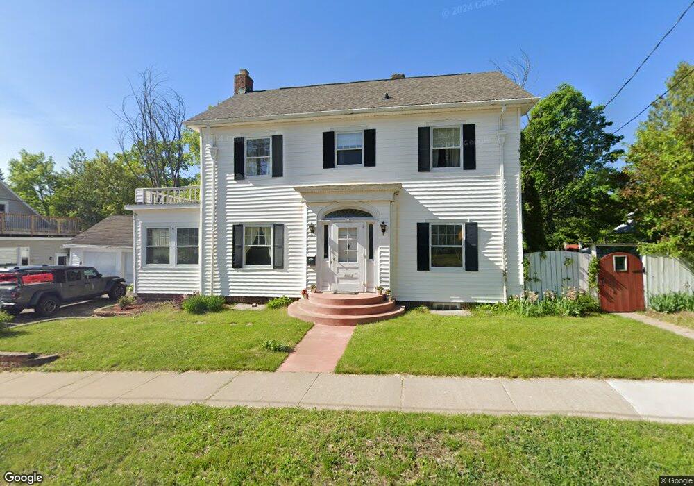
315 E Rives St Rhinelander, WI 54501
Estimated Value: $202,000 - $317,000
--
Bed
--
Bath
--
Sq Ft
4,879
Sq Ft Lot
About This Home
This home is located at 315 E Rives St, Rhinelander, WI 54501 and is currently estimated at $274,047. 315 E Rives St is a home located in Oneida County with nearby schools including Pelican Elementary School, James Williams Middle School, and Rhinelander High School.
Ownership History
Date
Name
Owned For
Owner Type
Purchase Details
Closed on
Dec 30, 2019
Sold by
Loomis Kira
Bought by
Loomis Aaron
Current Estimated Value
Purchase Details
Closed on
Oct 1, 2014
Sold by
Julie K Julie K and Krouze Curt M
Bought by
Loomis Aaron and Loomis Kira
Home Financials for this Owner
Home Financials are based on the most recent Mortgage that was taken out on this home.
Original Mortgage
$109,000
Outstanding Balance
$83,503
Interest Rate
4.08%
Mortgage Type
New Conventional
Estimated Equity
$190,544
Purchase Details
Closed on
Sep 30, 2014
Sold by
Krouze Julie K and Krouze Curt M
Bought by
Loomis Aaron and Loomis Kira
Home Financials for this Owner
Home Financials are based on the most recent Mortgage that was taken out on this home.
Original Mortgage
$109,000
Outstanding Balance
$83,503
Interest Rate
4.08%
Mortgage Type
New Conventional
Estimated Equity
$190,544
Purchase Details
Closed on
Jan 4, 2010
Sold by
Dart Julie K and Krouze Julie K
Bought by
Krouze Juliie K and Krouze Curt M
Create a Home Valuation Report for This Property
The Home Valuation Report is an in-depth analysis detailing your home's value as well as a comparison with similar homes in the area
Home Values in the Area
Average Home Value in this Area
Purchase History
| Date | Buyer | Sale Price | Title Company |
|---|---|---|---|
| Loomis Aaron | -- | None Available | |
| Loomis Aaron | -- | Northern Title | |
| Loomis Aaron | $129,000 | -- | |
| Krouze Juliie K | -- | Northern Title And Abstract |
Source: Public Records
Mortgage History
| Date | Status | Borrower | Loan Amount |
|---|---|---|---|
| Open | Loomis Aaron | $109,000 |
Source: Public Records
Tax History Compared to Growth
Tax History
| Year | Tax Paid | Tax Assessment Tax Assessment Total Assessment is a certain percentage of the fair market value that is determined by local assessors to be the total taxable value of land and additions on the property. | Land | Improvement |
|---|---|---|---|---|
| 2024 | $3,499 | $143,000 | $6,000 | $137,000 |
| 2023 | $3,373 | $143,000 | $6,000 | $137,000 |
| 2022 | $2,618 | $143,000 | $6,000 | $137,000 |
| 2021 | $3,340 | $143,000 | $6,000 | $137,000 |
| 2020 | $2,759 | $143,000 | $6,000 | $137,000 |
| 2019 | $2,844 | $143,000 | $6,000 | $137,000 |
| 2018 | $2,833 | $143,000 | $6,000 | $137,000 |
| 2017 | $2,904 | $143,000 | $6,000 | $137,000 |
| 2016 | $3,042 | $143,000 | $6,000 | $137,000 |
| 2015 | $2,960 | $143,000 | $6,000 | $137,000 |
| 2014 | $2,960 | $143,000 | $6,000 | $137,000 |
| 2011 | $3,007 | $153,900 | $6,000 | $147,900 |
Source: Public Records
Map
Nearby Homes
- 106 N Baird Ave
- 316 Dahl St
- 429 Dahl St
- 408 N Stevens St
- 127 E Anderson St
- 17 E Harvey St
- 608 Coolidge Ave
- 225 Alban St
- 654 E Timber Dr
- 413 Conro St
- 715 N Stevens St
- ON Spring Lake Rd
- 110 W Pearl St
- 603 Evergreen Ct
- 324 Abner St
- 740 Evergreen Ct
- 909 Arbutus St
- 101 Johnson St
- 1205 Eagle St
- 5177 Pioneer St