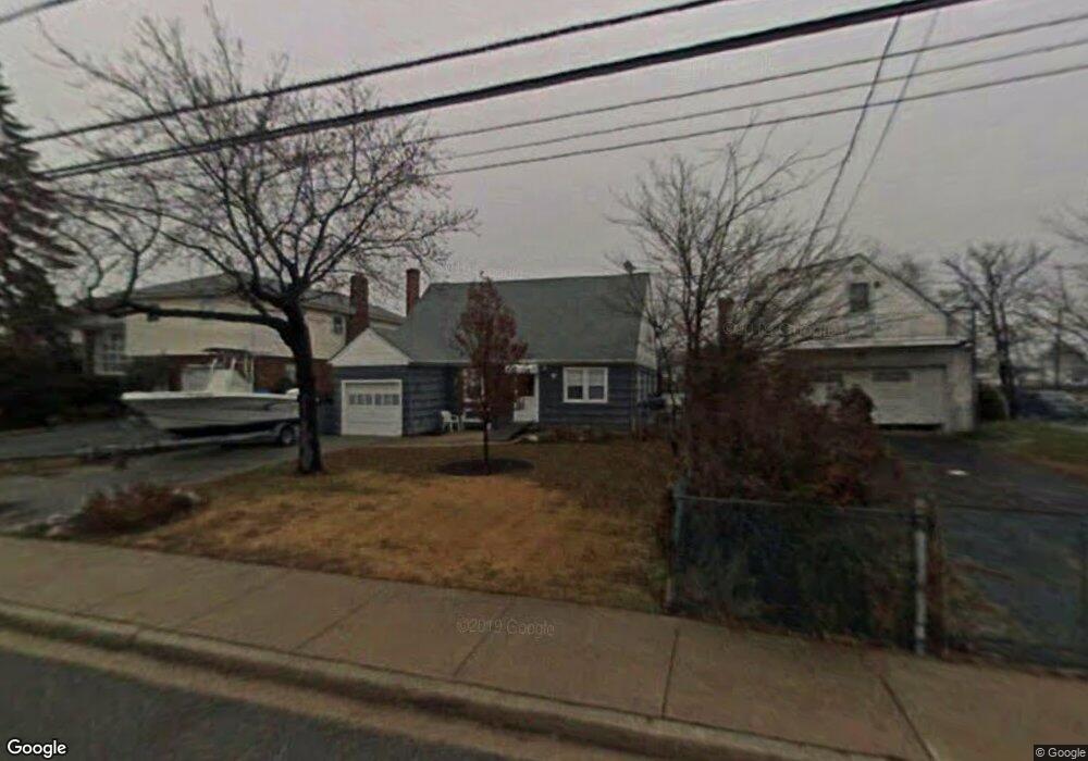
315 Westside Ave Freeport, NY 11520
Estimated Value: $765,000 - $816,521
--
Bed
1
Bath
2,580
Sq Ft
$306/Sq Ft
Est. Value
About This Home
This home is located at 315 Westside Ave, Freeport, NY 11520 and is currently estimated at $790,761, approximately $306 per square foot. 315 Westside Ave is a home located in Nassau County with nearby schools including Columbus Avenue School, Caroline G. Atkinson Intermediate School, and John W Dodd Middle School.
Ownership History
Date
Name
Owned For
Owner Type
Purchase Details
Closed on
Jun 21, 2013
Sold by
Mcbride Patrick
Bought by
Mcbride Patrick and Mcbride Loretta
Current Estimated Value
Purchase Details
Closed on
Dec 17, 2010
Sold by
Heal Robert
Bought by
Mcbride Patrick
Purchase Details
Closed on
Sep 21, 2004
Sold by
Heal Helane
Create a Home Valuation Report for This Property
The Home Valuation Report is an in-depth analysis detailing your home's value as well as a comparison with similar homes in the area
Home Values in the Area
Average Home Value in this Area
Purchase History
| Date | Buyer | Sale Price | Title Company |
|---|---|---|---|
| Mcbride Patrick | -- | -- | |
| Mcbride Patrick | -- | -- | |
| Mcbride Patrick | -- | -- | |
| Mcbride Patrick | $380,000 | -- | |
| Mcbride Patrick | $380,000 | -- | |
| Mcbride Patrick | $380,000 | -- | |
| -- | -- | -- | |
| -- | -- | -- |
Source: Public Records
Tax History Compared to Growth
Tax History
| Year | Tax Paid | Tax Assessment Tax Assessment Total Assessment is a certain percentage of the fair market value that is determined by local assessors to be the total taxable value of land and additions on the property. | Land | Improvement |
|---|---|---|---|---|
| 2025 | $12,010 | $557 | $230 | $327 |
| 2024 | $1,219 | $586 | $242 | $344 |
| 2023 | $10,908 | $586 | $242 | $344 |
| 2022 | $10,908 | $586 | $242 | $344 |
| 2021 | $14,426 | $562 | $191 | $371 |
| 2020 | $7,788 | $702 | $701 | $1 |
| 2019 | $8,992 | $702 | $548 | $154 |
| 2018 | $8,728 | $1,055 | $0 | $0 |
| 2017 | $11,297 | $1,055 | $824 | $231 |
| 2016 | $12,880 | $1,055 | $662 | $393 |
| 2015 | $1,524 | $1,055 | $499 | $556 |
| 2014 | $1,524 | $1,055 | $499 | $556 |
| 2013 | $669 | $490 | $490 | $0 |
Source: Public Records
Map
Nearby Homes
- 292 Westside Ave
- 479 Roosevelt Ave
- 226 Westside Ave Unit B
- 744 S Long Beach Ave
- 470 Miller Ave
- 587 S Bayview Ave
- 232 Nassau Ave
- 65 Adams St
- 159 Branch Ave
- 106 Irving Ave
- 171 Westside Ave
- 209 Nassau Ave
- 374 Miller Ave
- 570 S Ocean Ave
- 31 Casino St Unit PH
- 465 Nassau Ave
- 829 S Long Beach Ave
- 536 S Ocean Ave
- 322 Miller Ave
- 28 Florence Ave
- 311 Westside Ave
- 10 Clinton St
- 10 Clinton St Unit upper
- 305 Westside Ave
- 299 Westside Ave
- 9 Clinton St
- 8 Prospect St
- 316 Westside Ave
- 312 Westside Ave
- 275 Westside Ave
- 30 Clinton St
- 335 Westside Ave
- 306 Westside Ave
- 302 Westside Ave
- 289 Westside Ave
- 16 Prospect St
- 341 Westside Ave
- 296 Westside Ave
- 338 Westside Ave
- 317 Saint Marks Ave