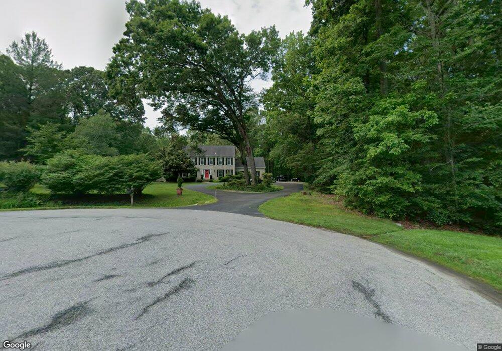
3150 Ashwood Dr Dunkirk, MD 20754
Estimated Value: $805,000 - $974,000
--
Bed
4
Baths
2,721
Sq Ft
$326/Sq Ft
Est. Value
About This Home
This home is located at 3150 Ashwood Dr, Dunkirk, MD 20754 and is currently estimated at $887,767, approximately $326 per square foot. 3150 Ashwood Dr is a home located in Calvert County with nearby schools including Mount Harmony Elementary School, Northern Middle School, and Northern High School.
Ownership History
Date
Name
Owned For
Owner Type
Purchase Details
Closed on
Nov 14, 2003
Sold by
Treicis John and Treicis Deborah G
Bought by
Matteson Robert and Matteson Patricia
Current Estimated Value
Purchase Details
Closed on
Jul 21, 1986
Sold by
Floria Joseph M and Floria Patricia A
Bought by
Treicis John and Treicis Deborah G
Home Financials for this Owner
Home Financials are based on the most recent Mortgage that was taken out on this home.
Original Mortgage
$170,000
Interest Rate
10.43%
Purchase Details
Closed on
Mar 10, 1983
Sold by
Wood Construction Co Inc
Bought by
Floria Joseph M and Floria Patricia A
Home Financials for this Owner
Home Financials are based on the most recent Mortgage that was taken out on this home.
Original Mortgage
$48,240
Interest Rate
12.74%
Create a Home Valuation Report for This Property
The Home Valuation Report is an in-depth analysis detailing your home's value as well as a comparison with similar homes in the area
Home Values in the Area
Average Home Value in this Area
Purchase History
| Date | Buyer | Sale Price | Title Company |
|---|---|---|---|
| Matteson Robert | $525,000 | -- | |
| Treicis John | $265,000 | -- | |
| Floria Joseph M | $53,600 | -- |
Source: Public Records
Mortgage History
| Date | Status | Borrower | Loan Amount |
|---|---|---|---|
| Previous Owner | Treicis John | $170,000 | |
| Previous Owner | Floria Joseph M | $48,240 | |
| Closed | Matteson Robert | -- |
Source: Public Records
Tax History Compared to Growth
Tax History
| Year | Tax Paid | Tax Assessment Tax Assessment Total Assessment is a certain percentage of the fair market value that is determined by local assessors to be the total taxable value of land and additions on the property. | Land | Improvement |
|---|---|---|---|---|
| 2025 | $6,715 | $638,900 | $208,600 | $430,300 |
| 2024 | $6,715 | $602,200 | $0 | $0 |
| 2023 | $6,090 | $565,500 | $0 | $0 |
| 2022 | $5,705 | $528,800 | $208,600 | $320,200 |
| 2021 | $5,568 | $521,267 | $0 | $0 |
| 2020 | $5,568 | $513,733 | $0 | $0 |
| 2019 | $5,512 | $506,200 | $208,600 | $297,600 |
| 2018 | $5,458 | $502,300 | $0 | $0 |
| 2017 | $5,489 | $498,400 | $0 | $0 |
| 2016 | -- | $494,500 | $0 | $0 |
| 2015 | $5,111 | $494,500 | $0 | $0 |
| 2014 | $5,111 | $494,500 | $0 | $0 |
Source: Public Records
Map
Nearby Homes
- 3402 King Dr
- 11612 Rivershore Dr
- 11871 Lexington Dr
- 3350 Lancer Ct
- 3300 Lancer Ct
- 10612 Taney Ct
- 2850 Dunleigh Dr
- 2950 Chaney Rd
- 11216 Lakeview Dr
- 215 Jaguar Dr
- 30 Jaguar Dr
- 1920 Aberdeen Dr
- 4060 Loving Dr
- 9665 Tara Dr
- 9655 Tara Dr
- 12651 Vigilant Ct
- 12761 Carronade Ct
- 461 Jewell Rd
- 16501 Nottingham Rd
- 6340 Mckendree Rd