31565 County Road 111 Lewiston, MN 55952
Estimated Value: $291,000 - $406,000
4
Beds
1
Bath
2,154
Sq Ft
$161/Sq Ft
Est. Value
About This Home
This home is located at 31565 County Road 111, Lewiston, MN 55952 and is currently estimated at $346,895, approximately $161 per square foot. 31565 County Road 111 is a home located in Winona County with nearby schools including Lewiston-Altura Secondary School.
Ownership History
Date
Name
Owned For
Owner Type
Purchase Details
Closed on
Apr 22, 2016
Sold by
Bennie Barbara A and Bennie John R
Bought by
Decker Eric J and Decker Dawn E
Current Estimated Value
Home Financials for this Owner
Home Financials are based on the most recent Mortgage that was taken out on this home.
Original Mortgage
$190,850
Outstanding Balance
$151,867
Interest Rate
3.73%
Mortgage Type
New Conventional
Estimated Equity
$195,028
Create a Home Valuation Report for This Property
The Home Valuation Report is an in-depth analysis detailing your home's value as well as a comparison with similar homes in the area
Home Values in the Area
Average Home Value in this Area
Purchase History
| Date | Buyer | Sale Price | Title Company |
|---|---|---|---|
| Decker Eric J | $200,900 | None Available |
Source: Public Records
Mortgage History
| Date | Status | Borrower | Loan Amount |
|---|---|---|---|
| Open | Decker Eric J | $190,850 |
Source: Public Records
Tax History Compared to Growth
Tax History
| Year | Tax Paid | Tax Assessment Tax Assessment Total Assessment is a certain percentage of the fair market value that is determined by local assessors to be the total taxable value of land and additions on the property. | Land | Improvement |
|---|---|---|---|---|
| 2025 | $2,486 | $272,700 | $72,600 | $200,100 |
| 2024 | $2,486 | $268,600 | $72,600 | $196,000 |
| 2023 | $1,582 | $269,800 | $72,600 | $197,200 |
| 2022 | $1,508 | $230,100 | $66,900 | $163,200 |
| 2021 | $1,456 | $204,100 | $56,700 | $147,400 |
| 2020 | $1,452 | $195,400 | $54,700 | $140,700 |
| 2019 | $1,400 | $195,400 | $54,700 | $140,700 |
| 2018 | $1,244 | $188,400 | $50,000 | $138,400 |
| 2017 | $1,306 | $0 | $0 | $0 |
| 2016 | $1,280 | $0 | $0 | $0 |
| 2015 | $1,280 | $0 | $0 | $0 |
| 2014 | $1,378 | $0 | $0 | $0 |
Source: Public Records
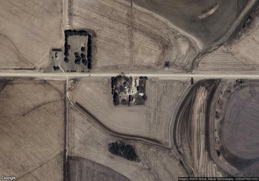
Map
Nearby Homes
- TBD30 Cherokee Rd
- 205 Nicholas Dr
- 225 S 1st St
- 140 W Main St
- 95 Williams St
- 570 Harrison St
- 0 Cherokee Rd
- 1542 Rimrock Rd
- 1397 Soppa Dr
- 8 Lots - 1 Price Briella Ave
- 260 E 15th St
- 2032 Wabasha Ave
- 1525 Wabasha Ave
- 701 Bluff Ave
- xx Tbd
- 302 N Mill St
- 240 Northern Hills Dr
- 113 E 7th St
- 120 W Jessie St
- 413 Northern Hills Ct