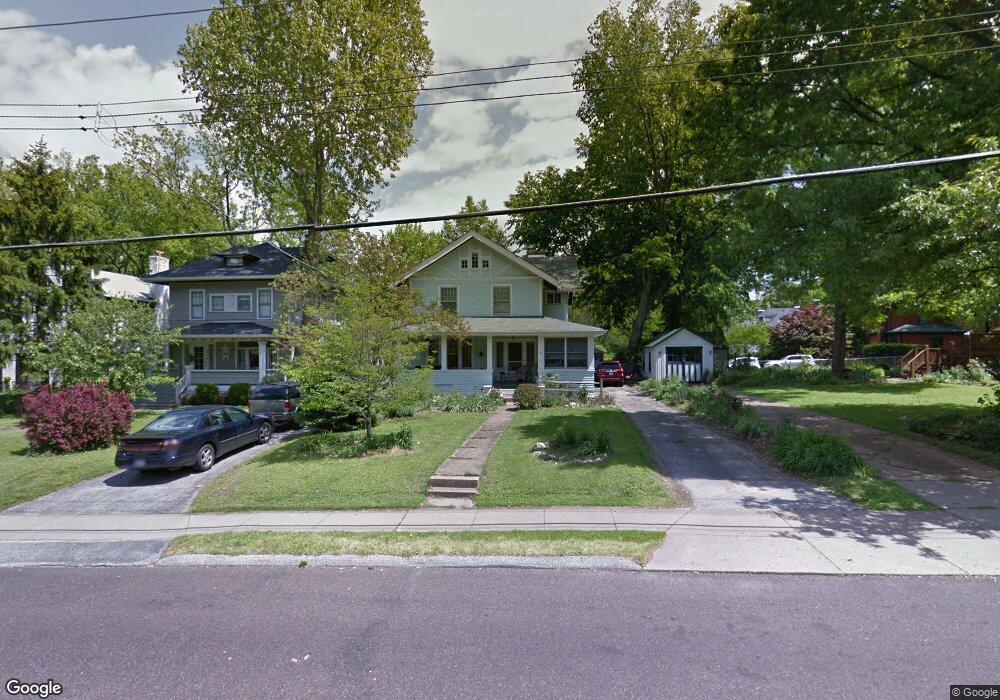
316 N Bompart Ave Saint Louis, MO 63119
Estimated Value: $496,000 - $665,000
3
Beds
1
Bath
2,353
Sq Ft
$237/Sq Ft
Est. Value
About This Home
This home is located at 316 N Bompart Ave, Saint Louis, MO 63119 and is currently estimated at $558,805, approximately $237 per square foot. 316 N Bompart Ave is a home located in St. Louis County with nearby schools including Avery Elementary School, Hixson Middle School, and Webster Groves High School.
Ownership History
Date
Name
Owned For
Owner Type
Purchase Details
Closed on
Nov 21, 2024
Sold by
Campbell James M and Campbell Holly B
Bought by
Campbell Family Revocable Joint Trust and Campbell
Current Estimated Value
Purchase Details
Closed on
Apr 8, 2014
Sold by
Campbell James M and Campbell Holly B
Bought by
Campbell James M and Campbell Holly B
Purchase Details
Closed on
Apr 9, 2013
Sold by
Bredweg Mary P and Bredeweg Gerald
Bought by
Campbell James M
Purchase Details
Closed on
Apr 3, 2013
Sold by
Campbell James M and Sansoucie Clifford
Bought by
Campbell James M and Bredeweg Mary P
Create a Home Valuation Report for This Property
The Home Valuation Report is an in-depth analysis detailing your home's value as well as a comparison with similar homes in the area
Home Values in the Area
Average Home Value in this Area
Purchase History
| Date | Buyer | Sale Price | Title Company |
|---|---|---|---|
| Campbell Family Revocable Joint Trust | -- | None Listed On Document | |
| Campbell James M | -- | None Available | |
| Campbell James M | $87,500 | None Available | |
| Campbell James M | -- | None Available |
Source: Public Records
Tax History Compared to Growth
Tax History
| Year | Tax Paid | Tax Assessment Tax Assessment Total Assessment is a certain percentage of the fair market value that is determined by local assessors to be the total taxable value of land and additions on the property. | Land | Improvement |
|---|---|---|---|---|
| 2025 | $4,228 | $86,960 | $65,530 | $21,430 |
| 2024 | $4,228 | $60,610 | $40,960 | $19,650 |
| 2023 | $4,207 | $60,610 | $40,960 | $19,650 |
| 2022 | $4,426 | $59,260 | $32,790 | $26,470 |
| 2021 | $4,411 | $59,260 | $32,790 | $26,470 |
| 2020 | $4,782 | $59,900 | $32,790 | $27,110 |
| 2019 | $4,748 | $59,900 | $32,790 | $27,110 |
| 2018 | $4,418 | $49,470 | $22,950 | $26,520 |
| 2017 | $4,389 | $49,470 | $22,950 | $26,520 |
| 2016 | $4,534 | $48,950 | $19,670 | $29,280 |
| 2015 | $4,553 | $48,950 | $19,670 | $29,280 |
| 2014 | $4,679 | $48,950 | $15,090 | $33,860 |
Source: Public Records
Map
Nearby Homes
- 400 Marion Ave
- 544 Summit Ave
- 619 N Bompart Ave
- 808 Greeley Ave
- 441 Park Rd
- 610 Cornelia Ave
- 716 Clark Ave
- 450 E Lockwood Ave Unit 303
- 946 Newport Ave
- 7826 Grove Ave
- 7723 Suffolk Ave
- 554 N Laclede Station Rd
- 570 N Laclede Station Rd
- 840 Marshall Ave
- 940 Brookside Ave
- 4 Saint Charles Place
- 6 Saint Charles Place
- 946 Marshall Ave Unit D
- 8361 Big Bend Blvd
- 25 Saint Charles Place
- 318 N Bompart Ave
- 322 N Bompart Ave
- 505 Oakwood Ave
- 511 Oakwood Ave
- 326 N Bompart Ave
- 315 Marion Ave
- 521 Oakwood Ave
- 325 Marion Ave
- 332 N Bompart Ave
- 235 N Bompart Ave
- 525 Oakwood Ave
- 331 Marion Ave
- 229 N Bompart Ave
- 400 N Bompart Ave
- 490 Hawthorne Ave
- 219 N Bompart Ave
- 508 Oakwood Ave
- 533 Oakwood Ave
- 335 Marion Ave
- 514 Oakwood Ave