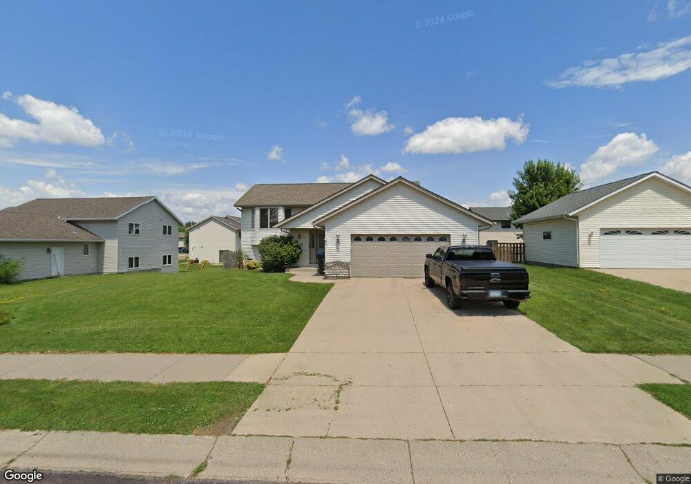
317 Cole Ct Mankato, MN 56001
Buscher Park NeighborhoodEstimated Value: $332,274 - $362,000
3
Beds
2
Baths
1,559
Sq Ft
$223/Sq Ft
Est. Value
About This Home
This home is located at 317 Cole Ct, Mankato, MN 56001 and is currently estimated at $347,819, approximately $223 per square foot. 317 Cole Ct is a home located in Blue Earth County with nearby schools including Rosa Parks Elementary School, Prairie Winds Middle School, and Mankato East Senior High School.
Ownership History
Date
Name
Owned For
Owner Type
Purchase Details
Closed on
Jun 22, 2010
Sold by
Williams Joel T and Williams Sara N
Bought by
Menge Dana R and Boeve Matthew R
Current Estimated Value
Home Financials for this Owner
Home Financials are based on the most recent Mortgage that was taken out on this home.
Original Mortgage
$177,509
Outstanding Balance
$117,793
Interest Rate
4.77%
Mortgage Type
FHA
Estimated Equity
$230,026
Purchase Details
Closed on
Mar 16, 2009
Sold by
Mathiowetz Dean R and Mathiowetz Judith
Bought by
Williams Joel and Williams Sara
Home Financials for this Owner
Home Financials are based on the most recent Mortgage that was taken out on this home.
Original Mortgage
$140,400
Interest Rate
5.22%
Mortgage Type
New Conventional
Create a Home Valuation Report for This Property
The Home Valuation Report is an in-depth analysis detailing your home's value as well as a comparison with similar homes in the area
Home Values in the Area
Average Home Value in this Area
Purchase History
| Date | Buyer | Sale Price | Title Company |
|---|---|---|---|
| Menge Dana R | $179,900 | -- | |
| Williams Joel | $175,500 | -- |
Source: Public Records
Mortgage History
| Date | Status | Borrower | Loan Amount |
|---|---|---|---|
| Open | Menge Dana R | $177,509 | |
| Previous Owner | Williams Joel | $140,400 |
Source: Public Records
Tax History Compared to Growth
Tax History
| Year | Tax Paid | Tax Assessment Tax Assessment Total Assessment is a certain percentage of the fair market value that is determined by local assessors to be the total taxable value of land and additions on the property. | Land | Improvement |
|---|---|---|---|---|
| 2025 | $3,234 | $306,700 | $38,000 | $268,700 |
| 2024 | $3,234 | $301,300 | $38,000 | $263,300 |
| 2023 | $3,310 | $304,200 | $38,000 | $266,200 |
| 2022 | $2,888 | $291,300 | $38,000 | $253,300 |
| 2021 | $2,842 | $240,200 | $38,000 | $202,200 |
| 2020 | $2,668 | $222,700 | $38,000 | $184,700 |
| 2019 | $2,498 | $222,700 | $38,000 | $184,700 |
| 2018 | $2,282 | $209,800 | $34,500 | $175,300 |
| 2017 | $2,016 | $194,800 | $34,500 | $160,300 |
| 2016 | $1,968 | $182,800 | $34,500 | $148,300 |
| 2015 | $19 | $179,800 | $34,500 | $145,300 |
| 2014 | $1,916 | $173,800 | $34,500 | $139,300 |
Source: Public Records
Map
Nearby Homes
- 128 Timberwolf Ct
- TBD Woodridge
- 101 Wickfield Dr
- 108 Ella Ct
- 109 Emily Ln
- 121 Savannah Ct
- 117 Savannah Ct
- 113 Sunburst Cir
- 216 S Brook Cir
- 112 Rosewood Dr Unit 108 Rosewood Drive
- 124 Joshua Ct
- 213 Rosewood Dr
- 20206 Monks Ave
- TBD S Brook Way
- 111 Newton St
- 0 Tbd South Brook Way
- 117 Sienna Cir
- 208 Chancery Ln
- 309 Viking Dr
- 121 Viking Ct