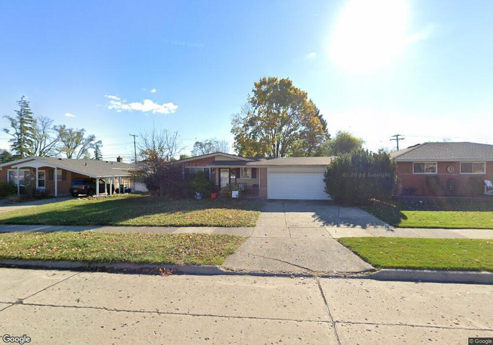
31783 Scone St Unit Bldg-Unit Livonia, MI 48154
Estimated Value: $299,000 - $322,000
3
Beds
2
Baths
1,134
Sq Ft
$269/Sq Ft
Est. Value
About This Home
This home is located at 31783 Scone St Unit Bldg-Unit, Livonia, MI 48154 and is currently estimated at $305,299, approximately $269 per square foot. 31783 Scone St Unit Bldg-Unit is a home located in Wayne County with nearby schools including Kennedy Elementary School, Johnson Upper Elementary School, and Frost Middle School.
Ownership History
Date
Name
Owned For
Owner Type
Purchase Details
Closed on
Jun 18, 2018
Sold by
Choronzy Sean
Bought by
Travis Daniel G
Current Estimated Value
Home Financials for this Owner
Home Financials are based on the most recent Mortgage that was taken out on this home.
Original Mortgage
$179,450
Outstanding Balance
$155,194
Interest Rate
4.5%
Mortgage Type
New Conventional
Estimated Equity
$150,105
Purchase Details
Closed on
Aug 5, 1997
Sold by
Catherine Catherine M and Catherine Thomas Y
Bought by
Choronzy Sean
Create a Home Valuation Report for This Property
The Home Valuation Report is an in-depth analysis detailing your home's value as well as a comparison with similar homes in the area
Home Values in the Area
Average Home Value in this Area
Purchase History
| Date | Buyer | Sale Price | Title Company |
|---|---|---|---|
| Travis Daniel G | $185,000 | Title One Inc | |
| Choronzy Sean | $133,000 | -- |
Source: Public Records
Mortgage History
| Date | Status | Borrower | Loan Amount |
|---|---|---|---|
| Open | Travis Daniel G | $179,450 |
Source: Public Records
Tax History Compared to Growth
Tax History
| Year | Tax Paid | Tax Assessment Tax Assessment Total Assessment is a certain percentage of the fair market value that is determined by local assessors to be the total taxable value of land and additions on the property. | Land | Improvement |
|---|---|---|---|---|
| 2025 | $2,084 | $120,600 | $0 | $0 |
| 2024 | $2,084 | $113,200 | $0 | $0 |
| 2023 | $1,988 | $101,100 | $0 | $0 |
| 2022 | $3,491 | $93,500 | $0 | $0 |
| 2021 | $3,391 | $89,400 | $0 | $0 |
| 2019 | $3,253 | $80,100 | $0 | $0 |
| 2018 | $1,713 | $74,300 | $0 | $0 |
| 2017 | $3,128 | $69,900 | $0 | $0 |
| 2016 | $2,247 | $69,900 | $0 | $0 |
| 2015 | $5,343 | $61,900 | $0 | $0 |
| 2012 | -- | $50,560 | $13,500 | $37,060 |
Source: Public Records
Map
Nearby Homes
- 14214 Cranston St
- 14327 Arden St
- 14164 Bainbridge St
- 32136 Lyndon St
- 14154 Hubbell St
- 14563 Melrose St
- 32950 Perth St
- 14292 Hubbell St
- 31126 Grennada St
- 14677 Auburndale St
- 31221 Lyndon St
- 33025 Martin St
- 33040 Allen St
- 14127 Hillcrest St
- 14879 Fairfield St
- 30831 Lyndon St
- 15040 Berwick St
- 15075 Hubbard St Unit 5
- 30261 Buckingham St
- 32651 5 Mile Rd Unit 15
- 31783 Scone St
- 31775 Scone St
- 31791 Scone St
- 31763 Scone St
- 31799 Scone St
- 13960 Berwick St
- 31751 Scone St
- 31780 Scone St
- 14010 Berwick St
- 31768 Scone St
- 13944 Berwick St
- 31850 Schoolcraft Rd
- 31756 Scone St
- 31739 Scone St
- 14028 Berwick St
- 13930 Berwick St
- 31744 Scone St
- 31670 Schoolcraft Rd
- 14003 Ingram St
- 31727 Scone St