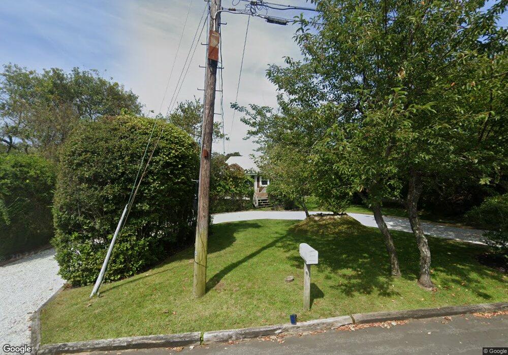
32 Duval Place Montauk, NY 11954
Estimated Value: $1,350,028 - $2,446,000
--
Bed
--
Bath
--
Sq Ft
10,454
Sq Ft Lot
About This Home
This home is located at 32 Duval Place, Montauk, NY 11954 and is currently estimated at $1,801,757. 32 Duval Place is a home located in Suffolk County with nearby schools including Montauk School.
Ownership History
Date
Name
Owned For
Owner Type
Purchase Details
Closed on
Oct 11, 2018
Sold by
26 Brisbane Rd Llc
Bought by
Watanabe Magonobu and Watanabe Junko
Current Estimated Value
Purchase Details
Closed on
Sep 12, 2018
Sold by
26 Brisbane Rd Llc
Bought by
Watanabe Magonobu and Watanabe Junko
Purchase Details
Closed on
May 8, 2013
Sold by
Rohrer Marianne
Bought by
26 Brisbane Rd Llc
Purchase Details
Closed on
May 22, 2006
Purchase Details
Closed on
Sep 18, 2004
Purchase Details
Closed on
Apr 22, 1994
Sold by
Schwarz Kenneth G and Schwarz Mercedes B
Bought by
Rohrer Laura
Create a Home Valuation Report for This Property
The Home Valuation Report is an in-depth analysis detailing your home's value as well as a comparison with similar homes in the area
Home Values in the Area
Average Home Value in this Area
Purchase History
| Date | Buyer | Sale Price | Title Company |
|---|---|---|---|
| Watanabe Magonobu | $1,240,000 | -- | |
| Watanabe Magonobu | $1,240,000 | -- | |
| 26 Brisbane Rd Llc | $687,000 | -- | |
| -- | -- | -- | |
| -- | -- | -- | |
| Rohrer Laura | $150,000 | The Title Guarantee Company |
Source: Public Records
Tax History Compared to Growth
Tax History
| Year | Tax Paid | Tax Assessment Tax Assessment Total Assessment is a certain percentage of the fair market value that is determined by local assessors to be the total taxable value of land and additions on the property. | Land | Improvement |
|---|---|---|---|---|
| 2024 | $4,949 | $4,325 | $400 | $3,925 |
| 2023 | $0 | $4,325 | $400 | $3,925 |
| 2022 | $3,493 | $4,325 | $400 | $3,925 |
| 2021 | $3,493 | $4,325 | $400 | $3,925 |
| 2020 | $2,006 | $4,150 | $400 | $3,750 |
| 2019 | $2,006 | $0 | $0 | $0 |
| 2018 | $3,493 | $4,150 | $400 | $3,750 |
| 2017 | $4,037 | $4,150 | $400 | $3,750 |
| 2016 | $4,011 | $4,150 | $400 | $3,750 |
| 2015 | -- | $3,600 | $400 | $3,200 |
| 2014 | -- | $3,600 | $400 | $3,200 |
Source: Public Records
Map
Nearby Homes
- 30 Hoppin Ave
- 12 Flagg Ave
- 100 Deforest Rd Unit 513
- 100 Deforest Rd Unit 25
- 100 Deforest Rd Unit 701
- 100 Deforest Rd Unit 433
- 100 Deforest Rd Unit 305
- 19 Deforest Rd
- 40 & 42 Deforest Rd
- 40 Deforest Rd
- 42 Deforest Rd
- 28 Ditch Plains Rd
- 21 S Fulton Dr Unit 29
- 21 S Fulton St Unit 6
- 27 S Fulton Dr
- 86 E Lake Dr
- 10 Lakeside Ct
- 14 Lakeside Ct
- 41 N Surfside Ave
- 9 Hopkins Ave