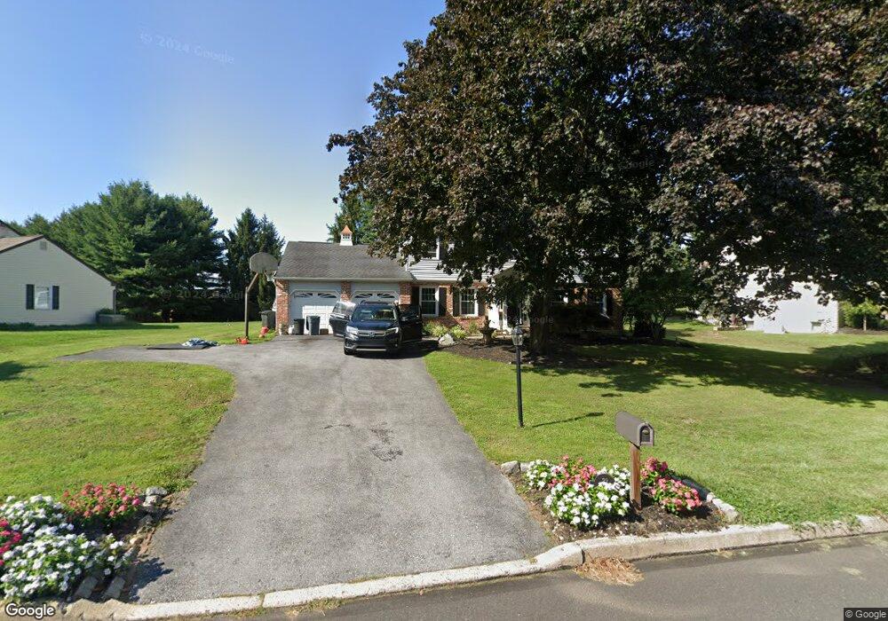
32 Langstoon Ln Media, PA 19063
Marple Township Delaware NeighborhoodEstimated Value: $596,000 - $883,000
4
Beds
3
Baths
2,436
Sq Ft
$293/Sq Ft
Est. Value
About This Home
This home is located at 32 Langstoon Ln, Media, PA 19063 and is currently estimated at $713,096, approximately $292 per square foot. 32 Langstoon Ln is a home located in Delaware County with nearby schools including Loomis Elementary School, Paxon Hollow Middle School, and Marple Newtown Senior High School.
Ownership History
Date
Name
Owned For
Owner Type
Purchase Details
Closed on
May 30, 2019
Sold by
Hirt John J and Hirt Dianne R
Bought by
Brennan Thomas J and Brennan Katerina M
Current Estimated Value
Home Financials for this Owner
Home Financials are based on the most recent Mortgage that was taken out on this home.
Original Mortgage
$385,000
Outstanding Balance
$339,188
Interest Rate
4.2%
Mortgage Type
New Conventional
Estimated Equity
$373,908
Purchase Details
Closed on
Aug 4, 2016
Sold by
Hirt Dianne R
Bought by
Hirt John J and Hirt Dianne R
Purchase Details
Closed on
May 22, 2001
Sold by
Hirt John J and Hirt Dianne R
Bought by
Hirt Dianne R
Create a Home Valuation Report for This Property
The Home Valuation Report is an in-depth analysis detailing your home's value as well as a comparison with similar homes in the area
Home Values in the Area
Average Home Value in this Area
Purchase History
| Date | Buyer | Sale Price | Title Company |
|---|---|---|---|
| Brennan Thomas J | $580,000 | Trident Land Transfer Co Lp | |
| Hirt John J | -- | Attorney | |
| Hirt Dianne R | -- | -- |
Source: Public Records
Mortgage History
| Date | Status | Borrower | Loan Amount |
|---|---|---|---|
| Open | Brennan Thomas J | $385,000 |
Source: Public Records
Tax History Compared to Growth
Tax History
| Year | Tax Paid | Tax Assessment Tax Assessment Total Assessment is a certain percentage of the fair market value that is determined by local assessors to be the total taxable value of land and additions on the property. | Land | Improvement |
|---|---|---|---|---|
| 2025 | $8,793 | $508,830 | $181,120 | $327,710 |
| 2024 | $8,793 | $508,830 | $181,120 | $327,710 |
| 2023 | $8,514 | $508,830 | $181,120 | $327,710 |
| 2022 | $8,353 | $508,830 | $181,120 | $327,710 |
| 2021 | $12,606 | $508,830 | $181,120 | $327,710 |
| 2020 | $7,899 | $274,490 | $103,340 | $171,150 |
| 2019 | $7,803 | $274,470 | $103,340 | $171,130 |
| 2018 | $7,722 | $274,470 | $0 | $0 |
| 2017 | $7,726 | $274,470 | $0 | $0 |
| 2016 | $1,537 | $274,470 | $0 | $0 |
| 2015 | $1,537 | $274,470 | $0 | $0 |
| 2014 | $1,537 | $274,470 | $0 | $0 |
Source: Public Records
Map
Nearby Homes
- 901 Crum Creek Rd
- 980 Palmers Mill Rd
- 203 Murray Ln
- 311 Timber Jump Ln
- 106A Jay Alley
- 213 Corvus Cir
- 2201 Aspen Cir
- 1038 Palmers Mill Rd
- 110 Dauphin Dr
- 2500 Grant Rd
- 2119 Boxwood Dr
- 430 E Rose Tree Rd
- 2611 Woodberry Rd
- 228 S Pkwy
- 2613 Caranel Rd
- 11 Linden Dr
- 464 Conard Dr
- 15 Pearson Dr
- 102 Gibson Ct
- 104 Gibson Ct