3201 Sullivan Trail Easton, PA 18040
Estimated Value: $886,626
--
Bed
--
Bath
13,889
Sq Ft
$64/Sq Ft
Est. Value
About This Home
This home is located at 3201 Sullivan Trail, Easton, PA 18040 and is currently estimated at $886,626, approximately $63 per square foot. 3201 Sullivan Trail is a home located in Northampton County with nearby schools including Shawnee Elementary School, Easton Area Middle School, and Easton Area High School.
Ownership History
Date
Name
Owned For
Owner Type
Purchase Details
Closed on
Mar 15, 2016
Sold by
Moussa Georges K
Bought by
Wens Inc
Current Estimated Value
Purchase Details
Closed on
Apr 11, 2011
Sold by
Easton Aerie #111 Fraternal Order Of Eag
Bought by
Moussa Georges K
Create a Home Valuation Report for This Property
The Home Valuation Report is an in-depth analysis detailing your home's value as well as a comparison with similar homes in the area
Home Values in the Area
Average Home Value in this Area
Purchase History
| Date | Buyer | Sale Price | Title Company |
|---|---|---|---|
| Wens Inc | -- | Attorney | |
| Moussa Georges K | $455,000 | None Available |
Source: Public Records
Tax History Compared to Growth
Tax History
| Year | Tax Paid | Tax Assessment Tax Assessment Total Assessment is a certain percentage of the fair market value that is determined by local assessors to be the total taxable value of land and additions on the property. | Land | Improvement |
|---|---|---|---|---|
| 2025 | $1,781 | $164,900 | $147,100 | $17,800 |
| 2024 | $23,955 | $273,400 | $147,100 | $126,300 |
| 2023 | $23,592 | $273,400 | $147,100 | $126,300 |
| 2022 | $27,236 | $320,500 | $147,100 | $173,400 |
| 2021 | $27,146 | $320,500 | $147,100 | $173,400 |
| 2020 | $27,130 | $320,500 | $147,100 | $173,400 |
| 2019 | $17,381 | $208,300 | $92,200 | $116,100 |
| 2018 | $17,083 | $208,300 | $92,200 | $116,100 |
| 2017 | $16,570 | $208,300 | $92,200 | $116,100 |
| 2016 | -- | $208,300 | $92,200 | $116,100 |
| 2015 | -- | $208,300 | $92,200 | $116,100 |
| 2014 | -- | $208,300 | $92,200 | $116,100 |
Source: Public Records
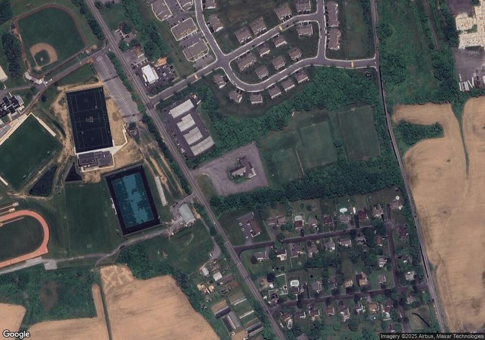
Map
Nearby Homes
- 977 S Fork Dr
- 640 Biltmore Ave
- 677 Biltmore Ave
- 712 Winterthur Way
- 657 Winterthur Way
- 647 San Simeon Place
- 891 Biltmore Ave
- 727 Kykuit Place
- 2755 Destiny Ln
- 2316 Wagon Wheel Dr
- 585 Adams St
- 329 Knollwood Dr
- 3813 Belcourt Rd
- 2735 Upstream Farm Rd
- 2609 Chestnut Ln
- 1300 Upstream Farm Rd
- 117 Willow Dr
- 21 Cobblestone Dr
- 22 Cobblestone Dr
- 17 Stonecreek Ct
- 882 S Fork Dr
- 3123 Sullivan Trail
- 872 S Fork Dr
- 811 American General Dr
- 892 S Fork Dr
- 862 S Fork Dr
- 807 American General Dr
- 852 S Fork Dr
- 902 S Fork Dr
- 842 S Fork Dr
- 803 American General Dr
- 832 S Fork Dr
- 877 S Fork Dr
- 912 S Fork Dr
- 816 American General Dr
- 822 S Fork Dr
- 799 American General Dr
- 812 American General Dr
- 900 Fieldstone Trail
- 867 S Fork Dr