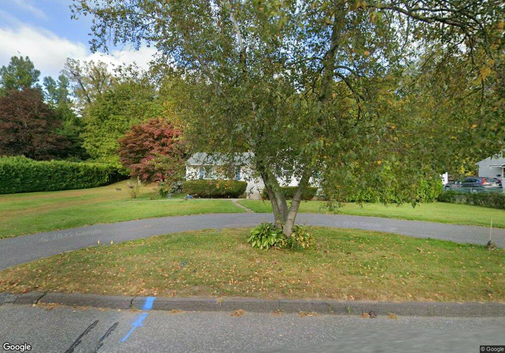
321 Jarvis Ave Holyoke, MA 01040
Estimated Value: $303,107 - $353,000
3
Beds
2
Baths
1,512
Sq Ft
$224/Sq Ft
Est. Value
About This Home
This home is located at 321 Jarvis Ave, Holyoke, MA 01040 and is currently estimated at $339,277, approximately $224 per square foot. 321 Jarvis Ave is a home located in Hampden County with nearby schools including Harriet Bishop Elementary School, Lt. Clayre Sullivan Elementary School, and Holyoke High School.
Ownership History
Date
Name
Owned For
Owner Type
Purchase Details
Closed on
Apr 27, 2015
Sold by
Bresnahan Liliane E
Bought by
Bresnahan Ralph J and Bresnahan Louise A
Current Estimated Value
Purchase Details
Closed on
Mar 12, 2013
Sold by
Bresnahan Ralph J and Bresnahan Louise A
Bought by
Bresnahan Liliane E
Purchase Details
Closed on
Aug 10, 2012
Sold by
Bresnahan George J and Bresnahan Liliane E
Bought by
Bresnahan Ralph J and Bresnahan Louise A
Purchase Details
Closed on
Oct 1, 1965
Bought by
Bresnahan Ralph J and Bresnahan Louise A
Create a Home Valuation Report for This Property
The Home Valuation Report is an in-depth analysis detailing your home's value as well as a comparison with similar homes in the area
Home Values in the Area
Average Home Value in this Area
Purchase History
| Date | Buyer | Sale Price | Title Company |
|---|---|---|---|
| Bresnahan Ralph J | -- | -- | |
| Bresnahan Liliane E | -- | -- | |
| Bresnahan Ralph J | -- | -- | |
| Bresnahan Ralph J | -- | -- |
Source: Public Records
Tax History Compared to Growth
Tax History
| Year | Tax Paid | Tax Assessment Tax Assessment Total Assessment is a certain percentage of the fair market value that is determined by local assessors to be the total taxable value of land and additions on the property. | Land | Improvement |
|---|---|---|---|---|
| 2025 | $4,440 | $254,300 | $56,300 | $198,000 |
| 2024 | $4,180 | $220,600 | $53,600 | $167,000 |
| 2023 | $4,002 | $213,300 | $53,600 | $159,700 |
| 2022 | $3,869 | $200,900 | $53,600 | $147,300 |
| 2021 | $3,011 | $190,900 | $51,300 | $139,600 |
| 2020 | $3,446 | $180,600 | $51,300 | $129,300 |
| 2019 | $2,746 | $171,300 | $51,300 | $120,000 |
| 2018 | $2,881 | $165,100 | $51,300 | $113,800 |
| 2017 | $2,676 | $165,100 | $51,300 | $113,800 |
| 2016 | $3,132 | $163,800 | $53,000 | $110,800 |
| 2015 | $3,119 | $163,800 | $53,000 | $110,800 |
Source: Public Records
Map
Nearby Homes
- 23 Scott Hollow Dr
- 33 Maple Crest Cir Unit D
- 15 Maple Crest Cir Unit D
- 34 Maple Crest Cir Unit B
- 89 Jarvis Ave
- 46 Cherry Hill
- 1705-1707 Northampton St
- 1678 Northampton St
- 104 Saint James Ave
- 1793 Northampton St
- 42 Arnodale Ave
- 78 Calumet Rd
- 43 King St
- 55 Longfellow Rd
- 15 Chapman Ave
- 1225 Hampden St
- 268-270 Sargeant St
- 12 Saint James Ave
- 1114 Hampden St
- 11 Longfellow Rd