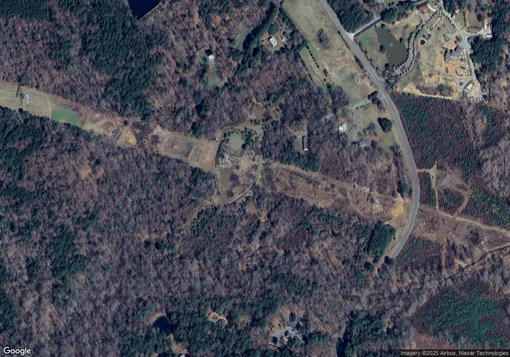
321 L C Farm Rd Pittsboro, NC 27312
Estimated Value: $470,000 - $638,000
2
Beds
1
Bath
1,200
Sq Ft
$458/Sq Ft
Est. Value
About This Home
This home is located at 321 L C Farm Rd, Pittsboro, NC 27312 and is currently estimated at $549,688, approximately $458 per square foot. 321 L C Farm Rd is a home located in Chatham County with nearby schools including Perry W. Harrison Elementary School, Margaret B. Pollard Middle School, and Northwood High.
Ownership History
Date
Name
Owned For
Owner Type
Purchase Details
Closed on
Aug 24, 2023
Sold by
Cooper Linda Faye
Bought by
Mann Karl
Current Estimated Value
Purchase Details
Closed on
Aug 27, 2009
Sold by
Rbc Real Estate Finance Inc
Bought by
Mohr Barbara Adcock
Purchase Details
Closed on
Dec 31, 1996
Bought by
Cooper Linda Faye
Create a Home Valuation Report for This Property
The Home Valuation Report is an in-depth analysis detailing your home's value as well as a comparison with similar homes in the area
Home Values in the Area
Average Home Value in this Area
Purchase History
| Date | Buyer | Sale Price | Title Company |
|---|---|---|---|
| Mann Karl | -- | None Listed On Document | |
| Mann Karl | -- | None Listed On Document | |
| Mohr Barbara Adcock | $250,000 | None Available | |
| Cooper Linda Faye | -- | -- |
Source: Public Records
Tax History Compared to Growth
Tax History
| Year | Tax Paid | Tax Assessment Tax Assessment Total Assessment is a certain percentage of the fair market value that is determined by local assessors to be the total taxable value of land and additions on the property. | Land | Improvement |
|---|---|---|---|---|
| 2025 | $2,726 | $394,455 | $331,739 | $62,716 |
| 2024 | $2,726 | $319,872 | $280,546 | $39,326 |
| 2023 | $2,628 | $354,366 | $315,040 | $39,326 |
| 2022 | $2,700 | $354,366 | $315,040 | $39,326 |
| 2021 | $2,564 | $354,366 | $315,040 | $39,326 |
| 2020 | $2,999 | $382,213 | $333,278 | $48,935 |
| 2019 | $3,099 | $382,213 | $333,278 | $48,935 |
| 2018 | $2,819 | $382,213 | $333,278 | $48,935 |
| 2017 | $3,740 | $477,382 | $343,178 | $134,204 |
| 2016 | $3,408 | $428,577 | $311,980 | $116,597 |
| 2015 | $3,357 | $428,577 | $311,980 | $116,597 |
| 2014 | $3,092 | $428,577 | $311,980 | $116,597 |
| 2013 | -- | $428,577 | $311,980 | $116,597 |
Source: Public Records
Map
Nearby Homes
- 2430 Jones Ferry Rd
- 0 Jones Ferry Rd Unit 10129534
- 4025 Hamlets Chapel Rd
- 0 Bygone Way
- 196 Paces Mill Trail
- 466 Cedar Grove Rd
- 1278 Cedar Grove Rd
- 1321 Cedar Grove Rd
- 67 Ada Ct
- 121 Pheasant Ct
- 50 Harrison Pond Dr
- L2-37 Lamont Norwood Rd
- 0 Crawford Dairy Rd Unit 10090315
- 114 Margaret Mann Way
- 59 Mill Rd
- 236 Emelia Ln
- 75 Kenwood Ln
- 93 Kenwood Ln
- 334 Blufftonwood Dr Unit 45
- 170 Kenwood Ln
- 118 Crows Creek Rd
- 160 Crows Creek Rd
- 32 Crows Creek Rd
- 81 Crows Creek Rd
- 161 Crows Creek Rd
- 150 Carlton Mann Rd
- 31 L C Farm Rd
- 43 Carlton Mann Rd
- 432 Jones Ferry Rd
- 434 Jones Ferry Rd
- 500 Jones Ferry Rd Unit 1,2,3
- 500 Jones Ferry Rd
- 318 Jones Ferry Rd
- 243 Jones Ferry Rd
- 1023 Jones Ferry Rd
- 1031 Jones Ferry Rd
- 220 Jones Ferry Rd
- 75 Eagle Point Rd
- 470 Nicks Bend E
- 1095 Jones Ferry Rd
