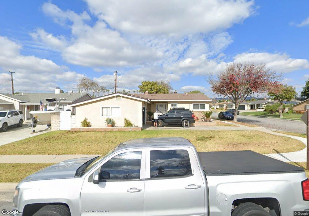
321 Oakland Dr La Habra, CA 90631
Estimated Value: $814,641 - $871,000
3
Beds
2
Baths
1,242
Sq Ft
$682/Sq Ft
Est. Value
About This Home
This home is located at 321 Oakland Dr, La Habra, CA 90631 and is currently estimated at $846,910, approximately $681 per square foot. 321 Oakland Dr is a home located in Orange County with nearby schools including Jordan Elementary School, Rancho-Starbuck Intermediate School, and La Habra High School.
Ownership History
Date
Name
Owned For
Owner Type
Purchase Details
Closed on
Dec 8, 2010
Sold by
Corona Yolanda
Bought by
Corona Robert
Current Estimated Value
Home Financials for this Owner
Home Financials are based on the most recent Mortgage that was taken out on this home.
Original Mortgage
$215,000
Outstanding Balance
$74,740
Interest Rate
4.18%
Mortgage Type
New Conventional
Estimated Equity
$772,170
Purchase Details
Closed on
Mar 20, 1996
Sold by
Masciere Margaret E
Bought by
Corona Robert and Corona Yolanda
Home Financials for this Owner
Home Financials are based on the most recent Mortgage that was taken out on this home.
Original Mortgage
$156,749
Interest Rate
7.41%
Mortgage Type
FHA
Create a Home Valuation Report for This Property
The Home Valuation Report is an in-depth analysis detailing your home's value as well as a comparison with similar homes in the area
Home Values in the Area
Average Home Value in this Area
Purchase History
| Date | Buyer | Sale Price | Title Company |
|---|---|---|---|
| Corona Robert | -- | Lawyers Title | |
| Corona Robert | $160,000 | Chicago Title Company |
Source: Public Records
Mortgage History
| Date | Status | Borrower | Loan Amount |
|---|---|---|---|
| Open | Corona Robert | $215,000 | |
| Closed | Corona Robert | $156,749 |
Source: Public Records
Tax History Compared to Growth
Tax History
| Year | Tax Paid | Tax Assessment Tax Assessment Total Assessment is a certain percentage of the fair market value that is determined by local assessors to be the total taxable value of land and additions on the property. | Land | Improvement |
|---|---|---|---|---|
| 2025 | $3,113 | $265,786 | $185,860 | $79,926 |
| 2024 | $3,113 | $260,575 | $182,216 | $78,359 |
| 2023 | $3,035 | $255,466 | $178,643 | $76,823 |
| 2022 | $3,000 | $250,457 | $175,140 | $75,317 |
| 2021 | $2,941 | $245,547 | $171,706 | $73,841 |
| 2020 | $2,932 | $243,030 | $169,946 | $73,084 |
| 2019 | $2,866 | $238,265 | $166,614 | $71,651 |
| 2018 | $2,758 | $233,594 | $163,347 | $70,247 |
| 2017 | $2,709 | $229,014 | $160,144 | $68,870 |
| 2016 | $2,653 | $224,524 | $157,004 | $67,520 |
| 2015 | $2,581 | $221,152 | $154,646 | $66,506 |
| 2014 | $2,502 | $216,820 | $151,616 | $65,204 |
Source: Public Records
Map
Nearby Homes
- 2641 Stanton Ave
- 240 Oakland Dr
- 16621 Crape Myrtle Ln
- 2420 Sidon Ave
- 11636 Tigrina Ave
- 2611 Gregory Ln
- 16321 Sugargrove Dr
- 2000 Baja Ave
- 1921 Pine Dr
- 530 Spruce Way
- 2100 Gregory Ln
- 11518 1st Ave
- 11315 Groveside Ave
- 16540 Whittier Blvd
- 1675 W Lambert Rd Unit 22
- 1731 W Lambert Rd Unit 91
- 1731 W Lambert Rd Unit 61
- 1731 W Lambert Rd Unit 62
- 16040 Leffingwell Rd Unit 92
- 16040 Leffingwell Rd Unit 103
- 2541 Stanton Ave
- 301 Oakland Dr
- 2540 Bruce Ln
- 2601 Stanton Ave
- 320 Oakland Dr
- 340 Oakland Dr
- 2530 Stanton Ave
- 2540 Stanton Ave
- 300 Oakland Dr
- 350 Oakland Dr
- 2611 Stanton Ave
- 2600 Bruce Ln
- 2600 Stanton Ave
- 280 Oakland Dr
- 360 Oakland Dr
- 321 Marie St
- 2621 Stanton Ave
- 2610 Stanton Ave
- 341 Marie St
- 380 Oakland Dr