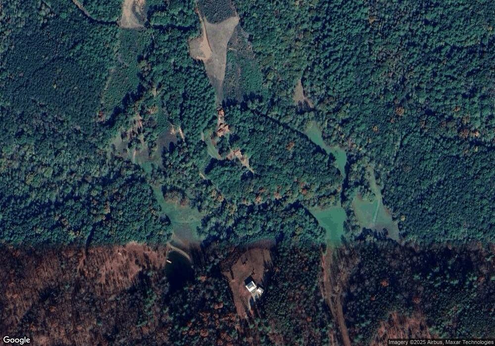
321 Smawley Rd Bostic, NC 28018
Estimated Value: $311,431 - $328,000
2
Beds
2
Baths
1,192
Sq Ft
$269/Sq Ft
Est. Value
About This Home
This home is located at 321 Smawley Rd, Bostic, NC 28018 and is currently estimated at $320,608, approximately $268 per square foot. 321 Smawley Rd is a home with nearby schools including Sunshine Elementary School, East Rutherford Middle School, and East Rutherford High School.
Ownership History
Date
Name
Owned For
Owner Type
Purchase Details
Closed on
Oct 26, 2016
Sold by
Tolhurst John T and Tolhurst Arnette
Bought by
Mcninch Grant and Mcninch Frances J
Current Estimated Value
Home Financials for this Owner
Home Financials are based on the most recent Mortgage that was taken out on this home.
Original Mortgage
$100,000
Outstanding Balance
$80,485
Interest Rate
3.5%
Mortgage Type
New Conventional
Estimated Equity
$240,123
Create a Home Valuation Report for This Property
The Home Valuation Report is an in-depth analysis detailing your home's value as well as a comparison with similar homes in the area
Home Values in the Area
Average Home Value in this Area
Purchase History
| Date | Buyer | Sale Price | Title Company |
|---|---|---|---|
| Mcninch Grant | $146,000 | None Available |
Source: Public Records
Mortgage History
| Date | Status | Borrower | Loan Amount |
|---|---|---|---|
| Open | Mcninch Grant | $100,000 |
Source: Public Records
Tax History Compared to Growth
Tax History
| Year | Tax Paid | Tax Assessment Tax Assessment Total Assessment is a certain percentage of the fair market value that is determined by local assessors to be the total taxable value of land and additions on the property. | Land | Improvement |
|---|---|---|---|---|
| 2025 | $1,466 | $246,600 | $27,800 | $218,800 |
| 2024 | $1,397 | $246,600 | $27,800 | $218,800 |
| 2023 | $1,092 | $246,600 | $27,800 | $218,800 |
| 2022 | $1,092 | $145,900 | $18,000 | $127,900 |
| 2021 | $1,087 | $145,900 | $18,000 | $127,900 |
| 2020 | $1,087 | $145,900 | $18,000 | $127,900 |
| 2019 | $1,079 | $145,900 | $18,000 | $127,900 |
| 2018 | $924 | $122,800 | $18,000 | $104,800 |
| 2016 | $902 | $122,800 | $18,000 | $104,800 |
| 2013 | -- | $122,800 | $18,000 | $104,800 |
Source: Public Records
Map
Nearby Homes
- 980 Mountain Forest Dr
- 0 Mountain Lookout Dr Unit Lot 82 CAR4267441
- 0 Mountain Lookout Dr Unit 35 CAR4298386
- 485 Mountain Lookout Dr
- 0 Cane Creek Mountain Rd Unit CAR4242016
- 22 Mountain Lookout Dr
- 30 Mountain Lookout Dr
- 0 Cane Creek Mountain Rd Lot Unit WP001
- 0 Idlewild Ln
- 311 Mountain Lookout Dr
- 0 Camp McCall Rd Unit 24341258
- 0 Camp McCall Rd Unit CAR4287266
- 649 Fire Tower Rd
- 146 S Branch Dr
- 0 Pioneer Gate Dr Unit 55
- 0 Pinegrove Dr
- 643 Woodgate Dr Unit 40
- 00 Grouse Ridge Dr
- 0 Woodgate Dr Unit 46
- 0 Woodgate Dr Unit 41 CAR4100908
- 319 Smawley Rd
- 811 Kything Ridge
- 0 Cane Creek Mountain Rd Unit 11B 3394950
- 0 Cane Creek Mountain Rd Unit 2 3300866
- 0 Cane Creek Mountain Rd Unit 3 3300839
- 0 Cane Creek Mountain Rd Unit 3 3696603
- 0 Cane Creek Mountain Rd Unit 3696602
- 0 Cane Creek Mountain Rd Unit 3513609
- 0 Cane Creek Mountain Rd Unit 60928
- 570 Smawley Rd
- 0 Smawley Rd
- 164 Heritage Ln Unit 168
- 163 Heritage Ln
- 911 Mountain Lookout Dr
- 1858 Cane Creek Mountain Rd
- 1027 Mountain Lookout Dr
- 1486 Cane Creek Mountain Rd
- 1058 Mountain Lookout Dr
- 1890 Cane Creek Mountain Rd
- 718 Mountain Lookout Dr
