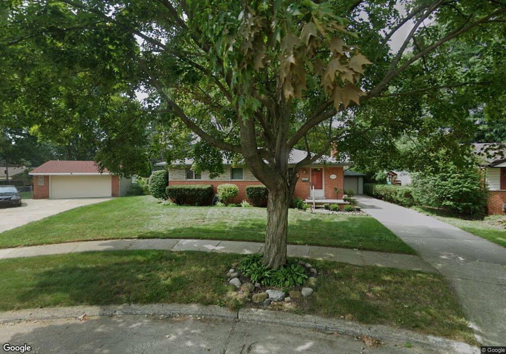
32229 Jamison Ct Livonia, MI 48154
Estimated Value: $248,028 - $358,000
--
Bed
2
Baths
1,060
Sq Ft
$272/Sq Ft
Est. Value
About This Home
This home is located at 32229 Jamison Ct, Livonia, MI 48154 and is currently estimated at $288,507, approximately $272 per square foot. 32229 Jamison Ct is a home located in Wayne County with nearby schools including Kennedy Elementary School, Johnson Upper Elementary School, and Frost Middle School.
Ownership History
Date
Name
Owned For
Owner Type
Purchase Details
Closed on
Apr 11, 2006
Sold by
Bourlier Diana J and Bourlier Paul Allen
Bought by
Bourlier Diana and Diana Bourlier Revocable Living Trust
Current Estimated Value
Purchase Details
Closed on
Mar 1, 2006
Sold by
Bourlier Diana J and Bourlier Paul Allen
Bought by
Bourlier Diana J and Diana J Bourlier Living Trust
Purchase Details
Closed on
May 8, 1996
Sold by
Bourlie Paul A and Bourlie Diana
Bought by
Ferrara Daniel and Ferrara Barbara
Create a Home Valuation Report for This Property
The Home Valuation Report is an in-depth analysis detailing your home's value as well as a comparison with similar homes in the area
Home Values in the Area
Average Home Value in this Area
Purchase History
| Date | Buyer | Sale Price | Title Company |
|---|---|---|---|
| Bourlier Diana | -- | Multiple | |
| Bourlier Diana J | -- | None Available | |
| Ferrara Daniel | $120,086 | -- |
Source: Public Records
Tax History Compared to Growth
Tax History
| Year | Tax Paid | Tax Assessment Tax Assessment Total Assessment is a certain percentage of the fair market value that is determined by local assessors to be the total taxable value of land and additions on the property. | Land | Improvement |
|---|---|---|---|---|
| 2025 | $1,487 | $117,900 | $0 | $0 |
| 2024 | $1,487 | $111,000 | $0 | $0 |
| 2023 | $1,419 | $99,100 | $0 | $0 |
| 2022 | $2,491 | $91,600 | $0 | $0 |
| 2021 | $2,420 | $87,800 | $0 | $0 |
| 2019 | $2,321 | $76,100 | $0 | $0 |
| 2018 | $1,199 | $68,400 | $0 | $0 |
| 2017 | $2,123 | $64,300 | $0 | $0 |
| 2016 | $2,232 | $64,300 | $0 | $0 |
| 2015 | $5,183 | $57,060 | $0 | $0 |
| 2012 | -- | $50,190 | $13,620 | $36,570 |
Source: Public Records
Map
Nearby Homes
- 15075 Hubbard St Unit 5
- 15040 Berwick St
- 32136 Lyndon St
- 14677 Auburndale St
- 14563 Melrose St
- 32651 5 Mile Rd Unit 15
- 14214 Cranston St
- 14327 Arden St
- 32925 Martin St
- 33040 Allen St
- 15600 Auburndale St
- 33025 Martin St
- 31221 Lyndon St
- 31126 Grennada St
- 32950 Perth St
- 31005 Roycroft St
- 15345 Bainbridge St
- 14292 Hubbell St
- 14164 Bainbridge St
- 30831 Lyndon St
- 32235 Jamison Ct
- 32223 Jamison Ct
- 32284 Meadowbrook St
- 32272 Meadowbrook St
- 32296 Meadowbrook St
- 32260 Meadowbrook St
- 32217 Jamison Ct
- 32174 Meadowbrook St
- 0 Jamison Ct
- 32186 Meadowbrook St
- 32162 Meadowbrook St
- 32202 Meadowbrook St
- 32209 Jamison Ct
- 32205 Jamison Ct
- 32150 Meadowbrook St Unit Bldg-Unit
- 32150 Meadowbrook St
- 32283 Meadowbrook St
- 32138 Meadowbrook St
- 32271 Meadowbrook St
- 32259 Meadowbrook St