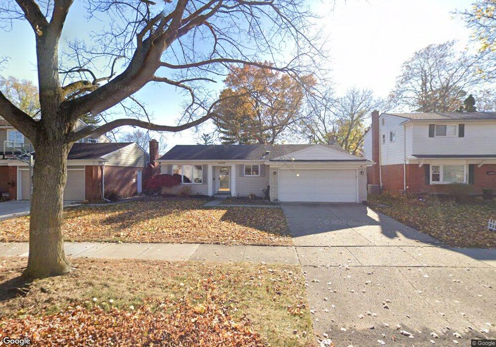
32535 Lyndon St Livonia, MI 48154
Estimated Value: $299,692 - $341,000
--
Bed
2
Baths
1,480
Sq Ft
$221/Sq Ft
Est. Value
About This Home
This home is located at 32535 Lyndon St, Livonia, MI 48154 and is currently estimated at $327,173, approximately $221 per square foot. 32535 Lyndon St is a home located in Wayne County with nearby schools including Kennedy Elementary School, Johnson Upper Elementary School, and Frost Middle School.
Ownership History
Date
Name
Owned For
Owner Type
Purchase Details
Closed on
Dec 30, 2004
Sold by
Adams Joseph B and Adams Terese M
Bought by
32535 Lyndon Llc
Current Estimated Value
Purchase Details
Closed on
Apr 1, 2003
Sold by
Coleman Terese
Bought by
Adams Joseph B
Home Financials for this Owner
Home Financials are based on the most recent Mortgage that was taken out on this home.
Original Mortgage
$105,000
Interest Rate
5.69%
Mortgage Type
Purchase Money Mortgage
Create a Home Valuation Report for This Property
The Home Valuation Report is an in-depth analysis detailing your home's value as well as a comparison with similar homes in the area
Home Values in the Area
Average Home Value in this Area
Purchase History
| Date | Buyer | Sale Price | Title Company |
|---|---|---|---|
| 32535 Lyndon Llc | -- | -- | |
| Adams Joseph B | -- | Moon Title |
Source: Public Records
Mortgage History
| Date | Status | Borrower | Loan Amount |
|---|---|---|---|
| Previous Owner | Adams Joseph B | $105,000 |
Source: Public Records
Tax History Compared to Growth
Tax History
| Year | Tax Paid | Tax Assessment Tax Assessment Total Assessment is a certain percentage of the fair market value that is determined by local assessors to be the total taxable value of land and additions on the property. | Land | Improvement |
|---|---|---|---|---|
| 2025 | $2,878 | $148,900 | $0 | $0 |
| 2024 | $2,878 | $140,900 | $0 | $0 |
| 2023 | $2,737 | $125,800 | $0 | $0 |
| 2022 | $4,923 | $116,000 | $0 | $0 |
| 2021 | $4,777 | $111,600 | $0 | $0 |
| 2019 | $4,596 | $100,200 | $0 | $0 |
| 2018 | $2,334 | $92,600 | $0 | $0 |
| 2017 | $4,262 | $87,700 | $0 | $0 |
| 2016 | $4,399 | $87,700 | $0 | $0 |
| 2015 | $7,100 | $77,530 | $0 | $0 |
| 2012 | -- | $68,570 | $15,900 | $52,670 |
Source: Public Records
Map
Nearby Homes
- 32136 Lyndon St
- 14214 Cranston St
- 33040 Allen St
- 33025 Martin St
- 14879 Fairfield St
- 32950 Perth St
- 15075 Hubbard St Unit 5
- 14677 Auburndale St
- 14563 Melrose St
- 14327 Arden St
- 15040 Berwick St
- 32651 5 Mile Rd Unit 15
- 31126 Grennada St
- 31221 Lyndon St
- 14164 Bainbridge St
- 14292 Hubbell St
- 14154 Hubbell St
- 15600 Auburndale St
- 30831 Lyndon St
- 15873 Shadyside Dr
- 32521 Lyndon St
- 32611 Lyndon St
- 32507 Lyndon St
- 32623 Lyndon St
- 32500 Allen Ct
- 32503 Allen Ct
- 32655 Lyndon St
- 32536 Lyndon St
- 32522 Lyndon St
- 32612 Lyndon St
- 32687 Lyndon St
- 32460 Allen Ct
- 32508 Lyndon St
- 32626 Lyndon St
- 32421 Lyndon St Unit Bldg-Unit
- 32421 Lyndon St
- 14388 Brookfield St
- 32483 Allen Ct
- 32444 Lyndon St
- 14465 Hubbard St