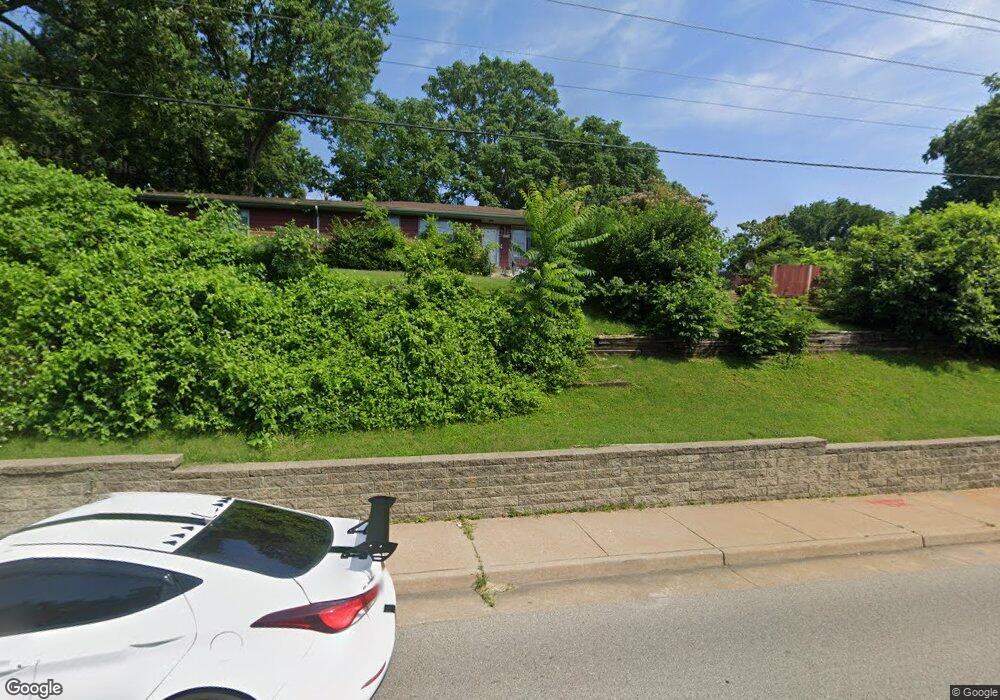
3255 S Brentwood Blvd Saint Louis, MO 63119
Estimated Value: $292,098 - $345,000
3
Beds
3
Baths
2,167
Sq Ft
$144/Sq Ft
Est. Value
About This Home
This home is located at 3255 S Brentwood Blvd, Saint Louis, MO 63119 and is currently estimated at $311,775, approximately $143 per square foot. 3255 S Brentwood Blvd is a home located in St. Louis County with nearby schools including Avery Elementary School, Hixson Middle School, and Webster Groves High School.
Ownership History
Date
Name
Owned For
Owner Type
Purchase Details
Closed on
May 27, 2025
Sold by
Hoard Michael W and Hoard Diana L
Bought by
Onder Properties Llc
Current Estimated Value
Purchase Details
Closed on
May 7, 2025
Sold by
Hoard Joseph W and Onder Properties Llc
Bought by
Onder Properties Llc
Purchase Details
Closed on
Apr 25, 1997
Sold by
Hoard Joseph W and Hoard Michael W
Bought by
Hoard Joseph W
Home Financials for this Owner
Home Financials are based on the most recent Mortgage that was taken out on this home.
Original Mortgage
$25,000
Interest Rate
7.92%
Create a Home Valuation Report for This Property
The Home Valuation Report is an in-depth analysis detailing your home's value as well as a comparison with similar homes in the area
Home Values in the Area
Average Home Value in this Area
Purchase History
| Date | Buyer | Sale Price | Title Company |
|---|---|---|---|
| Onder Properties Llc | -- | None Listed On Document | |
| Onder Properties Llc | -- | None Listed On Document | |
| Hoard Joseph W | -- | Capital Title |
Source: Public Records
Mortgage History
| Date | Status | Borrower | Loan Amount |
|---|---|---|---|
| Previous Owner | Hoard Joseph W | $25,000 |
Source: Public Records
Tax History Compared to Growth
Tax History
| Year | Tax Paid | Tax Assessment Tax Assessment Total Assessment is a certain percentage of the fair market value that is determined by local assessors to be the total taxable value of land and additions on the property. | Land | Improvement |
|---|---|---|---|---|
| 2025 | $2,671 | $43,700 | $23,310 | $20,390 |
| 2024 | $2,671 | $38,020 | $17,480 | $20,540 |
| 2023 | $2,671 | $38,020 | $17,480 | $20,540 |
| 2022 | $2,621 | $34,810 | $14,570 | $20,240 |
| 2021 | $2,612 | $34,810 | $14,570 | $20,240 |
| 2020 | $2,520 | $31,270 | $11,150 | $20,120 |
| 2019 | $2,502 | $31,270 | $11,150 | $20,120 |
| 2018 | $2,672 | $29,700 | $7,010 | $22,690 |
| 2017 | $2,655 | $29,700 | $7,010 | $22,690 |
| 2016 | $2,709 | $29,070 | $6,160 | $22,910 |
| 2015 | $2,715 | $29,070 | $6,160 | $22,910 |
| 2014 | $3,337 | $34,830 | $11,500 | $23,330 |
Source: Public Records
Map
Nearby Homes
- 546 Holland Ave
- 112 Oakwood Ave
- 617 N Elm Ave
- 814 Holland Ave
- 827 Cornell Ave
- 218 Euclid Ave
- 441 Park Rd
- 136 N Gore Ave
- 901 Ennis Ave
- 1013 Bell Ave
- 610 Cornelia Ave
- 330 Lithia Ave
- 2918 Wingate Ct
- 619 N Bompart Ave
- 2935 Greentop Ct
- 8908 W Pendleton Ave
- 2904 Collier Ave
- 2911 Brazeau Ave
- 529 Cyril Dr
- 404 W Kirkham Ave
- 526 Holland Ave
- 530 Holland Ave
- 522 Holland Ave
- 532 Holland Ave
- 516 Holland Ave
- 536 Holland Ave
- 540 Holland Ave
- 512 Holland Ave
- 4 Douglass Manor Ct
- 5 Douglass Manor Ct
- 34 Fox Place
- 543 Holland Ave
- 513 Holland Ave
- 550 Holland Ave
- 205 Newport Ave
- 2 Douglass Manor Ct
- 201 Newport Ave
- 549 Walker Ave
- 3247 S Brentwood Blvd
- 511 Holland Ave