Estimated Value: $399,000 - $504,295
--
Bed
5
Baths
1,824
Sq Ft
$247/Sq Ft
Est. Value
About This Home
This home is located at 326 County Road 142, Alvin, TX 77511 and is currently estimated at $450,074, approximately $246 per square foot. 326 County Road 142 is a home located in Brazoria County with nearby schools including G.W. Harby Junior High School, Alvin High School, and Living Stones Christian School.
Ownership History
Date
Name
Owned For
Owner Type
Purchase Details
Closed on
Dec 15, 2005
Sold by
Petrick Connie
Bought by
Bauer Russel E
Current Estimated Value
Home Financials for this Owner
Home Financials are based on the most recent Mortgage that was taken out on this home.
Original Mortgage
$157,410
Outstanding Balance
$88,072
Interest Rate
6.29%
Mortgage Type
Fannie Mae Freddie Mac
Estimated Equity
$362,002
Create a Home Valuation Report for This Property
The Home Valuation Report is an in-depth analysis detailing your home's value as well as a comparison with similar homes in the area
Home Values in the Area
Average Home Value in this Area
Purchase History
| Date | Buyer | Sale Price | Title Company |
|---|---|---|---|
| Bauer Russel E | -- | Stewart Title Brazoria |
Source: Public Records
Mortgage History
| Date | Status | Borrower | Loan Amount |
|---|---|---|---|
| Open | Bauer Russel E | $157,410 |
Source: Public Records
Tax History Compared to Growth
Tax History
| Year | Tax Paid | Tax Assessment Tax Assessment Total Assessment is a certain percentage of the fair market value that is determined by local assessors to be the total taxable value of land and additions on the property. | Land | Improvement |
|---|---|---|---|---|
| 2025 | $1,906 | $417,707 | $179,200 | $303,790 |
| 2023 | $1,906 | $345,213 | $215,040 | $267,518 |
| 2022 | $6,687 | $313,830 | $188,160 | $161,880 |
| 2021 | $6,331 | $285,300 | $174,720 | $110,580 |
| 2020 | $6,072 | $270,000 | $161,280 | $108,720 |
| 2019 | $5,788 | $250,000 | $134,400 | $115,600 |
| 2018 | $5,733 | $247,000 | $161,280 | $85,720 |
| 2017 | $5,731 | $302,170 | $154,560 | $147,610 |
| 2016 | $5,210 | $229,260 | $86,400 | $142,860 |
| 2014 | $2,983 | $197,420 | $72,000 | $125,420 |
Source: Public Records
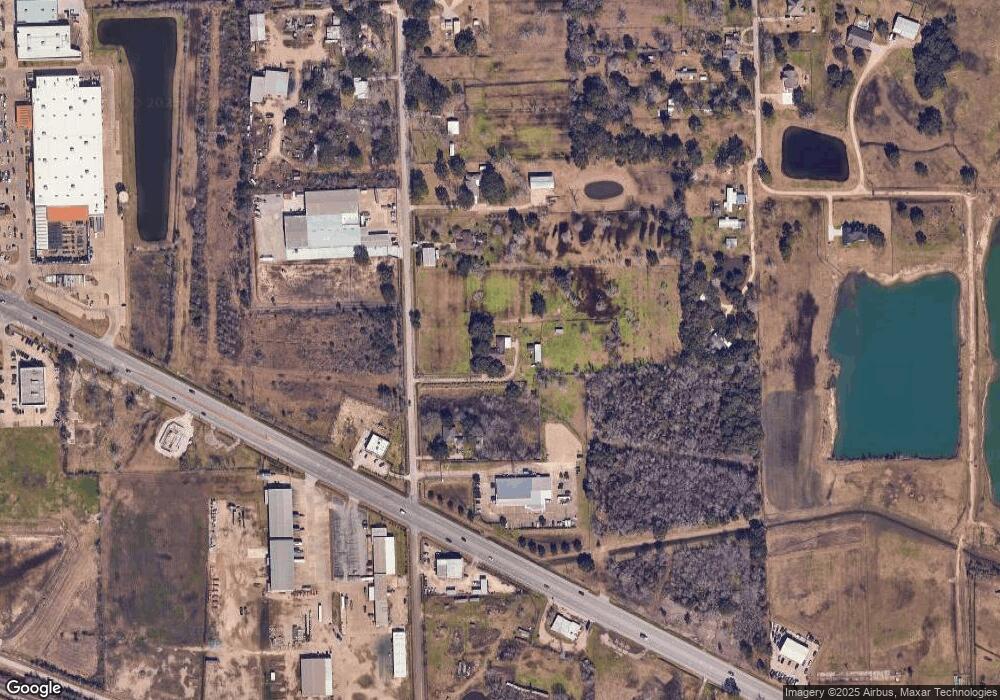
Map
Nearby Homes
- 1483 E Highway 6
- 2702 Silver Maple Dr
- 3373 E Highway 6
- 3150 E Highway 6
- 2002 E Highway 6
- 3610 E Highway 6
- 1018 Bluegill Ln
- 1021 Bluegill Dr
- 1016 Bluegill Dr
- 1024 Bluegill Ln
- Estero Plan at Watermark
- Franklin Plan at Watermark
- Barton Plan at Watermark
- Davis Plan at Watermark
- Caprock Plan at Watermark
- Atlanta Plan at Watermark
- 1010 Bluegill Ln
- 1009 Bluegill Ln
- 1017 Bluegill Ln
- 860 Farm To Market Road 517
- 455 Chestnut St
- 2525 E Highway 6
- 366 County Road 142
- 358 County Road 142
- 19905 E Highway 6
- 1000 E Highway 6
- 701 E Highway 6
- 405 E Highway 6
- 17200 E Highway 6
- 295 County Road 545
- 376 County Road 142
- 2715 Silver Maple Dr
- 4906 Shadow Pond Ln
- 4902 Shadow Pond Ln
- 4807 Shadow Pond Ln
- 2710 Silver Maple Dr
- 2706 Silver Maple Dr
- 2702 Silver Maple Dr
- 2715 Silver Maple Dr
- 4807 Shadow Pond Ln