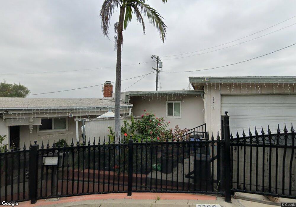
3266 Kenneth Dr Los Angeles, CA 90032
El Sereno NeighborhoodEstimated Value: $876,000 - $1,123,000
3
Beds
2
Baths
1,795
Sq Ft
$580/Sq Ft
Est. Value
About This Home
This home is located at 3266 Kenneth Dr, Los Angeles, CA 90032 and is currently estimated at $1,041,978, approximately $580 per square foot. 3266 Kenneth Dr is a home located in Los Angeles County with nearby schools including Huntington Drive Elementary School, El Sereno Middle School, and Abraham Lincoln High School.
Ownership History
Date
Name
Owned For
Owner Type
Purchase Details
Closed on
Aug 26, 1997
Sold by
Bankers Trust Company
Bought by
Vela Agustin and Vela Angie
Current Estimated Value
Home Financials for this Owner
Home Financials are based on the most recent Mortgage that was taken out on this home.
Original Mortgage
$139,366
Interest Rate
7.36%
Mortgage Type
FHA
Purchase Details
Closed on
Oct 7, 1996
Sold by
Rosana Cecilia E and Quality Mtg Inc
Bought by
Bankers Trust Company
Create a Home Valuation Report for This Property
The Home Valuation Report is an in-depth analysis detailing your home's value as well as a comparison with similar homes in the area
Home Values in the Area
Average Home Value in this Area
Purchase History
| Date | Buyer | Sale Price | Title Company |
|---|---|---|---|
| Vela Agustin | $141,500 | First Southwestern Title Co | |
| Bankers Trust Company | $137,090 | First Southwestern Title Co |
Source: Public Records
Mortgage History
| Date | Status | Borrower | Loan Amount |
|---|---|---|---|
| Previous Owner | Vela Agustin | $139,366 |
Source: Public Records
Tax History Compared to Growth
Tax History
| Year | Tax Paid | Tax Assessment Tax Assessment Total Assessment is a certain percentage of the fair market value that is determined by local assessors to be the total taxable value of land and additions on the property. | Land | Improvement |
|---|---|---|---|---|
| 2025 | $2,994 | $225,589 | $157,743 | $67,846 |
| 2024 | $2,994 | $221,166 | $154,650 | $66,516 |
| 2023 | $2,941 | $216,830 | $151,618 | $65,212 |
| 2022 | $2,812 | $212,580 | $148,646 | $63,934 |
| 2021 | $2,770 | $208,413 | $145,732 | $62,681 |
| 2019 | $2,692 | $202,233 | $141,410 | $60,823 |
| 2018 | $2,615 | $198,269 | $138,638 | $59,631 |
| 2016 | $2,484 | $190,571 | $133,255 | $57,316 |
| 2015 | $2,450 | $187,710 | $131,254 | $56,456 |
| 2014 | $2,467 | $184,034 | $128,683 | $55,351 |
Source: Public Records
Map
Nearby Homes
- 3215 Betty Dr
- 4750 Templeton St Unit 1211
- 4540 Cato Way
- 3306 Minto Ct
- 4755 Templeton St Unit 2117
- 3303 Paola Ave
- 4669 Huntington Dr N
- 4665 Huntington Dr N
- 4682 Paula St
- 4534 Amber Place
- 4003 N Drysdale
- 3544 Yorba St
- 4619 E Cassatt St
- 4392 O Neill St
- 3113 N Eastern Ave
- 3723 Oak Hill Ave
- 3623 1/2 Armour Ave Unit 6
- 4365 O Neill St
- 2929 N Amethyst St
- 4836 Edison St