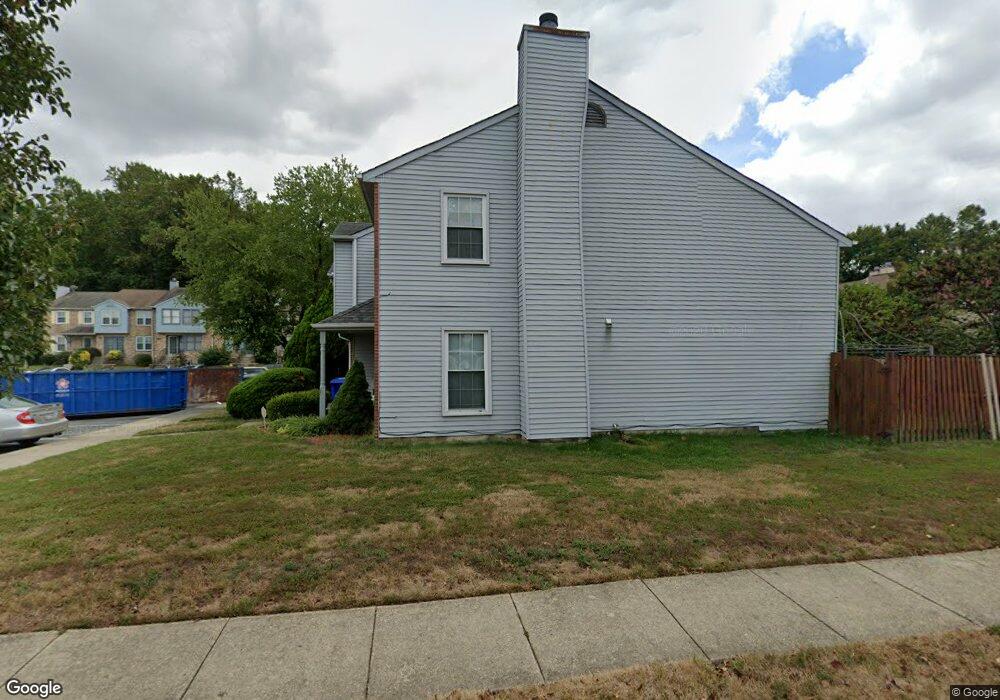
3278 Westdale Ct Waldorf, MD 20601
Estimated Value: $296,034 - $324,000
--
Bed
2
Baths
1,340
Sq Ft
$234/Sq Ft
Est. Value
About This Home
This home is located at 3278 Westdale Ct, Waldorf, MD 20601 and is currently estimated at $313,509, approximately $233 per square foot. 3278 Westdale Ct is a home located in Charles County with nearby schools including Daniel of St. Thomas Jenifer Elementary School, Mattawoman Middle School, and Thomas Stone High School.
Ownership History
Date
Name
Owned For
Owner Type
Purchase Details
Closed on
Apr 12, 2012
Sold by
Miller Arnold B
Bought by
Miller Arnold B
Current Estimated Value
Purchase Details
Closed on
Dec 27, 1994
Sold by
Gr Williams
Bought by
Miller Arnold B
Home Financials for this Owner
Home Financials are based on the most recent Mortgage that was taken out on this home.
Original Mortgage
$104,040
Interest Rate
9.19%
Purchase Details
Closed on
Aug 19, 1987
Sold by
Acton Village Limited Partnership
Bought by
Williams Gary R and Williams Patricia A
Create a Home Valuation Report for This Property
The Home Valuation Report is an in-depth analysis detailing your home's value as well as a comparison with similar homes in the area
Home Values in the Area
Average Home Value in this Area
Purchase History
| Date | Buyer | Sale Price | Title Company |
|---|---|---|---|
| Miller Arnold B | -- | None Available | |
| Miller Arnold B | $102,000 | -- | |
| Williams Gary R | $87,300 | -- |
Source: Public Records
Mortgage History
| Date | Status | Borrower | Loan Amount |
|---|---|---|---|
| Closed | Miller Arnold B | $104,040 |
Source: Public Records
Tax History Compared to Growth
Tax History
| Year | Tax Paid | Tax Assessment Tax Assessment Total Assessment is a certain percentage of the fair market value that is determined by local assessors to be the total taxable value of land and additions on the property. | Land | Improvement |
|---|---|---|---|---|
| 2025 | -- | $245,033 | -- | -- |
| 2024 | $3,207 | $233,400 | $120,000 | $113,400 |
| 2023 | $3,137 | $219,533 | $0 | $0 |
| 2022 | $2,971 | $205,667 | $0 | $0 |
| 2021 | $2,514 | $191,800 | $90,000 | $101,800 |
| 2020 | $2,514 | $174,100 | $0 | $0 |
| 2019 | $2,264 | $156,400 | $0 | $0 |
| 2018 | $1,992 | $138,700 | $80,000 | $58,700 |
| 2017 | $1,968 | $137,400 | $0 | $0 |
| 2016 | -- | $136,100 | $0 | $0 |
| 2015 | $2,044 | $134,800 | $0 | $0 |
| 2014 | $2,044 | $134,800 | $0 | $0 |
Source: Public Records
Map
Nearby Homes
- 2545 Enterprise Place
- HAYDEN Plan at Acton Park
- 2522 Regal Place
- 231 Westdale Dr
- 2073 Tanglewood Dr
- 2031 Tanglewood Dr
- 11519 Shearwater Dr
- 11613 Gallinule Ct
- 11824 Murre Ct
- 11565 Timberbrook Dr
- 11748 Torcello Ct
- 12113 Farrar Place
- 11540 Leland Place
- 11616 Kipling Dr
- 11800 Railroad Place
- 2717 Stanford Place
- 0 Hamilton Rd Unit MDCH2045568
- 11507 Timberbrook Dr
- 2712 Tred Avon Ct
- 2704 Tred Avon Ct
- 3279 Westdale Ct
- 3277 Westdale Ct
- 3280 Westdale Ct
- 3282 Westdale Ct
- 3275 Westdale Ct
- 3274 Westdale Ct
- 3276 Westdale Ct
- 3273 Westdale Ct
- 3272 Westdale Ct
- 3289 Westdale Ct
- 3271 Westdale Ct
- 3270 Westdale Ct
- 3176 Westdale Ct
- 3269 Westdale Ct
- 3283 Westdale Ct
- 3284 Westdale Ct
- 3203 Westdale Ct
- 3285 Westdale Ct
- 3177 Westdale Ct
- 3286 Westdale Ct