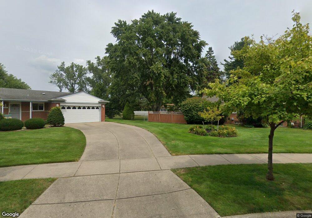
32784 Perth St Unit Bldg-Unit Livonia, MI 48154
Estimated Value: $366,000 - $391,000
3
Beds
2
Baths
1,346
Sq Ft
$281/Sq Ft
Est. Value
About This Home
This home is located at 32784 Perth St Unit Bldg-Unit, Livonia, MI 48154 and is currently estimated at $378,101, approximately $280 per square foot. 32784 Perth St Unit Bldg-Unit is a home located in Wayne County with nearby schools including Kennedy Elementary School, Johnson Upper Elementary School, and Frost Middle School.
Ownership History
Date
Name
Owned For
Owner Type
Purchase Details
Closed on
May 31, 2022
Sold by
Vanoast Zachary
Bought by
Toussaint Joel
Current Estimated Value
Home Financials for this Owner
Home Financials are based on the most recent Mortgage that was taken out on this home.
Original Mortgage
$308,750
Outstanding Balance
$293,364
Interest Rate
5.11%
Mortgage Type
New Conventional
Estimated Equity
$84,737
Purchase Details
Closed on
Mar 1, 2018
Sold by
Buhagiar Charles
Bought by
Vanoast Zachary
Purchase Details
Closed on
Nov 30, 2009
Sold by
Felice Gregory M and Felice Eileen T
Bought by
Buhagiar Charles
Create a Home Valuation Report for This Property
The Home Valuation Report is an in-depth analysis detailing your home's value as well as a comparison with similar homes in the area
Home Values in the Area
Average Home Value in this Area
Purchase History
| Date | Buyer | Sale Price | Title Company |
|---|---|---|---|
| Toussaint Joel | $340,000 | Reputation First Title | |
| Toussaint Joel | $340,000 | Reputation First Title | |
| Vanoast Zachary | $250,150 | None Available | |
| Buhagiar Charles | $143,000 | Title Express Llc |
Source: Public Records
Mortgage History
| Date | Status | Borrower | Loan Amount |
|---|---|---|---|
| Open | Toussaint Joel | $308,750 |
Source: Public Records
Tax History Compared to Growth
Tax History
| Year | Tax Paid | Tax Assessment Tax Assessment Total Assessment is a certain percentage of the fair market value that is determined by local assessors to be the total taxable value of land and additions on the property. | Land | Improvement |
|---|---|---|---|---|
| 2025 | $3,154 | $168,500 | $0 | $0 |
| 2024 | $3,154 | $159,000 | $0 | $0 |
| 2023 | $3,001 | $135,500 | $0 | $0 |
| 2022 | $4,533 | $125,000 | $0 | $0 |
| 2021 | $4,403 | $119,800 | $0 | $0 |
| 2019 | $4,049 | $99,700 | $0 | $0 |
| 2018 | $1,628 | $91,600 | $0 | $0 |
| 2017 | $2,882 | $86,300 | $0 | $0 |
| 2016 | $3,029 | $86,300 | $0 | $0 |
| 2015 | $7,034 | $76,620 | $0 | $0 |
| 2012 | -- | $67,930 | $17,500 | $50,430 |
Source: Public Records
Map
Nearby Homes
- 32950 Perth St
- 32925 Martin St
- 33025 Martin St
- 33040 Allen St
- 14214 Cranston St
- 32136 Lyndon St
- 14879 Fairfield St
- 14677 Auburndale St
- 14563 Melrose St
- 15075 Hubbard St Unit 5
- 14327 Arden St
- 32651 5 Mile Rd Unit 15
- 15040 Berwick St
- 31126 Grennada St
- 31221 Lyndon St
- 14164 Bainbridge St
- 14292 Hubbell St
- 14154 Hubbell St
- 30831 Lyndon St
- 15600 Auburndale St
- 32784 Perth St
- 32856 Perth St
- 32856 Perth St
- 32710 Perth St
- 14166 Loveland St
- 14229 Brookfield St
- 14174 Loveland St
- 14211 Brookfield St
- 32851 Perth St
- 14251 Brookfield St
- 14182 Loveland St
- 14148 Mayfield St
- 14151 Mayfield St
- 32673 Perth St
- 32865 Perth St
- 14196 Loveland St
- 14140 Mayfield St
- 14145 Mayfield St
- 32879 Perth St
- 14210 Loveland St